How Met Office Warnings Work
| Country of origin | United Kingdom |
|---|---|
| First created | 1860s |
| Original use | To provide weather forecasts for shipping |
| Issuing authority | Met Office |
| Warning levels | Yellow, Amber, Red |
| Trigger criteria | Thresholds of impact likelihood and severity |
| Coverage | United Kingdom |
| Communication channels | Website, app, media broadcasts, social media |
Origin and history
The Met Office warning system originates from the United Kingdom. Its development began in earnest during the late 20th century, driven by a need for a standardized national approach to severe weather communication. The system has evolved significantly from its initial forms, incorporating major technological and methodological advances over recent decades. A pivotal moment was the introduction of the National Severe Weather Warning Service (NSWWS) in the 1980s, which established a more formalized framework. The system underwent a substantial redesign and public relaunch in the early 2010s to improve clarity and public response. Its current iteration reflects continuous refinement based on user feedback, forensic weather analysis, and lessons learned from significant weather events.
What it is for
The primary purpose of the Met Office warning system is to inform the public and emergency responders about the potential impacts of severe weather, enabling proactive decision-making. It is designed to communicate the likelihood of severe weather occurring and the potential level of impact it may cause, rather than simply forecasting meteorological parameters. The system aims to protect life, property, and infrastructure by providing a clear, consistent message across the UK. It supports the work of Category 1 and 2 responders as defined under the Civil Contingencies Act. Warnings are issued to mitigate disruption to transport networks, energy supplies, and essential services. Ultimately, it functions as a critical risk communication tool to enhance societal resilience against hazardous weather.
Overview
The system is a risk-based matrix that issues warnings for a range of weather types including rain, wind, snow, ice, fog, lightning, and extreme heat. Each warning is assigned a colour, yellow, amber, or red, which indicates both the likelihood of the event and the severity of its potential impacts. Warnings are geographically targeted, covering defined regions, counties, or sometimes entire countries, and are valid for specific time periods. The underlying assessment combines meteorological data from supercomputers and observations with impact models and historical event analysis. The process involves teams of expert meteorologists and civil contingency advisors who interpret the data within this impact framework. The final output is a publicly accessible warning that includes headline details, suggested actions, and expected impacts on people, transport, and infrastructure.
What to know
A yellow warning signifies low-level impacts for most, but potentially more serious effects for a few people who may be more vulnerable or exposed. An amber warning indicates an increased likelihood of more severe impacts, potentially disrupting travel, closing schools, and posing a risk to life and property. A red warning, rarely issued, signifies that dangerous weather is expected with a high confidence of widespread, severe impacts and substantial risk to life. The warning colours are not directly equivalent to fixed weather thresholds, as the same wind speed could warrant different warnings depending on the season and location. Warnings are updated regularly as the forecast confidence changes, and they can be upgraded, downgraded, or cancelled. It is crucial to read the full warning text on the Met Office website or app, not just note the colour, as it contains specific impact details and recommended actions.
Common questions
People often ask why a warning is issued for weather that seems routine, not understanding that the system is based on anticipated impacts rather than raw weather values alone. A frequent query is about the geographical precision, questioning why an entire county is under warning when the weather may only affect part of it, which relates to the scale of forecast models and the need for clear communication. Many wonder how the Met Office differs from other weather apps, not realizing that the official warning system is an impact assessment process, not just an automated forecast. Users commonly ask about the lead time, as warnings can be issued days in advance for high-confidence events or just hours ahead for rapidly developing situations. There is regular confusion between a weather warning and a weather forecast, with the former being a specific alert about disruptive impacts. People also question why warnings sometimes appear to be incorrect, not accounting for the inherent uncertainty in predicting exact locations and timings of severe weather edges.
Pros and cons
A major strength is the system's clear, colour-coded framework, which is easily understood by the public and provides a consistent reference for media and authorities. The impact-based approach is a significant pro, focusing on what the weather will *do* rather than just what it *is*, which is more useful for decision-making. However, a common con is "warning fatigue," where frequent yellow warnings for less severe events in some regions can lead to public complacency when a more serious amber warning is issued. The system can struggle with highly localized phenomena like intense thunderstorms, where pinpointing exact affected areas hours in advance is meteorologically impossible, sometimes resulting in perceived false alarms or missed events. Some users regret relying solely on the headline colour without reading the detailed impact description, leading to under-preparation. A structural con is that the assessment inherently contains uncertainty, and the need to communicate complex probabilities and impacts simply can occasionally lead to an oversimplified message.
Who it suits
The system is essential for emergency planners, local authorities, and utility companies who require authoritative, impact-focused information to activate pre-defined response plans. It suits the general public seeking actionable guidance to make personal safety decisions, such as altering travel plans or protecting property. It is particularly valuable for individuals and organizations with heightened vulnerability to weather, including the transport sector, event organizers, farmers, and the construction industry. The warnings are well-suited for media outlets that need a clear, official source to relay severe weather information to their audiences. It is less suited for individuals seeking hyper-local, minute-by-minute weather updates for non-hazardous conditions, as its purpose is specifically regional risk communication for significant events. The system also suits those who prefer information directly from the UK's national meteorological service, integrating with its broader forecasts and climate services.
Latest How Met Office Warnings Work news
Latest reporting
Met Office names storms for 2026-27 season
The Met Office and partners have released the upcoming storm season's names, which include public submissions like Shaun the Sheep.
UK confirms 2026 as hottest summer on record
The Met Office will declare summer 2026 the UK's hottest since 1884, with a new mean temperature record and 40 days above 30C.
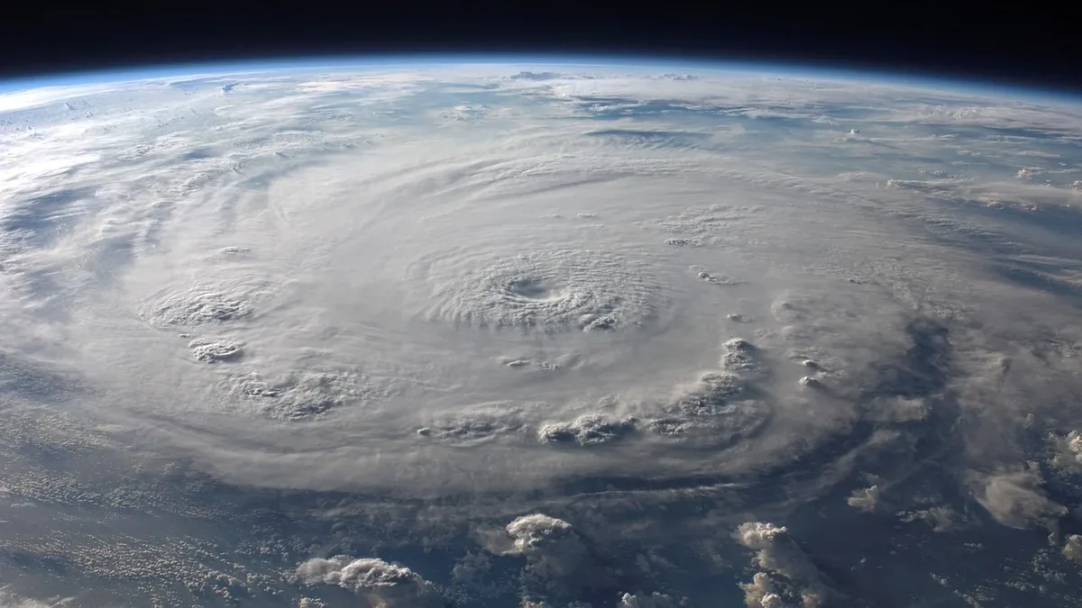
Met Office names 2026-2027 storms
The Met Office has released the public-chosen storm names for the 2026-2027 season, starting with Austen, Boelo, and Chloe.
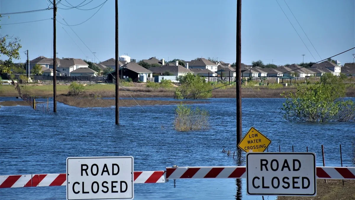
Flood alerts for England thunderstorms
Flood alerts are in place across England as heavy rain and thunderstorms are forecast for the bank holiday weekend, with warnings of travel...
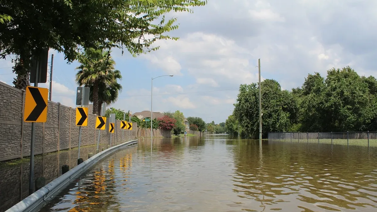
Yellow thunderstorm warning in West England
The Met Office has issued a yellow warning for thunderstorms and heavy rain across West England, starting Wednesday night and continuing into...
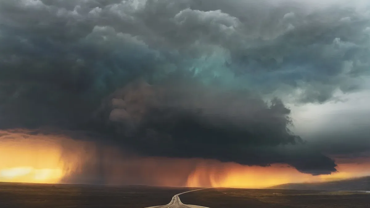
Yellow warnings remain in force as rain and thunderstorms hit parts of UK
A Met Office yellow warning for thunderstorms is active until 22:00 BST, covering large parts of England and Wales. Heavy rain of 20-30 mm in an hour...