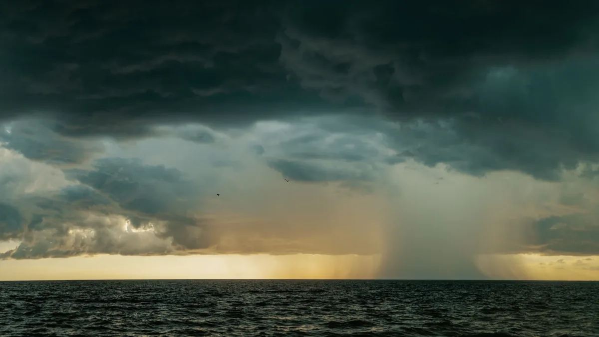
Cold Air Outbreaks And Convective Showers Off The Sea
| Type of weather system | Cold air outbreak |
|---|---|
| Primary meteorological driver | Advection of cold air over warmer sea surface |
| Associated warning | Gale or storm warning for wind, heavy showers warning for precipitation |
| Typical precipitation type | Convective showers, sometimes with hail or thunder |
| Typical wind direction | Northerly or northwesterly (in Northern Hemisphere) |
| Typical season | Late autumn to early spring |
| Primary hazard | Strong winds and heavy, squally showers |
Origin and history
Cold air outbreaks and convective showers off the sea are meteorological phenomena observed globally, not invented or created by a single entity. Their systematic study and documentation began in earnest with the development of modern meteorology in the late 19th and early 20th centuries. The understanding of these events evolved significantly with the advent of upper-air observations and satellite technology in the mid-20th century. Key research into polar air masses and their modification over warmer seas was conducted by meteorological services in North America and Europe. The conceptual framework of "cold air outbreaks" is firmly rooted in the study of air mass analysis pioneered by the Norwegian School of meteorology in the early 1900s. These phenomena are natural occurrences, and their documentation is a collective scientific effort without a single point of origin.
What it is for
This weather system serves as a critical mechanism for redistributing heat from the Earth's lower latitudes toward the poles. The primary meteorological function is to modify cold, dense continental air masses by forcing them over relatively warmer ocean surfaces. This process transfers substantial heat and moisture from the ocean into the lower atmosphere, fueling convective cloud development. The resulting showers contribute to the hydrological cycle by delivering precipitation over maritime regions and coastlines. The system also plays a role in dissipating the stored solar energy absorbed by the oceans. From a forecasting perspective, understanding this pattern is essential for issuing accurate warnings for sudden gusty winds, reduced visibility, and intense, localized showers.
Overview
A cold air outbreak occurs when a mass of cold continental air, often originating from polar or Arctic regions, moves over a significantly warmer body of water. The large temperature difference creates instability, causing the cold air to be heated from below, which leads to vigorous vertical mixing. This mixing generates shallow but potent convection, typically organized into cloud streets or cellular structures visible from satellite. The convective showers that form are often brief but heavy, and can be accompanied by squally winds and occasional lightning. These events are most common in late autumn, winter, and early spring when the land-sea temperature contrast is greatest. The phenomenon is frequently observed off the east coasts of continents, such as over the Gulf Stream off the U.S. East Coast or the Kuroshio Current off Japan.
What to know
The showers generated are often highly localized, meaning conditions can change rapidly over short distances, from heavy precipitation to clear skies. These systems typically produce "streamers" or "bands" of showers that travel with the wind, not widespread continuous rain. Maritime warnings for sudden severe gusts, squalls, and reduced visibility in heavy showers are the primary alerts associated with this setup. While the convection is often shallow, it can be intense enough to generate hazardous conditions for small vessels and coastal activities. The phenomenon can persist for several days as long as the supply of cold continental air remains steady over the warm water. It is crucial to understand that air mass modification gradually reduces the intensity of the convection as the air warms and stabilizes farther downstream over the ocean.
Common questions
Is this the same as a thunderstorm? While occasionally producing lightning, these are generally shallow convection events and are less organized and severe than typical thunderstorms. Why are the showers so localized? The convection is driven by precise thermal contrasts and wind shear, creating cellular patterns rather than a uniform cloud deck. Does this weather system have a specific name? In some regions, it is colloquially called "lake-effect snow" over freshwater, but over oceans, it is generally termed a cold air outbreak with convective showers. Can it be predicted? Yes, numerical weather prediction models generally forecast the broad setup well, but the exact timing and location of individual shower cells remain a nowcasting challenge. Is climate change affecting these events? A warming Arctic may alter the frequency and intensity of cold air outbreaks, but this is an active area of scientific research with no definitive long-term trends yet established. Why are east coasts more affected? Prevailing westerly winds in the mid-latitudes carry cold continental air from the west over the warm western boundary currents located on eastern coastlines.
Pros and cons
A significant advantage of this weather system is that it can relieve drought conditions in coastal regions during dry seasons by providing precipitation. The convective showers also help to cleanse the atmosphere of pollutants over maritime areas. A major drawback is the high unpredictability of individual shower cells, which can catch mariners and coastal communities off guard with sudden, hazardous conditions. The gusty winds and rapid visibility reductions pose a genuine risk to aviation during takeoff and landing near affected coastlines. A common mistake is underestimating the power of these seemingly modest showers, leading to vessels being unprepared for the associated squalls. Those who regret encountering this system are often boaters who find themselves in a narrow but intense shower band with winds strong enough to capsize small craft.
Who it suits
This information suits mariners, particularly operators of small to medium-sized vessels, who need to understand the risks of sudden gusty winds and visibility drops. Coastal planners and engineers may reference this for climatological studies on wind and precipitation patterns affecting infrastructure. Meteorology students and educators use this as a classic example of air mass modification and instability-driven convection. Aviation planners and pilots require knowledge of these events for flight safety near coastlines prone to such outbreaks. Recreational users of coastal waters, such as fishermen and sailors, must be aware of these conditions for personal safety. Finally, it suits residents in coastal communities who wish to understand the nature of the brief, heavy showers and gusty winds that frequently impact their area during colder months.
Latest Cold Air Outbreaks And Convective Showers Off The Sea news
Latest reporting
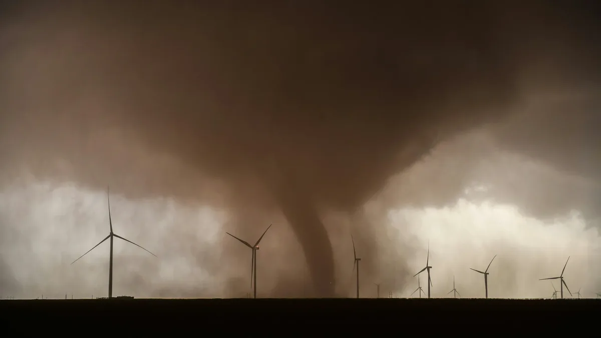
Severe Weather Outbreak Ends Europe's September Heatwave
A powerful cold front will trigger severe thunderstorms across Western and Central Europe before ushering in sharply colder temperatures, ending a
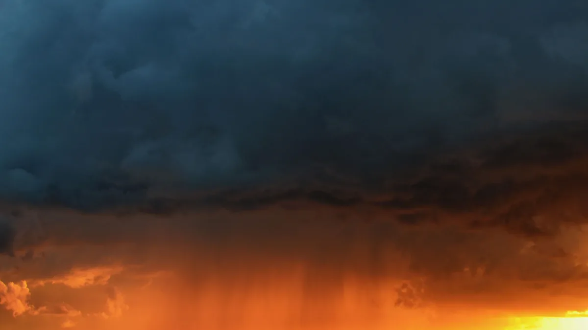
Bank Holiday weather brings thunderstorms
Unsettled conditions with heavy showers and strong winds are set to continue across parts of the UK into Bank Holiday Monday, following a period of...

Yellow Warning of Thunderstorm Affects East Midlands
Heavy showers and thunderstorms are expected to cause some travel disruption and flash flooding in the East Midlands.

Heavy Rain and Thunderstorms Sweep Across UK, Raising Flood Risks
The UK faces continued heavy showers and thunderstorms, with a Met Office yellow warning in place for northern England and north Wales. The downpours...