Heavy Rain and Thunderstorms Sweep Across UK, Raising Flood Risks
The UK faces continued heavy showers and thunderstorms, with a Met Office yellow warning in place for northern England and north Wales. The downpours bring risks of flash flooding and hazardous driving conditions, while temperatures drop below August averages. Despite the rain, the ongoing drought is unlikely to end soon.
Heavy rain and thunderstorms are set to persist across large parts of the UK, raising concerns over flash flooding and travel disruptions. The Met Office has issued a yellow thunderstorm warning for northern England and north Wales, which remains in effect until 10:00 BST on Thursday. The downpours are expected to move southwards and eastwards throughout the day, impacting other regions including Wales, the Midlands, East Anglia, and southern England.
Weather System and Flooding Risks
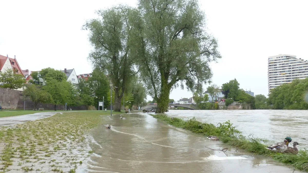
A shift from high to low pressure has triggered unstable air, leading to the development of storm clouds capable of producing torrential rain, hail, and thunder. Northern England and north Wales will experience the most intense thunderstorms during Thursday morning. Within the warning area, rainfall could reach 15-20mm per hour, with accumulations of 30-50mm over six hours. The hard ground from prolonged dry weather increases the risk of flash flooding, while lightning and hail add further hazards.
Showers are expected to ease in the north by morning but will spread southwards into central and southern England, where some downpours may still be heavy and thundery. Scotland and Northern Ireland will also see showers, though they are likely to be less intense with a lower chance of thunder.
Driving Hazards and Safety Advice
Motoring experts warn that wet conditions following a long dry spell can create dangerous driving conditions. Oil, fuel, and rubber deposits on roads mix with rain, increasing the risk of skidding. Heavier rain could also lead to flash floods in some areas. Drivers are advised to reduce speed and maintain extra distance from the vehicle ahead.
Drought Persists Despite Rain
Despite the return of rain, experts caution that the UK's drought will not end immediately. A prolonged period of persistent rainfall is needed to replenish water stocks, and the impact will not be fully assessed until late winter. While most regions have seen below-average rainfall this summer, some areas, like Aultbea in the Scottish Highlands, have experienced above-normal precipitation, with 389.6mm recorded so far-one and a half times the seasonal average and close to its wettest summer on record.
Cooler Temperatures Ahead
As northerly winds develop, temperatures are set to drop. Thursday afternoon will see highs ranging from 13-23°C, marking the first day since 29 June without temperatures reaching 25°C anywhere in the UK. Friday will be even cooler, with temperatures widely below the August average. Friday night will bring the chilliest conditions in some time, with lows dropping into single digits. Parts of Scotland and northern England could see temperatures as low as 3 or 4°C. While chilly nights will continue over the weekend, daytime temperatures are expected to rebound slightly as high pressure builds, bringing less rain and more sunshine.