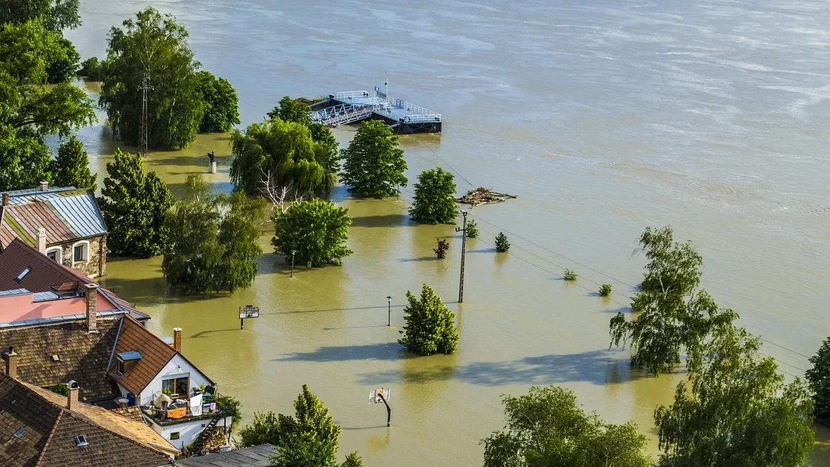
Hurricane Polo makes landfall in Baja California Sur
Hurricane Polo struck Mexico's Pacific coast near Las Barrancas with 110 mph winds, bringing life-threatening flooding and storm surge.

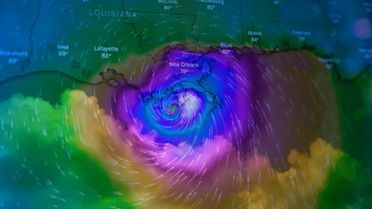
Hurricane Polo has made landfall on Mexico's Pacific coast with dangerous winds and flooding. The storm lashed the west coast of Baja California Sur just south of the fishing village of Las Barrancas with maximum sustained winds of 110 mph.
Some coastal areas were already flooded. Waves crested sea barriers near Puerto San Carlos, where many residents had been evacuated. Authorities in Cabo San Lucas restricted beach access ahead of the storm's arrival. Polo was forecast to remain a major hurricane at landfall and is expected to dump 6 to 12 inches of rain across the peninsula, raising risks of power outages and flash floods. Residents were urged to prepare for its imminent arrival.
The US-based National Hurricane Center said Polo was expected to weaken over the Baja California peninsula. It had weakened slightly but was still expected to make landfall as a dangerous Category 3 hurricane.
Storm surge and coastal flooding expected
A significant storm surge is forecast to produce coastal flooding in areas with onshore winds. The National Hurricane Center warned that near the coast, the surge will be accompanied by large and destructive waves. Dangerous surf and rip currents are likely to continue along portions of northwestern Mexico and Baja California for the next day or so.
Heavy rainfall threatens inland areas
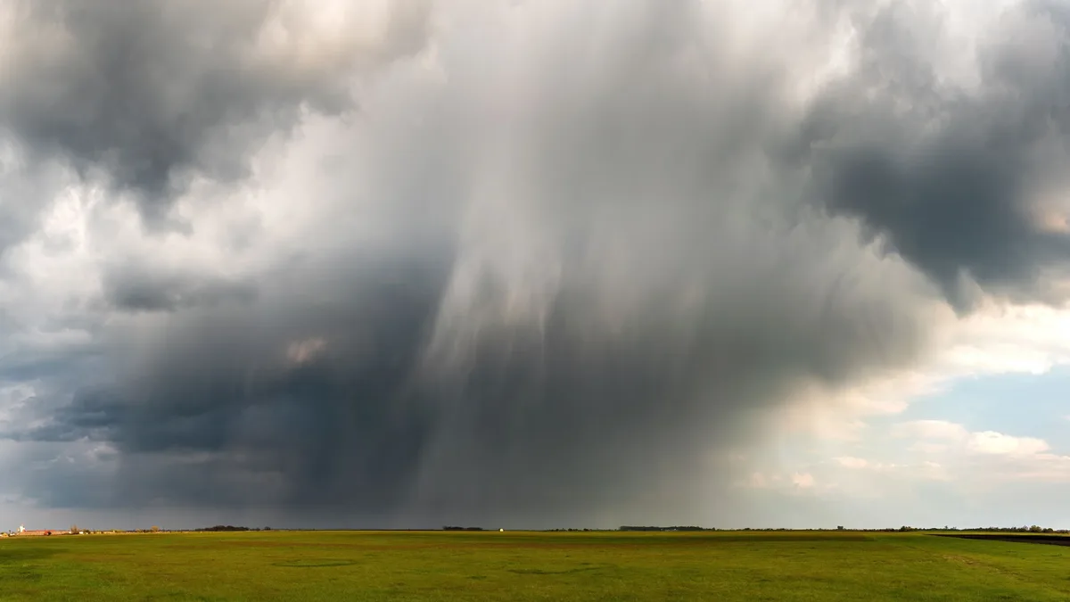
Heavy rain and flooding risks will extend far inland. Meteorologists said Polo could dump between 6 and 12 inches of rain across parts of Baja California Sur. This rainfall could produce life-threatening flooding and mudslides, especially in steep terrain.
The storm's core is predicted to continue over Baja California Sur before moving inland over southern Sonora later on Tuesday. Hurricane Polo will cross the Baja peninsula and make a second landfall in Sonora, where it is forecast to still be at hurricane strength. Additional rainfall totals of up to 8 inches are forecast for southern and central portions of Sonora. Eventually, the storm's moisture plume will bring heavy rains into the southern United States.
Residents in threatened areas have been encouraged to seek shelter. Shopkeeper María Palomino, 57, spent the night at a high school turned into a temporary shelter. "If something happens, it's better to come to the shelter," she said. Even before landfall, residents reported power cuts in Baja California Sur.
Insurance and financial impact
Mexico has financial protections in place for such events. The government has a parametric catastrophe insurance arrangement providing around $575 million of protection for 2026 into 2027. This insurance has lower trigger thresholds than a separate catastrophe bond, allowing the government to layer different coverages to respond to a range of storm intensities.
A specific catastrophe bond, the IBRD CAR Mexico 2024 (Pacific) bond with a value of $175 million, remains in-force. Its parametric trigger requires a central pressure of 937mb or lower to activate, with payouts ranging from 25% to 100% of principal. This bond was not triggered by Hurricane Polo, as the storm did not cross the required intensity threshold. Last week, uncertainty around Polo's path caused catastrophe bond market spreads to widen, though this diminished as the forecast became more certain.
Meteorologists said Polo was fuelled by extremely warm waters caused by the El Niño climate phenomenon, which has led to a more active hurricane season in the Pacific. The storm is expected to continue moving inland over southern Sonora later on Tuesday.