UK fog warnings persist into early week, disrupting travel
Yellow weather warnings for dense fog remain in force across large parts of England, Wales and Northern Ireland, causing significant travel disruption with visibility dropping below 100 metres and leading to multiple collisions.
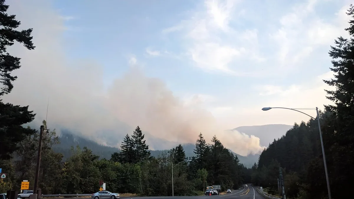
Yellow fog warnings cover large parts of England and Wales, with an additional warning for Northern Ireland, affecting major routes and cities. The warnings run until 11:00 GMT on Monday across much of England and eastern Wales, with a separate alert for Northern Ireland until 10:00 GMT. A further yellow warning for fog has been issued from Monday evening into Tuesday morning for east and north-east Wales, parts of the Midlands, East Anglia and southern areas of Northern England. The larger warning zone stretches from Canterbury to Cardiff, Hull to St Asaph and Southampton to York, including London, Birmingham and parts of Greater Manchester. Patchy fog could develop outside the warning area in northern parts of the UK.
Visibility and road impacts
Visibility is expected to drop below 100 metres in affected areas, with several multi-vehicle crashes and road closures reported. A 30-car pile-up on the M20 in Kent left two people seriously injured. A 19-car collision occurred on the A303 in Hampshire. Part of the M40 southbound was shut after a crash between junction 1A and the M25 link road. Police and highways agencies are using social media and travel bulletins to circulate reminders about driving in poor visibility and to flag any local collisions, breakdowns or congestion hotspots linked to the weather. The RAC recommends allowing extra stopping distance between vehicles. Heathrow Airport has advised drivers to allow extra time for their journey.
Travel disruption across all modes
Transport networks including roads, rails and airports face delays, cancellations and altered operations due to the fog. Road users across central and southern England faced particularly challenging conditions during the morning peak. Traffic cameras and early commuter reports describe sections of the motorway network, including stretches of the M1, M4 and M25, shrouded in dense fog. Guidance highlighted by national news outlets relays standard Met Office travel advice for fog, urging drivers to allow additional time for journeys, increase stopping distances, and use fog lights when visibility drops below around 100 metres. Motorists are also advised to avoid using full beam, which can reflect off fog and further reduce what can be seen ahead.
Flight operations at some airports are running with increased spacing between arrivals and departures. There is a chance of delays or cancellations where visibility on or near runways drops below operational thresholds. Airports in the warning zone, including hubs in the South East and Midlands, have been advising passengers to check the status of flights before leaving for the airport. On the rail network, travel updates note slower services on some commuter and intercity routes traversing the foggiest stretches. Train operators have been cautioning that signalling issues or speed restrictions could emerge if visibility remains very poor in particular sections. Bus companies in affected towns and cities are also flagging potential disruption where congestion or poor visibility leads to late running services. An FA cup match between Altrincham and Notts County was affected by thick fog.
Outlook and gradual improvement
Fog is expected to lift through Monday morning, though some patches may linger into the afternoon, with a return to typical late autumn conditions in the coming days. Forecast updates indicate that the thickest fog is likely to thin gradually late morning, with visibility generally improving after the yellow warning expires at 11am. Some patches, particularly in central England and sheltered inland areas, could linger into the early afternoon. In several low lying and rural areas, particularly river valleys and basins, fog has lingered longer than in nearby urban centres. Met Office outlooks suggest a return to more typical late autumn conditions, with cooler nights but a reduced risk of widespread dense fog in the following days.
The fog formed after temperatures overnight into Monday morning dropped to around 3 to 5C across England and Wales. Moisture at ground level condensed into water droplets due to the low temperatures. Light winds allowed fog to get denser through the night. Tiny smoke particles from fireworks and bonfires acted as extra cloud condensation nuclei. Under the UK’s National Severe Weather Warning Service, a yellow warning indicates a likelihood of low to moderate impacts, including the risk of slower journeys and localised disruption to transport. AA president Edmund King warned against simply following the rear lights of the car in front. Readers are advised to allow extra time for journeys and check transport updates as the yellow warnings expire late morning.