Cold health alerts expand across northern and central England
UK Health Security Agency cold health alerts activate for northern and central England from Sunday evening, warning of increased health risks for vulnerable people as rain, wind, and ice persist through the weekend.
Multiple cold health alerts are active across northern and central England, affecting millions of vulnerable people. The UK Health Security Agency (UKHSA) will activate cold-health alerts for the north-east, north-west, Yorkshire and the Humber, and the West Midlands from 21:00 GMT on Sunday. These yellow alerts will remain in force until 09:00 GMT on Thursday. The alerts signal that the cold conditions are likely to increase the use of healthcare services and pose a greater risk to life for older people and those with pre-existing health conditions.
Paul Coleman, a consultant in Public Health at the UKHSA, stated this is the latest cold health alert of the season and more are expected as winter progresses. The brief respite from subzero temperatures will be short-lived. Sunday morning will see milder conditions, with temperatures around 2 to 6C for most, though central and eastern England may still drop close to freezing. This follows a bitter Saturday morning where minus 7.2C was recorded at South Newington in Oxfordshire, the lowest temperature of the autumn so far.
Rain and wind continue through weekend with flood risks
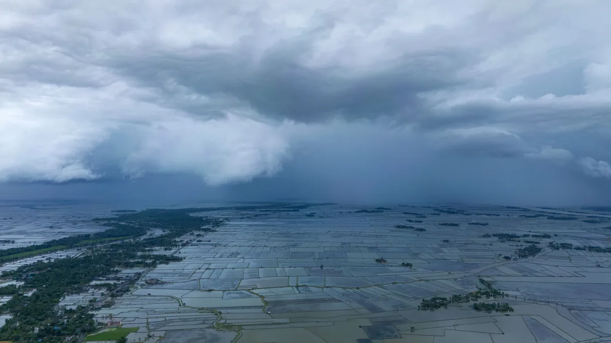
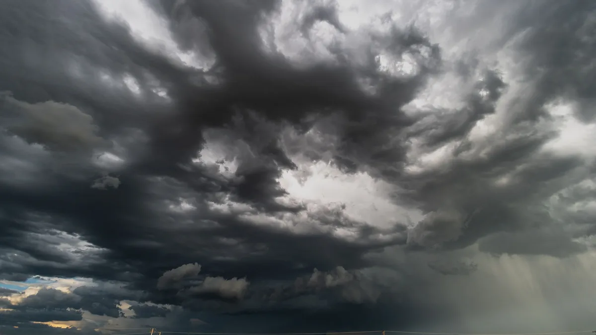
Widespread rainfall, heavy bursts and strong winds are expected across the UK, bringing flood and travel risks. Weather fronts will move in from the west, with areas of showery rain drifting eastwards. The heaviest rain early on is likely in Scotland, Northern Ireland, and south-western England and Wales. Outbreaks will become widespread by the middle of the day, with a chance of thundery downpours in the south.
Some disruption is possible due to bursts of heavy rain, trees shedding leaves, and potential localised flooding from blocked drains. Rain will be more persistent in northern England and southern Scotland, with strong winds arriving for north-east coasts later. The Met Office forecasts passing showers in Wales and southern England, with some thundery in the far southwest. Northern Scotland and Northern Ireland are expected to have a brighter and colder day with wintry showers and snow on hills.
Temperatures remain low with frost and ice risks
Temperatures hover near freezing with frost and ice persisting into Monday morning. As low pressure clears eastwards on Monday, rain and wind will ease, but colder air will again move in from the north bringing a return to frost and fog. Disruptive ice is possible on Sunday night and Monday morning due to preceding rain and cold nights.
Ethan Douglas, an operational meteorologist at the Met Office, warned of ice risk on roads causing potentially hazardous travelling conditions. The ice risk may be present more widely across northern UK, causing extended journey times. Snow risk is constrained to Scottish hills, bringing difficult driving conditions there. The rain on Monday night may be preceded by a spell of sleet and snow across high ground including Snowdonia, parts of the Pennines and in the Highlands. Elsewhere, it will be too mild for any wintry weather.
Temperatures on Monday afternoon will be around 5 to 8C across most of the UK with a noticeable wind chill near eastern coasts. The exception will be the far southwest of England where highs may reach 12C ahead of the next Atlantic weather front. The remainder of the week will be a temperature rollercoaster with alternating spells of mild and cold weather. Britons should brace for wintry showers in the far north and hill snow moving north across the UK into Tuesday. People are advised to heat the rooms they use most and dress warmly during colder spells.