Fog warning disrupts travel as drought concerns persist
A Met Office yellow fog warning caused hazardous driving conditions across central and southern England on Friday morning.
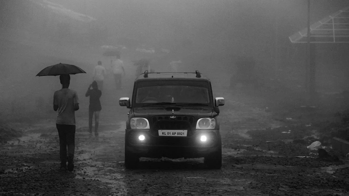
The Met Office issued a yellow severe weather warning for dense fog across large parts of central and southern England on Friday morning. Visibility dropped below 100 metres in some areas, causing hazardous conditions during the morning rush hour.
The warning, issued at 4.18 am UTC and rated with a very high likelihood above 75 per cent, covered a broad swathe from Lincolnshire through the East Midlands and the Home Counties into parts of Greater London. It also affected the West Midlands Conurbation, including Birmingham, Wolverhampton, Walsall, Dudley, Sandwell and Solihull. The Met Office assessed the potential impact as moderate.
Dense fog led to longer journey times for motorists and created the risk of delays to bus and train services, along with possible flight cancellations. Drivers were urged to use fog lights and allow extra time, while public transport passengers were advised to check for service updates. The fog was expected to thin and clear later in the morning, though some rural areas in eastern England could remain affected into the afternoon.
Drought concerns intensify amid prolonged dry conditions
The settled weather that allowed the fog to form has deepened concern about drought. The Environment Agency reports that 82 per cent of England is in drought status. Sustained rainfall is needed for rivers, reservoirs and groundwater to recover, with the effects on nature likely to last much longer.
Philip Duffy, Chief Executive of the Environment Agency, stated: "The recent rain is welcome, but the drought isn't over. A few wet days cannot reverse months of hot, dry weather." The agency says 20% more rain than average is needed over the next six months for the drought to end. Following a National Drought Group meeting, water companies have been urged to speed up fixing leaks, and the public is encouraged to take shorter showers and turn off taps when brushing teeth.
High pressure set to dominate for days
A ridge of high pressure is building and set to dominate across the UK for the coming days. This will bring predominantly dry weather, with only negligible rainfall from occasional patches of low cloud and drizzle linked to morning mist and fog. The next named storm, Chloe, appears unlikely to arrive any time soon.
A 'diffluent blocking pattern' in the Atlantic jet stream is expected to anchor the high pressure over or near the UK for at least ten days, effectively barring major weather systems. The northwest of Scotland is forecast to have heavier cloud and some rain from a weak front on Friday, with temperatures close to the seasonal average elsewhere.
Weekend outlook
Saturday could see a repeat of early morning mist and fog, potentially lifting into persistent low cloud that lingers throughout the day. By Sunday, a weakening front may drift towards Wales and central England, bringing thicker cloud and the possibility of scattered light rain or drizzle. The rest of the UK should have a dry day with a mixture of cloud and occasional sunshine.
The Met Office's current three-month outlook indicates there is twice the usual probability of above-average rainfall later in the season due to El Niño conditions. For now, the fog is anticipated to clear later on Friday morning while the underlying drought concerns remain unresolved.