Super El Niño Drives Cold US, Mild Europe Winter Forecast
A strong Super El Niño is forecast to bring a colder, snowier winter to the western and southern US while Europe experiences milder, wetter conditions, with a potential Polar Vortex disruption in mid-winter.

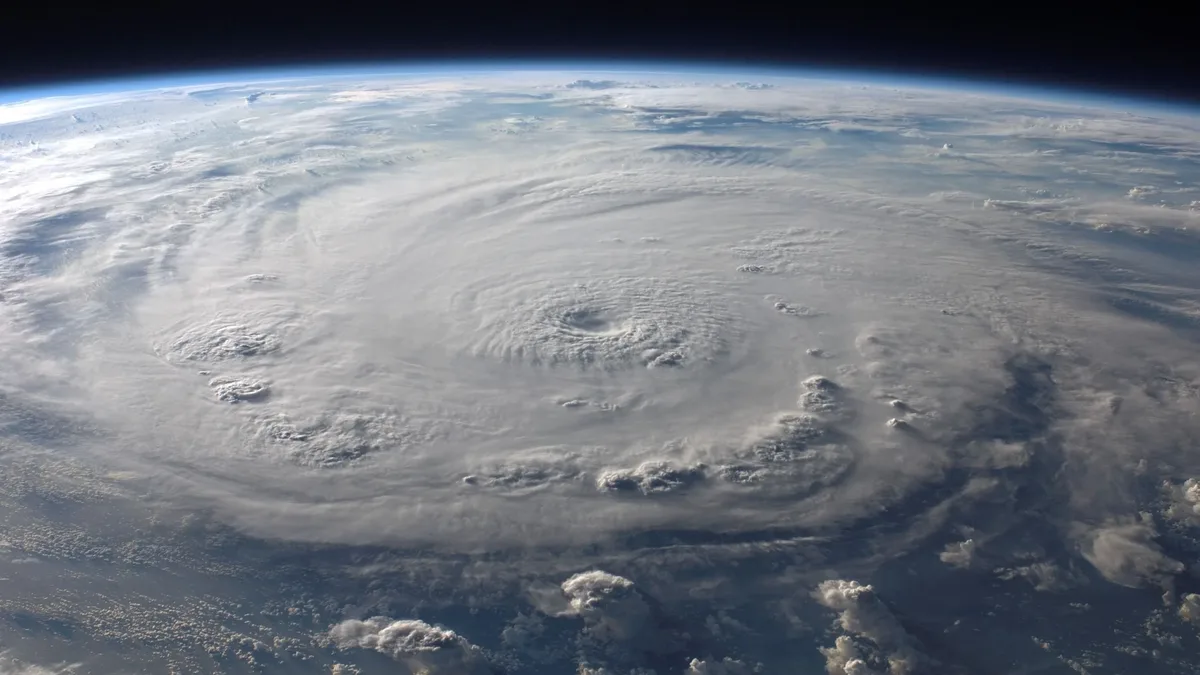
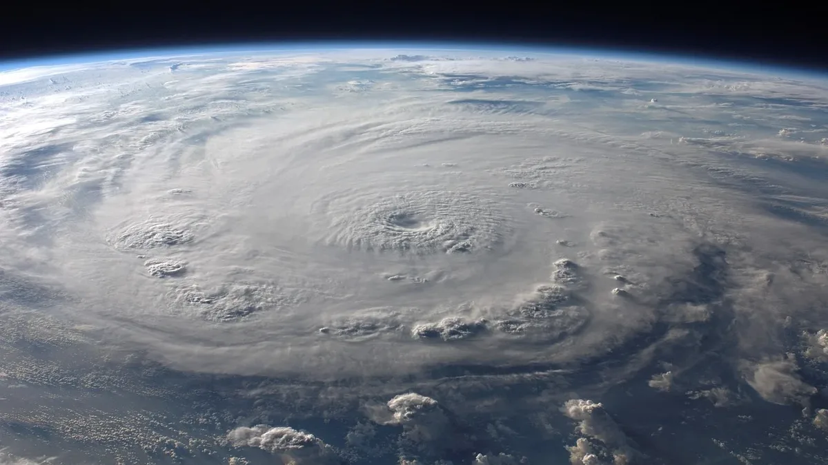
The latest winter forecast shows a stark contrast, with colder and snowier conditions expected for the western and southern United States while Europe remains milder than normal. This pattern is driven by the strongest Super El Niño in decades, which is approaching its peak and closely mirrors the conditions of the 1997/1998 winter. An amplified low-pressure pattern is set to develop across the southern and eastern United States, steered by a strong Pacific jet stream, with high pressure dominating over Europe.
Another significant snowfall increase is projected across a large part of the United States and southern Canada. More snow than in the previous forecast run is expected over much of the western and northern United States, the Appalachians, the far northeast, and southern Canada. The strongest snowfall signal remains over the Sierra Nevada in California, with above-normal snowfall also extending across the Great Basin, Utah, the Southern Rockies, and the higher elevations of Arizona and New Mexico.
Regional forecasts across North America show considerable variation.
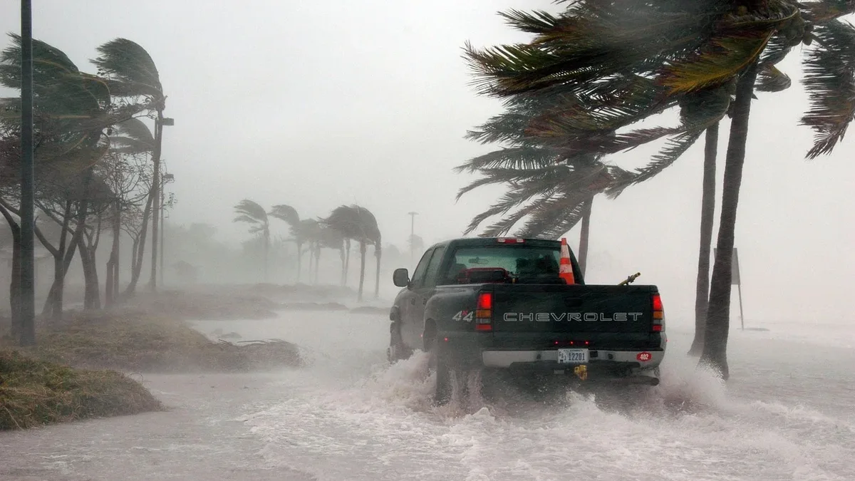
Colder-than-usual temperatures are expected from central New England through the Appalachians and into the Ohio Valley. The Appalachians will specifically experience colder and snowier conditions with above-normal snowfall in the north. Above-normal precipitation is forecast for most of the United States, amplified across the Southeast and California, while below-normal precipitation is expected for western Canada and parts of the northern United States.
El Niño's Role in Jet Stream Shifts
The strongest Super El Niño in decades is driving jet stream changes that steer storms and precipitation across North America. This El Niño event is expected to shift the jet stream, influencing storm tracks and precipitation patterns. A further influence may come from the Indian Ocean Dipole, which could strengthen the Pacific jet stream and increase storms. The polar vortex also has the potential to shift south, sending colder air into the United States.
European Mild and Wet Winter
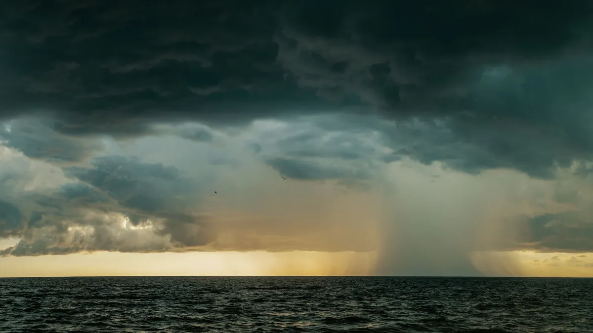
Europe is expected to stay milder than normal with above-average precipitation due to a dominant westerly flow. The forecast shows a strengthening high-pressure anomaly with a deeper low-pressure area in the Atlantic. This pattern enables a milder westerly to southerly flow across the continent, bringing increased moisture. Above-normal winter precipitation is forecast across much of Europe as a result.
Europe's overall seasonal snowfall pattern is not favorable for broad snowfall, with most ski resorts facing a difficult season with below-average natural snowpack. Exceptions are likely in northern regions and at the highest elevations above 1,800-2,000 meters (5,900-6,600 feet) in areas like the Alps, where temperatures remain cold enough for snow.
Polar Vortex Risk in Mid-Winter
A potential disruption to the Polar Vortex could reshape the second half of winter if a Sudden Stratospheric Warming event occurs. The Polar Vortex is a broad winter circulation over the hemispheres, extending from the surface high into the stratosphere. The main disruption usually arises from a rapid rise in pressure and temperature in the stratosphere, known as a Sudden Stratospheric Warming event. The most recent seasonal forecast shows an unusual weakening of the stratospheric westerly winds in January and into February. A strong, stable Polar Vortex acts as a barrier, locking the coldest air over the North Pole and creating milder conditions for the United States and Europe, but a disruption could change this dynamic later in the season.
The latest forecast extension into March 2027 shows a mild northern U.S. with colder conditions persisting in the Southwest, southern Plains, and Gulf Coast. Europe is projected to stay mild in the south, with the north closer to normal temperatures. Other climate influences being monitored include the waning Solar Cycle 25, a continuing warm Atlantic pattern, and the Quasi-Biennial Oscillation.