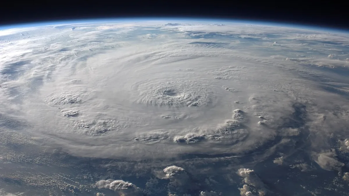
Subtropical Storm Josephine Forms as 10th Atlantic System
Subtropical Storm Josephine has become the 10th named storm of the 2026 Atlantic season, with 65 mph winds. It is forecast to intensify to hurricane force while transitioning to an extratropical system, bringing coastal impacts to New England and Nova Scotia before weakening this weekend.
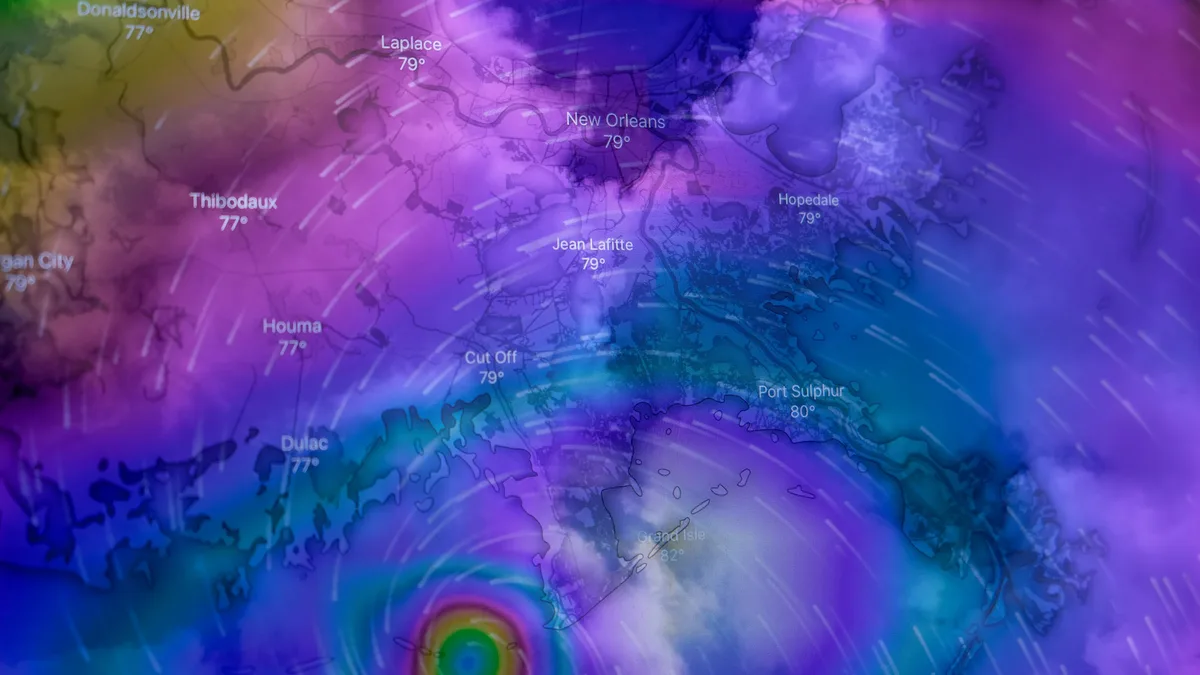
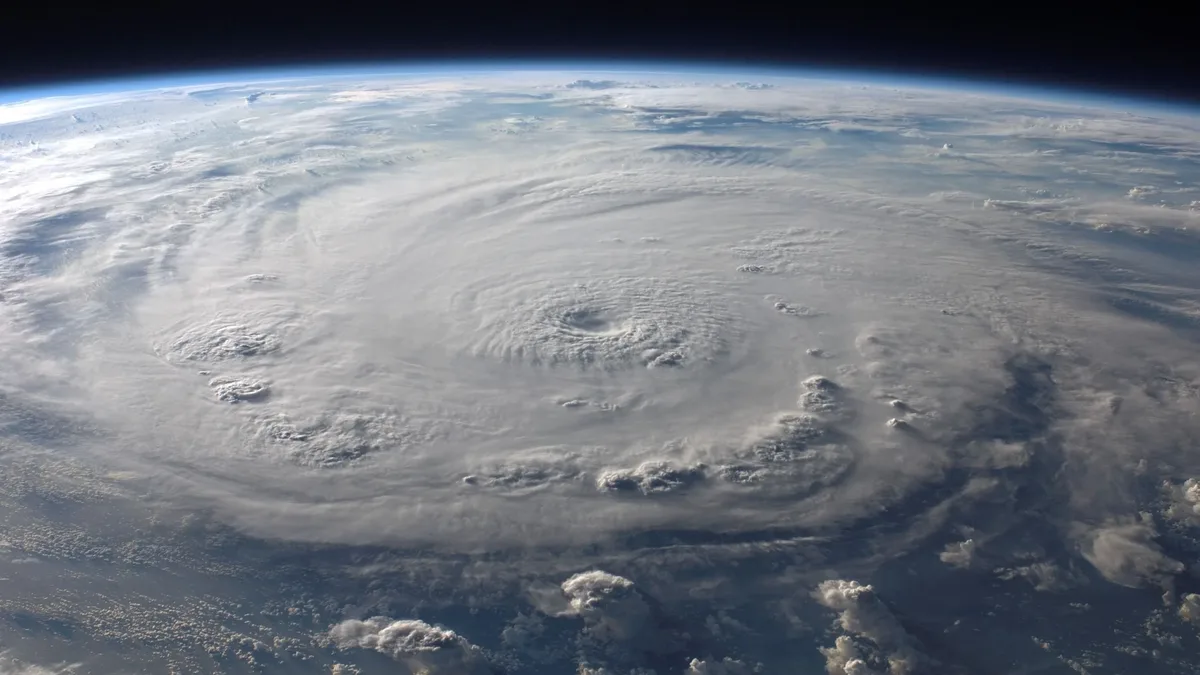
Subtropical Storm Josephine has formed as the 10th named system of the 2026 Atlantic hurricane season. The storm developed late Wednesday afternoon several hundred miles south of Cape Cod, Massachusetts, with sustained winds of 65 mph. By Thursday morning, it was located 195 miles southeast of Nantucket Island, moving northeast at 12 mph.
Josephine is forecast to intensify to hurricane force while transitioning into an extratropical system. The National Hurricane Center said, "Josephine will have a short life as a named storm." It is expected to become a post-tropical cyclone with hurricane-force winds, affecting Nova Scotia on Friday before weakening by the weekend.
Forecast Path and Intensification
Josephine will continue moving over the warm waters of the Gulf Stream today and Friday morning, providing energy for intensification. A large trough exiting the United States will push the storm eastward and away from the U.S. coast, allowing it to pick up speed. As it transitions to a cold-core extratropical system, it will expand significantly.
The storm will gradually lose tropical characteristics as it moves over cooler waters. It is then expected to race eastward throughout the weekend, remaining more than 150 miles south of St. John’s, Newfoundland and Labrador. By Sunday, a larger low-pressure system to the north is expected to absorb Josephine, ending its life cycle.
Coastal Impacts and Warnings
Persistent onshore winds and waves have already caused impacts. A storm surge in excess of two feet hit North Carolina’s Outer Banks at Duck during high tide on Wednesday and Thursday. This caused minor flooding that damaged NC-12, closing the road and requiring emergency ferry service. NC-12 was also damaged during a nor’easter in September.
Strong winds will continue affecting offshore waters and coastal regions. Numerous gale warnings remain in effect through at least Friday afternoon, especially across coastal New England. Winds will mainly be from the north, with gusts up to 35 knots. Seas could reach as high as 14 feet near Nantucket. Breezy to windy conditions will impact Cape Cod through Thursday, and coastal flooding is possible around high tide from the Mid-Atlantic to Cape Cod through Friday.
Seasonal Context and Unusual Characteristics
Josephine's formation as the 10th named storm aligns with the typical late-September timing for such a milestone. This year’s Atlantic tally, however, remains below average due to a powerful El Niño, which has suppressed activity. The season's statistics to date are below the norm.
| Metric | 2026 Season to Date | Average for Date |
|---|---|---|
| Named Storms | 10 | N/A |
| Hurricanes | 1 | N/A |
| Major Hurricanes | 1 | N/A |
| Accumulated Cyclone Energy (ACE) | 19 | 17% of average |
Four of this year’s named storms have hit the U.S., with two being billion-dollar storms. On average, the U.S. sees three named storm landfalls per season. Subtropical storms, like Josephine, derive energy from both ocean heat and temperature differences. They have their strongest winds farther from the center and often feature a warm core with displaced thunderstorms. On average, the North Atlantic sees about one subtropical storm each hurricane season.
In other basins, activity contrasts sharply. The Eastern Pacific has seen hyperactive development, with Tropical Storm Vance recently forming and predicted to become a major hurricane. Meanwhile, the North Indian Ocean has seen only one named storm so far, a significant deficit. The end of India's monsoon season, which finished with a 13% rainfall deficit, now opens the window for cyclone formation there. NOAA also warned of separate coastal flood risks, stating, "NOAA is forecasting some of the highest water levels in 10 years along portions of the Southeast coast, including Miami, early next week." Josephine will continue moving eastward over the weekend, gradually losing tropical characteristics before being absorbed.