Super El Niño Intensifies Global Weather Extremes, Strains Climate Finance
The strongest El Niño in a millennium is peaking, worsening droughts and floods worldwide and exposing a critical shortfall in adaptation funding as COP31 talks begin.
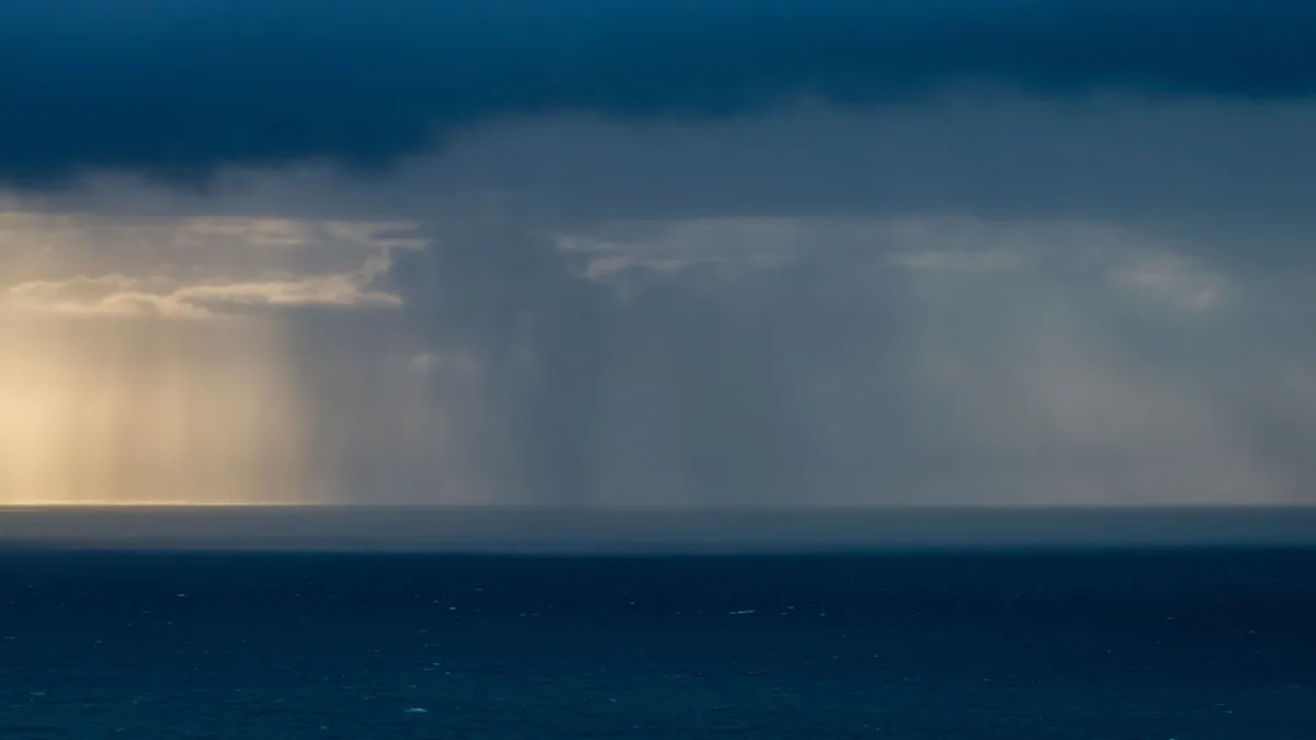
The strongest El Niño in a millennium is peaking, worsening droughts and floods worldwide and exposing a critical shortfall in adaptation funding as COP31 talks begin.

UK Health Security Agency cold health alerts activate for northern and central England from Sunday evening, warning of increased health risks for vulnerable people as rain, wind, and ice persist through the weekend.

The Leonid meteor shower peaks on November 17, exactly 60 years after the historic 1966 storm, with this year's display expected to reach about 15 meteors per hour.

The UK Health Security Agency has activated the first cold health alerts of the season, covering north-west England and the West Midlands, warning of health risks to vulnerable groups as temperatures drop.

The polar vortex reversed direction on November 10, marking the earliest major sudden stratospheric warming ever observed and raising the potential for cold, snowy weather in North America and Europe around Thanksgiving.
A potentially record-strong El Niño, fueled by a warm Pacific water patch, is driving NOAA's forecast for a wetter winter in the South and milder conditions in the North, with widespread climate impacts.
A strong Super El Niño is forecast to bring a colder, snowier winter to the western and southern US while Europe experiences milder, wetter conditions, with a potential Polar Vortex disruption in mid-winter.
Back-to-back extreme rain events in late October and early November 2026 ended short-term drought in the Four Corners region but caused widespread flooding and highlighted persistent long-term water storage shortages in the Colorado River Basin.
Thick fog has caused severe travel disruption across England and Wales for a second consecutive day, triggering a Met Office yellow warning and leading to flight cancellations and road accidents.
Extreme weather from El Niño has caused a 32% drop in banana export earnings from Colombia's Caribbean region.
Yellow weather warnings for dense fog remain in force across large parts of England, Wales and Northern Ireland, causing significant travel disruption with visibility dropping below 100 metres and leading to multiple collisions.
A yellow weather warning for dense fog is in force across much of southern England and the Midlands, with visibility expected to drop to 50 metres or less, causing significant travel disruption.
A rare November disruption of the stratospheric polar vortex has significantly weakened high-altitude winds, raising the possibility of a record-early major sudden stratospheric warming event and creating uncertainty for winter weather patterns.
An unprecedented early weakening of the stratospheric polar vortex, amplified by a record El Niño, could increase the risk of early snow in parts of the UK, though forecasters warn of high uncertainty.
Record-breaking rainfall triggered flash flood emergencies across Florida, with over 20 inches falling in some areas.
The 2026 Pacific storm season has been exceptionally active, with 25 named storms by late October. Ex-typhoon Champi became the fourth such storm to affect Alaska this year, bringing high winds and precipitation.
Greece is under active orange and red weather warnings for heavy rain and thunderstorms on Tuesday, November 3, driven by Storm Agneta.
Weather forecasting and analysis · Australia

Amateur Station Networks And Their Limits · Weather observation network
Ireland · Ecclesiastical capital
Hong Kong · 1985
Global thermohaline circulation · Heat and salinity redistribution
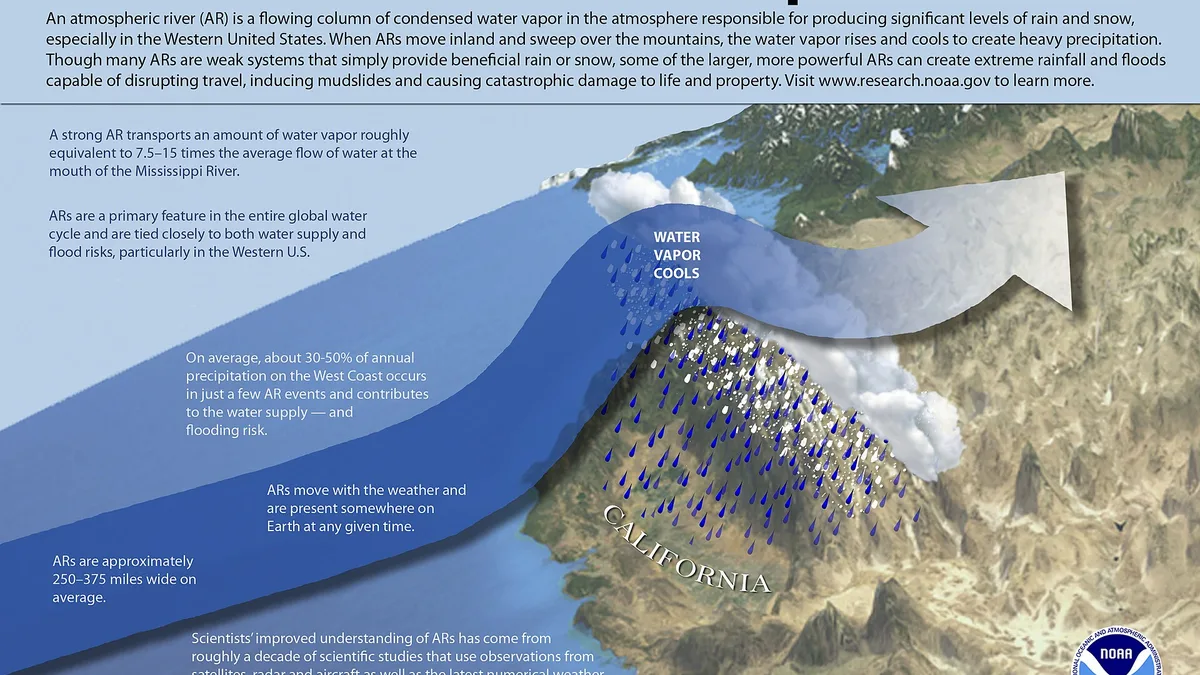
Long narrow corridor of concentrated... · Synoptic-scale weather feature

A long, narrow corridor of concentrated... · Extreme precipitation, often leading to...
No. Wind and Warning explains weather systems and the warnings they trigger rather than predicting anything, so there is no outlook for your postcode here. For an actual forecast, use the national meteorological service. Understanding forecasts exists to help you read theirs, not to replace it.
Warnings follows what has been issued and why, Systems explains the mechanisms behind it, Seasons covers the recurring patterns of the UK year, and Regions groups reporting by where it landed. Understanding forecasts deals with the language of probability and warning levels.
From the meteorological services, named news outlets and published research, summarised with the source credited and linked. A warning level or a recorded figure belongs to the body that issued it, and the piece names that body.
Act on the official warning, not on a summary of it. Any piece about a live event is reporting that ages quickly, and the linked source is the current authority. Where advice appears in a piece, it is the advice a named agency gave.
There is no personal byline. Pieces are written with automated assistance from the source material and credit the source publication in an author's place, which the Sources and methods page describes. No forecaster is presented as being on the staff.
No. No cookies, no analytics, no advertising and nothing loaded from another host. Only your light or dark preference is stored, and it never leaves your browser.