Historic El Niño Reshapes U.S. Winter Weather Outlook
A potentially record-strong El Niño, fueled by a warm Pacific water patch, is driving NOAA's forecast for a wetter winter in the South and milder conditions in the North, with widespread climate impacts.
A patch of warm Pacific water thousands of miles from any American town is the dominant force behind this winter's U.S. weather forecast. The National Oceanic and Atmospheric Administration expects a wetter winter across the South and milder conditions in the North due to this distant warm water, which could become the strongest El Niño event in more than 70 years.
This year's El Niño has been building since early 2026 and has intensified to 'super' conditions. As of November 12, sea surface temperature anomalies in the key Pacific region topped 4 degrees Fahrenheit above normal. NOAA's Climate Prediction Center placed the chance of a 'historic' El Niño, stronger than any recorded since 1950, at 83% for the October to December period. Forecasters expect the phenomenon to peak around now, in late fall and early winter.
Winter weather outlook and regional impacts
NOAA's official seasonal outlook for December 2026 through February 2027 favours specific patterns. Wetter-than-average conditions are expected across the Southwest, the South, the East Coast, and especially Florida and the far Southeast. Warmer-than-average temperatures are favoured across much of the northern U.S., including the Pacific Northwest, the northern Rockies, the Midwest, much of the East, and Alaska.
Drought is expected to ease or end across parts of the Southwest, southern Plains, and Southeast. Northern states may experience more freezing rain and slush instead of steady snow, creating especially slippery road conditions. NOAA emphasized that seasonal outlooks describe which way the odds lean over three months, not specific daily predictions. A milder winter can still include fierce cold snaps, and a wetter winter can include long dry stretches.
Global climate connections and extremes
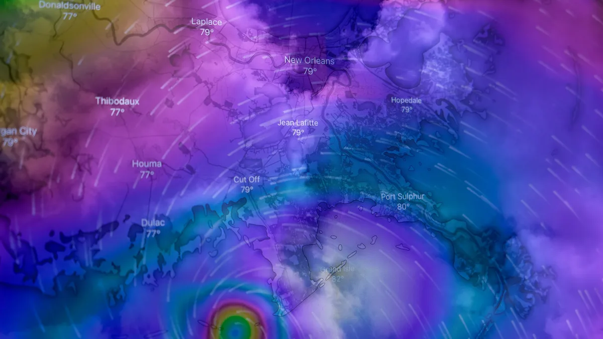
The warm Pacific waters create ideal fuel for tropical storms. This year, the Pacific season showed record intensity due to El Niño, while the Atlantic basin had record-low tropical storm and hurricane activity. In the Western Pacific, 32 typhoons have been tracked in 2026 so far, with some becoming 'super typhoons.'
| System | Activity in 2026 |
|---|---|
| Western Pacific Typhoons | 32 tracked so far |
| Eastern Pacific Tropical Systems | 21 named systems |
| Super Typhoon Sinlaku (April) | 185 mph sustained winds |
| Super Typhoon Champi (October) | 185 mph sustained winds |
Some Pacific systems brought large waves that eroded U.S. West Coast beaches. Hawaii experienced five named tropical systems, which brought heavy rainfall, strong winds, and flash flooding. Scientists link the current intense conditions to this year's record global heat and note that El Niño events are becoming stronger and longer over time.
Preparation and risk considerations
Residents across the southern U.S. are advised to prepare for heavier rain by clearing gutters and storm drains. Checking flood insurance is critical, as policies often take 30 days to come into effect. People in northern states should keep a winter kit in their car and not assume a mild forecast means they won't need it. The influence of a disrupted polar vortex, which occurred earlier than ever recorded in early November, could still send Arctic air south in December or January, interrupting El Niño's mild influence.
Historical precedent shows outcomes can vary. In the very strong El Niño of 2015 to 2016, Southern California expected a soaking but ended the season well short of normal rainfall, while storms hit the Pacific Northwest instead. The agency advises that wherever you live, following local forecasts through the season provides a clearer picture as individual storms take shape.