UK Storms End Record Wet Week, High Pressure Brings Dry Spell
Storms Austen and Bóelo delivered England's wettest week in two years, but high pressure now promises up to 10 dry days, straining water supplies and delaying drought recovery.
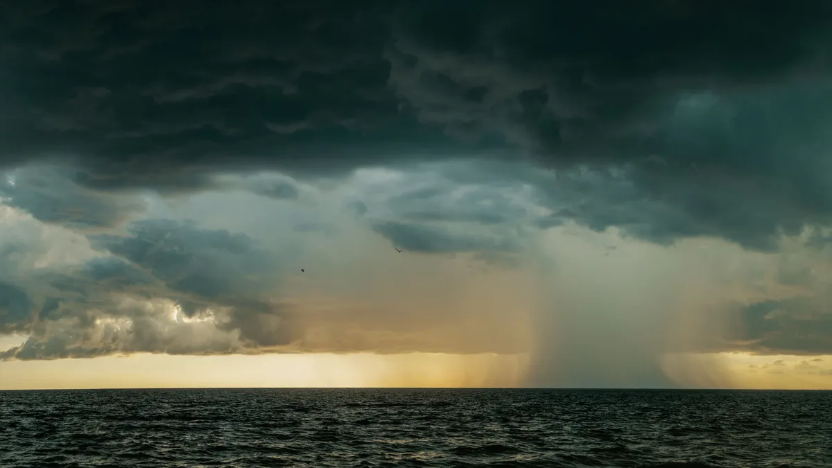
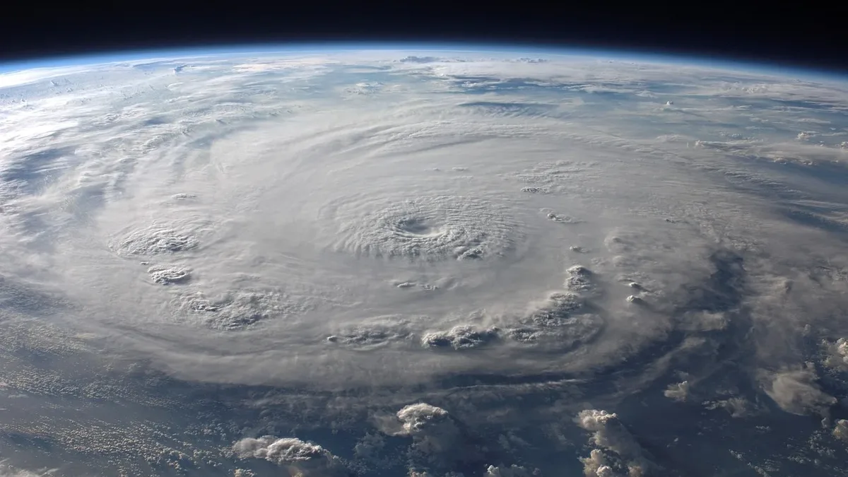
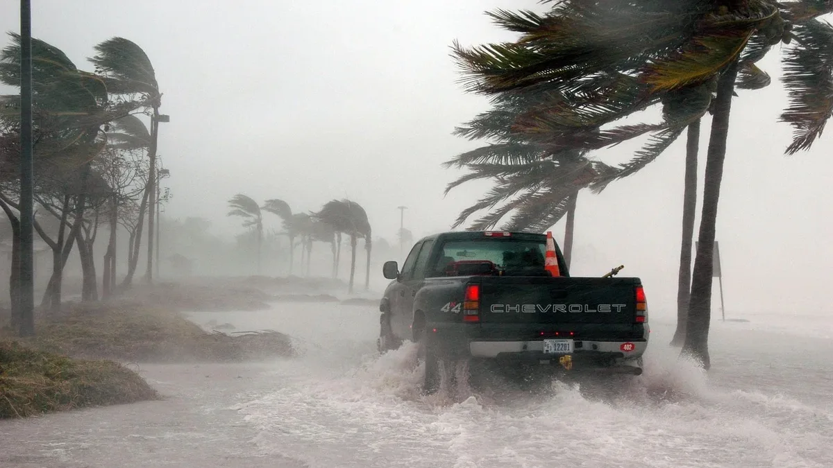
The UK could see up to ten consecutive days without rain after an unsettled end to October featuring back-to-back storms. England experienced its wettest week in two years due to Storms Austen and Bóelo, with rainfall totals ranging from 38mm in central regions to 87mm in the south-west.
Over the last week, the first two named storms of the season gave much of the UK significant and much needed rain. Bóelo was particularly notable for the sheer volume it brought. According to the Environment Agency, "England experienced its wettest week in two years thanks to Storms Austen and Bóelo." As a whole, England has had 111% of its long-term monthly rainfall, with some parts of the south seeing nearly 50% more than normal for October.
High pressure brings prolonged dry spell
High pressure will remain over or near the UK for at least ten days, bringing settled and dry conditions with little rain. The current dry spell is expected to continue into early November with little prospect of significant rainfall. Temperatures are expected to gradually edge lower over the coming days, bringing a cooler feel, especially at night and early morning.
Mist and fog will remain a persistent feature with slow-clearing dense patches expected during mornings. Some areas of low cloud may linger after fog lifts, with brighter spells developing. It may not be completely dry, however, as this mist and low cloud could bring some drizzle at times. The Western Isles of Scotland may experience a few spells of rain on Saturday evening despite largely dry conditions elsewhere.
Drought persists despite recent rain
Despite the record rainfall, drought conditions persist across Wales and most of England, with parts of southern England in severe drought. The hot and dry summer took a severe toll on water supplies when England saw only 10% of its average July rainfall. Hosepipe bans announced for millions of customers remain in place.
Reservoir levels are critically low. The Environment Agency classifies 11 reservoirs as 'exceptionally low', with two key sites at particularly alarming levels:
| Reservoir | Location | Capacity Status |
|---|---|---|
| Wimbleball | Somerset | Less than 20% of normal |
| Ardingly | West Sussex | Less than 20% of normal |
Philip Duffy, Chief Executive of the Environment Agency, has stated that sustained rainfall is needed to recover. The Agency says England will need at least 20% more rainfall than average over the next six months to be considered out of drought by spring. Anything less risks the drought continuing into next year, with Devon, Cornwall and East Anglia most at risk. Another dry spell will inevitably put more strain on water supplies.
El Niño intensifies wet weather outlook
The intensifying El Niño event in the Pacific Ocean is linked to wetter and stormier UK weather in late autumn and early winter. Signs indicate the dominant high pressure could loosen its hold around mid-November, allowing Atlantic low-pressure systems to approach. Wetter and windier weather is likely for the UK if this happens, with most areas probably seeing average or above-average rainfall.
For now, high pressure shows little sign of moving away. There is no significant rain in the forecast for at least the next week, perhaps longer.