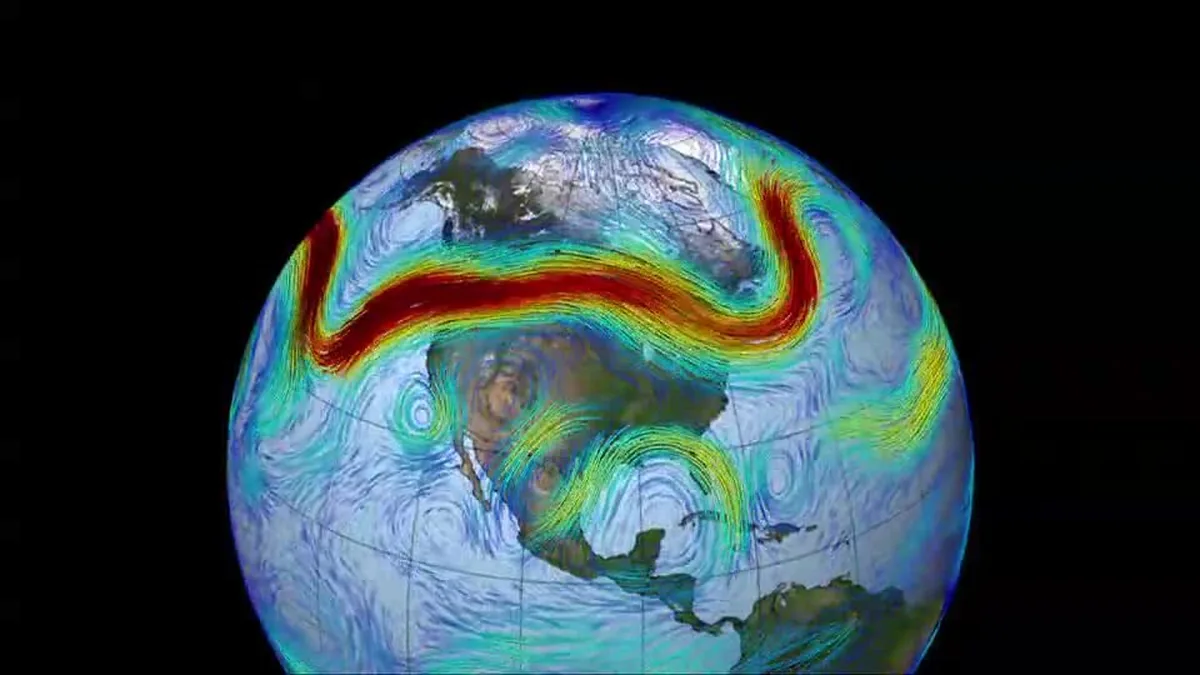
The Atlantic Jet Stream
| Name | The Atlantic Jet Stream |
|---|---|
| Type | Atmospheric phenomenon |
| First documented | Early 20th century |
| Location | Mid-latitudes of the North Atlantic Ocean |
| Altitude | 9 to 16 kilometers |
| Flow direction | Generally west to east |
| Associated weather | Drives mid-latitude storm systems |
Origin and history
The Atlantic Jet Stream is a major atmospheric feature whose existence was first documented through systematic weather observation in the early 20th century. Its presence was inferred by pioneering meteorologists studying the movement of weather systems and volcanic ash across the North Atlantic. The term "jet stream" itself was coined by American meteorologist Carl-Gustaf Rossby and his colleagues in the mid-20th century, based on data from newly established weather balloon networks. Its consistent identification and mapping became possible with the advent of routine upper-air observations following World War II. The concept solidified as a cornerstone of modern meteorology during the 1950s and 1960s. Its historical understanding is rooted in the work of global scientific communities, primarily in Europe and North America, analyzing transatlantic flight patterns and storm tracks.
What it is for
The Atlantic Jet Stream serves as a primary steering mechanism for weather systems moving across the North Atlantic Ocean and into adjacent continents. It regulates the transfer of heat and momentum from the tropics toward the poles, playing a fundamental role in Earth's climate equilibrium. For aviation, it provides a powerful tailwind for eastbound flights, significantly reducing travel time and fuel consumption on routes from North America to Europe. Conversely, it acts as a headwind for westbound flights, which must often route around its strongest cores. It also acts as a conveyor belt for moisture and energy, directly influencing the development, path, and intensity of mid-latitude cyclones. Its position and strength are critical diagnostic tools for meteorologists issuing medium-range weather forecasts and severe weather warnings.
Overview
The Atlantic Jet Stream is a fast-flowing, narrow air current located in the upper levels of the troposphere, typically between 9 and 12 kilometers in altitude. It is characterized by wind speeds that commonly exceed 100 knots, with its core featuring the most intense velocities. This river of air meanders in large north-south waves known as Rossby waves, which define its overall path. Its latitude varies seasonally, generally positioned farther south in winter and shifting poleward in summer. The jet stream forms along the steep temperature gradient known as the polar front, separating cold polar air masses from warmer subtropical air. Its behavior is a key driver of weather variability and persistence patterns across Western Europe, Eastern North America, and the Atlantic itself.
What to know
The jet stream's path is not static; its meanders, called troughs and ridges, evolve continuously and can become "blocked," leading to prolonged periods of stable or unstable weather. A more meridional, or wavy, pattern often leads to extreme weather events, such as heatwaves, cold snaps, and flooding rains, depending on the location relative to the waves. Its strength is measured as wind speed at the core and is influenced by the temperature contrast between the equator and the pole, which can vary with seasons and broader climate patterns. The polar jet stream is distinct from the subtropical jet stream, though they can occasionally merge. Citizens should understand that a forecast mentioning an "active jet stream" typically implies a rapid succession of storm systems and potentially severe weather. Its behavior is a major focus of climate change research, as a warming Arctic may be altering its typical patterns.
Common questions
People often ask if climate change is making the jet stream weaker and wavier, a topic of active scientific research with evidence suggesting increased frequency of certain extreme patterns. A frequent question is whether the jet stream is a single continuous ribbon; it is actually a band of maximum winds that can split, merge, and have breaks along its length. Many wonder how it directly affects surface weather, which occurs through its influence on surface cyclone development and its role in advecting air masses. A common query is about flight times, specifically why flights from Europe to North America are often longer than the return trip, which is due to flying against the prevailing westerly winds of the jet. People also ask if it is safe to fly through it, which it is, though pilots navigate to find optimal wind conditions for efficiency and passenger comfort. Another question concerns its visibility, as it is not directly seen but its cloud formations, like cirrus bands, can sometimes trace its location.
Pros and cons
A significant pro of the Atlantic Jet Stream is its crucial role in moderating the climate of Western Europe by transporting warm air and moisture northeastward. It provides immense economic and environmental benefits to aviation through fuel and time savings on eastbound transatlantic routes. However, a major con is its capacity to steer severe weather systems, including damaging windstorms and heavy precipitation events, directly into populated regions, triggering official warnings. A common mistake is assuming a strong, straight jet stream always brings stormy weather, whereas a highly amplified, blocked pattern can cause just as much disruption through persistent extremes. Those who regret its influence often include residents experiencing prolonged cold spells or droughts when the jet stream settles into a particular configuration, locking in undesirable weather. Its variability and indirect influence make public communication about associated risks challenging, sometimes leading to a perception that forecasts were inaccurate.
Who it suits
The Atlantic Jet Stream suits the operational needs of meteorologists and climate scientists who require a fundamental framework for analyzing and predicting large-scale atmospheric behavior. It is essential for airline route planners and pilots who optimize flight paths for safety, efficiency, and passenger comfort based on its analyzed and forecast position. It suits the climate of regions like the British Isles and coastal Norway, where a relatively mild climate for their latitude depends on its heat transport. The jet stream does not suit agricultural or water resource management plans that rely on stable, predictable seasonal weather, as its shifts can cause droughts or excessive rainfall. It generally suits winter sports industries in regions where it delivers consistent snowfall, but it can be detrimental to those same industries if it brings unseasonable warmth. Ultimately, it is a natural feature that suits the planet's need for heat redistribution, irrespective of human convenience.
Latest The Atlantic Jet Stream news
Latest reporting
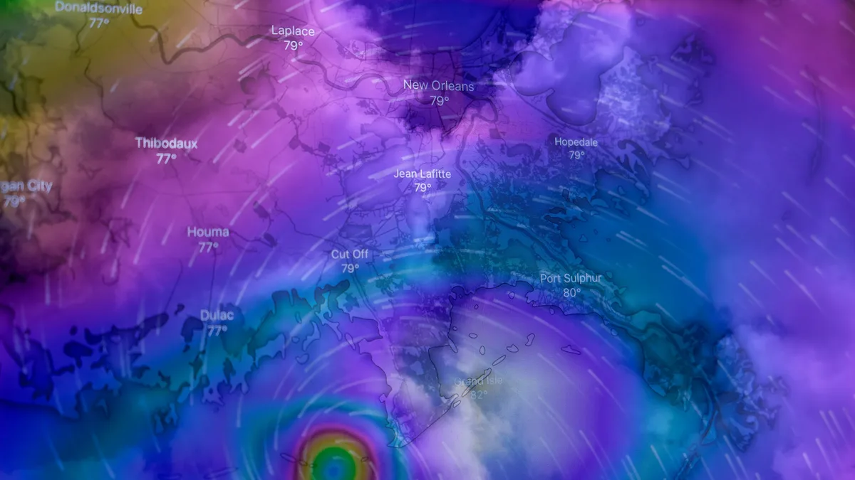
Subtropical Storm Josephine Forms as 10th Atlantic System
Subtropical Storm Josephine has become the 10th named storm of the 2026 Atlantic season, with 65 mph winds. It is forecast to intensify to hurricane...
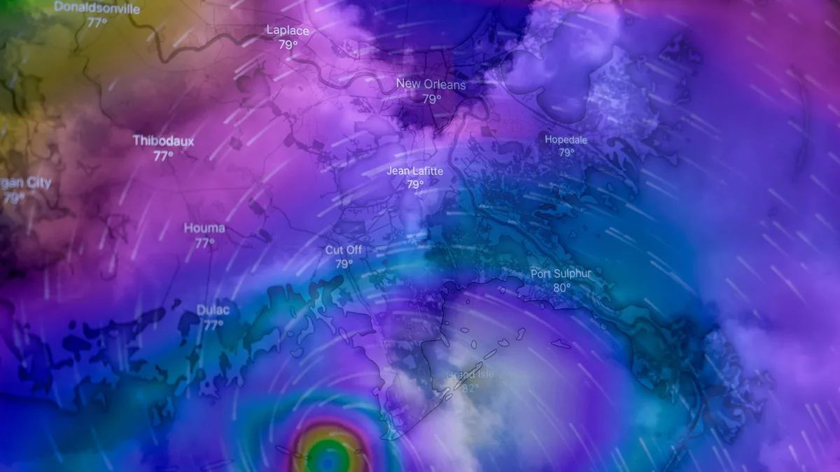
Tropical Storm Isaias to become first hurricane of 2026
Tropical Storm Isaias is forecast to become the Atlantic's first hurricane of 2026, threatening Gulf Coast landfall as a Category 1 or 2 storm by...

Atlantic hurricane season on track to be first without a hurricane
The 2026 Atlantic hurricane season is on track to be the first in the satellite era without a single hurricane.
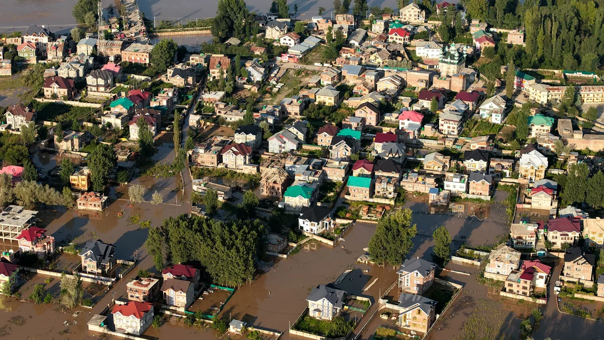
September 2026 Nor'easter Triggers Coastal Flood and Wind Warnings
A long-duration nor'easter is bringing high winds, heavy rain, and significant coastal flooding to the Northeast and Mid-Atlantic.
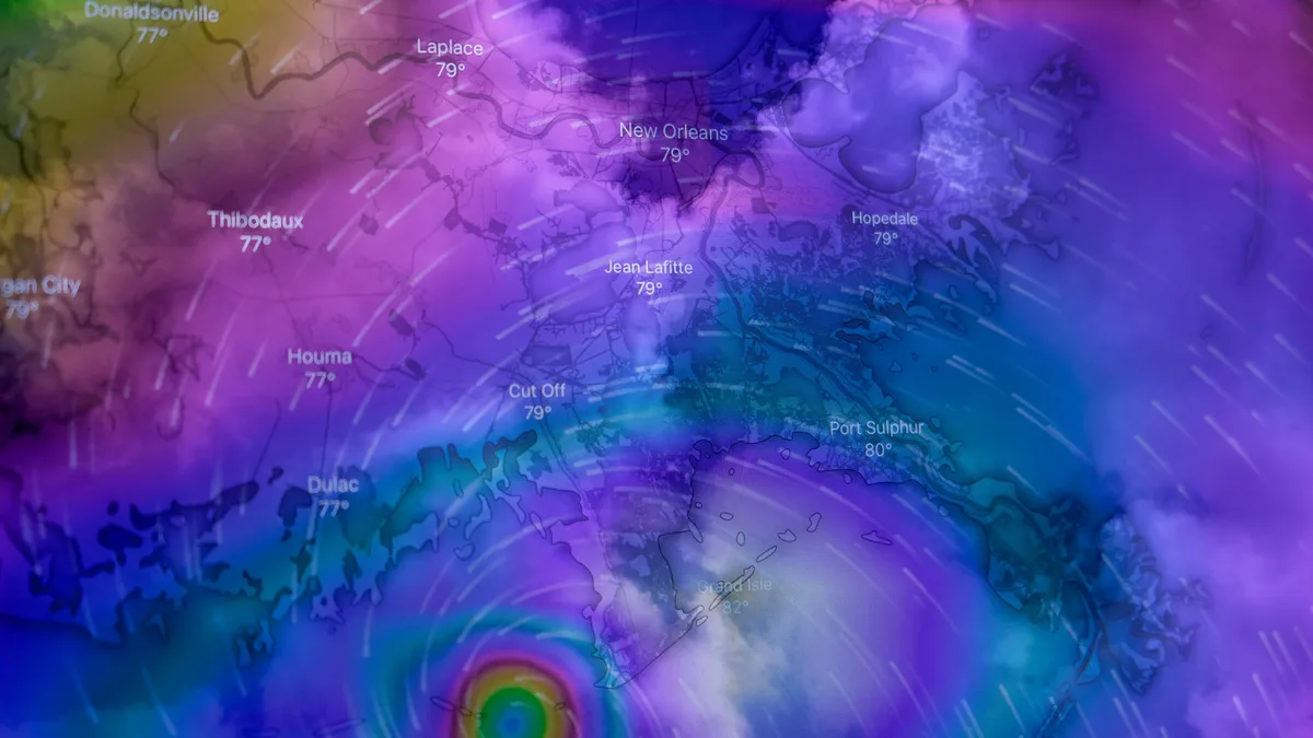
Atlantic Hurricane Season Sets Record for Latest First Storm
Tropical Storm Fay formed near the Azores on September 20, 2026, but the Atlantic basin remains without a hurricane.
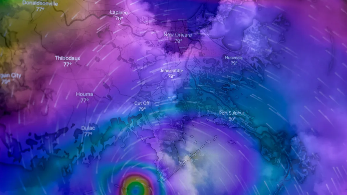
Climate Change Raises Hurricane Risks in Multiple Ways
A new analysis outlines ten potential ways climate change could worsen Atlantic hurricane impacts, from stronger winds and heavier rain to longer...