Hurricane Polo threatens Baja California Sur with flooding
Hurricane Polo, a major Category 3 storm, is approaching Baja California Sur with 115 mph winds, bringing life-threatening flooding risks.

Hurricane Polo was centered roughly 85 miles west-southwest of Cabo San Lazaro at 11 a.m. MST Monday, moving northeast at 10 mph with maximum sustained winds near 115 mph. The storm was at the lower end of Category 3 intensity and was expected to remain near major-hurricane strength as it reached Baja California Sur late Monday. The National Hurricane Center warned of life-threatening hurricane-force winds and flash flooding for portions of Baja California Sur and later Sonora.
Life-threatening flooding and mudslides expected in Baja California Sur
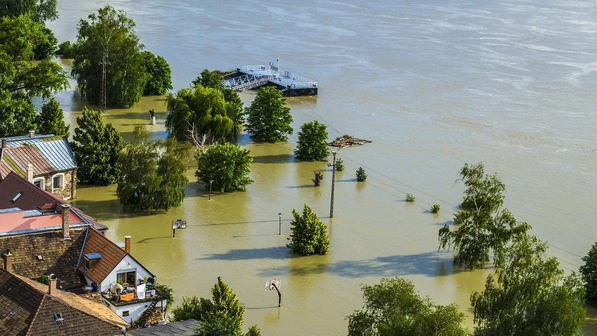
Forecasters said Polo would lash Baja California Sur with heavy rains, potentially causing life-threatening flooding and mudslides. The storm's winds will gradually decrease over the Sierra Madre Occidental mountains, but orographic enhancement from upslope winds could locally increase rainfall considerably. Flooding from Polo has already been blamed for two deaths in Mexico, with one person missing.
One of the towns in Polo’s projected path is San Juanico, a small fishing community on Baja’s Pacific coast. The town has only had full-time electricity for a few years and still experiences frequent outages. There is concern that washed-out roads could block access to medical facilities there. Gloriely Robles Meza, a manager at a small hotel, said people are concerned about the event and they haven’t faced such a worrying situation in many years. She added that army soldiers arrived in San Juanico to prepare a shelter and provide support for possible emergencies.
Polo threatens U.S. Southwest with heavy rain later in the week
Hurricane Polo could bring heavy rain and flooding to parts of the U.S. Southwest later in the week. Moisture from Polo and former Hurricane Odalys will be propelled by southwest flow ahead of an upper-level trough to fuel torrential rains in the Southwest U.S. Deserts and mountains. Heavy rains were also likely to develop over the Southern and Central Plains later in the week from Gulf of Mexico moisture. The NOAA/NWS Weather Prediction Center has issued moderate-risk areas for excessive rains leading to flooding for Monday through Thursday.
Hawaii under high-surf warnings as Tropical Storm Rachel forms offshore
A high-wind warning, wind advisory, and high surf advisory remained in effect for parts of the Hawaiian Islands through Sunday evening. Also Sunday, Tropical Storm Rachel formed well off Mexico's southwest coast. No coastal watches or warnings were in effect for Rachel, which was intensifying along a path similar to Polo’s.
Hawaii still recovering from past storm damage as Nolo moves away
Hawaii residents are still recovering from Hurricane Lala, which produced heavy rain and winds strong enough to sweep about 100 homes off their foundations on the Big Island. Meanwhile, Hurricane Nolo, a powerful Category 4 storm, was moving away from the islands. Forecasters had said Nolo’s outer bands could cause life-threatening flooding and mudslides, with parts of the Big Island possibly getting up to 20 inches of rain. Heavy rain was also expected on the other Hawaiian islands.
Michael Lowry pointed out that the patterns evident all season have only intensified as we move well past the midpoint of the Northern Hemisphere’s hurricane season. Polo was expected to cross the Gulf of California overnight and approach mainland northwestern Mexico early Tuesday, perhaps still at hurricane strength.