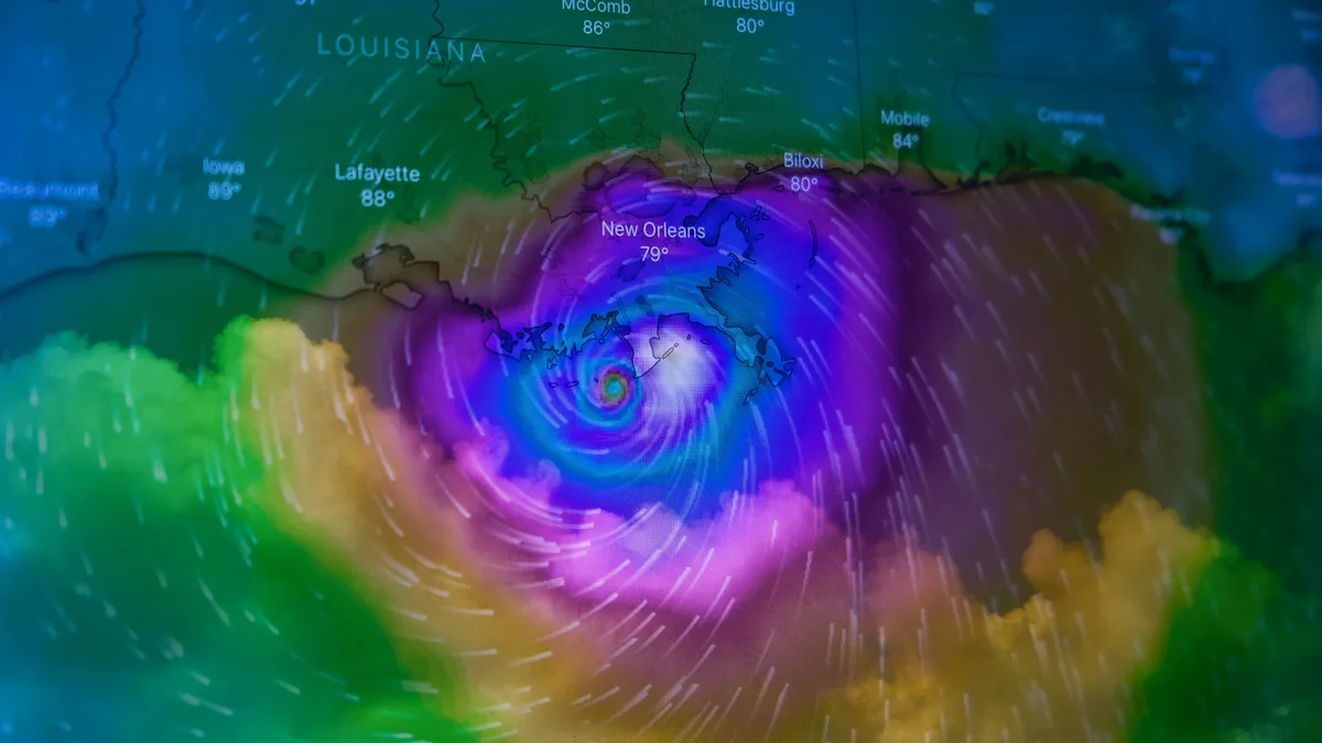
Hurricane Polo remnants bring rain to Arizona, New Mexico
Hurricane Polo made two landfalls in Mexico before its remnants were drawn into the U.S. Southwest and Plains, delivering widespread rain that could ease a severe drought.
Hurricane Polo made two landfalls in Mexico, first as a strong Category 2 storm on Baja California Sur and then as a minimal hurricane on the mainland near Guaymas. Its remnants are now triggering a multi-day deluge across the U.S. Southwest and Great Plains, offering potential relief from a severely dry water year.
Hurricane Polo struck the coast of Mexico's Baja California Sur just south of Las Barrancas on Monday night. It made landfall at around 11 p.m. MST as a high-end Category 2 hurricane with sustained winds of 110 mph. The storm's central pressure was 965 mb. Satellite imagery showed the hurricane becoming disheveled before landfall due to dry air, increasing wind shear, and rugged terrain. Polo produced gusts of up to 125 mph. Mexico's National Weather Service reported waves 7-9 meters high. The landfall area is less populated than the Los Cabos resort corridor.
Authorities expected life-threatening hurricane conditions to persist across Baja California Sur for several hours. Residents stocked up on supplies and business owners boarded up doors and windows. Both Mexican authorities and the U.S. National Hurricane Center urged people to stay indoors. The storm reemerged over the unusually warm Gulf of California but its structure was too compromised to strengthen. Polo made a second landfall just east of Guaymas on Tuesday morning with winds of 75 mph. This ended its journey as a hurricane. By late Tuesday, Polo was predicted to be a depression approaching far west Texas and southern New Mexico.
The US National Hurricane Center projected rainfall of 6-12 inches across Baja California Sur, with a risk of life-threatening flooding and mudslides. Weather conditions were forecast to worsen in the southern part of the mainland state of Sonora.
Remnants to trigger widespread rain across southern U.S.
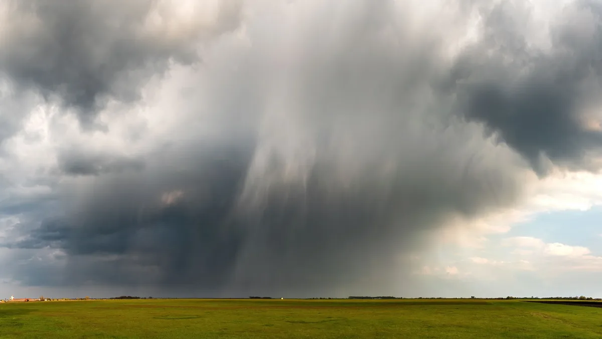
Polo's large expanse of moisture is being hauled into the U.S. Southwest and Great Plains. An upper-level low is steering it northeastward, combining with moisture from ex-Hurricane Odalys and increasing inflow from the Gulf of Mexico. The National Weather Service predicts 2-5 inches of rain from Arizona and New Mexico northeastward along the remnants' path.
Additional heavy rains of 3-7 inches are predicted over much of Texas into Oklahoma from the associated Gulf flow. Southern New Mexico is a particular area of concern for flooding after multiple flash-flood events in recent weeks. The National Weather Service placed most of southern New Mexico and adjoining areas in a 'Moderate' risk area for excessive rain on Tuesday.
Rain could ease drought but outcomes remain uncertain
The widespread rainfall may come in the nick of time to help salvage what's been a grim water year for some folks. The water year runs from October 1 to September 30. The severity is highlighted in Boulder, Colorado, a weather-and-climate research hub. Its water-year total through Monday was 10.65 inches. That is only about half of the long-term average and the lowest in 36 years of recordkeeping at the current site. Almost 2 inches of rain would need to fall by Wednesday evening to put this water year ahead of the 2001-02 total of 12.42 inches. Leading models disagree on whether Boulder will get scant amounts while southeast Colorado gets deluged.
Across portions of 33 contiguous U.S. States, over eight inches of rain is needed in just one month to alleviate long-term drought. The situation is particularly dire in Texas and Oklahoma.
| State | Inches of Rain Needed to Alleviate Drought |
|---|---|
| Texas | 9-19 inches |
| Oklahoma | 9-23 inches |
If the predicted 2026-27 El Niño is true to form, the odds will be high for above-average precipitation later this fall and winter across the southern tier of states.
No immediate tropical threats elsewhere
While other systems were active on Tuesday, none posed direct landfall threats through the week. Weak Tropical Storm Hanna and Tropical Depression Fay were in the Atlantic. Hurricane Nolo and Tropical Storm Rachel were in the Pacific. The widespread rainfall may come in the nick of time to help salvage what's been a grim water year for some folks.