El Niño hits record strength with uncertain UK winter impact
The ongoing El Niño event is among the strongest ever recorded and is still growing. While it can disrupt the polar vortex and increase UK snow chances late in winter, forecasts currently suggest milder, wetter conditions are more likely for the coming months.
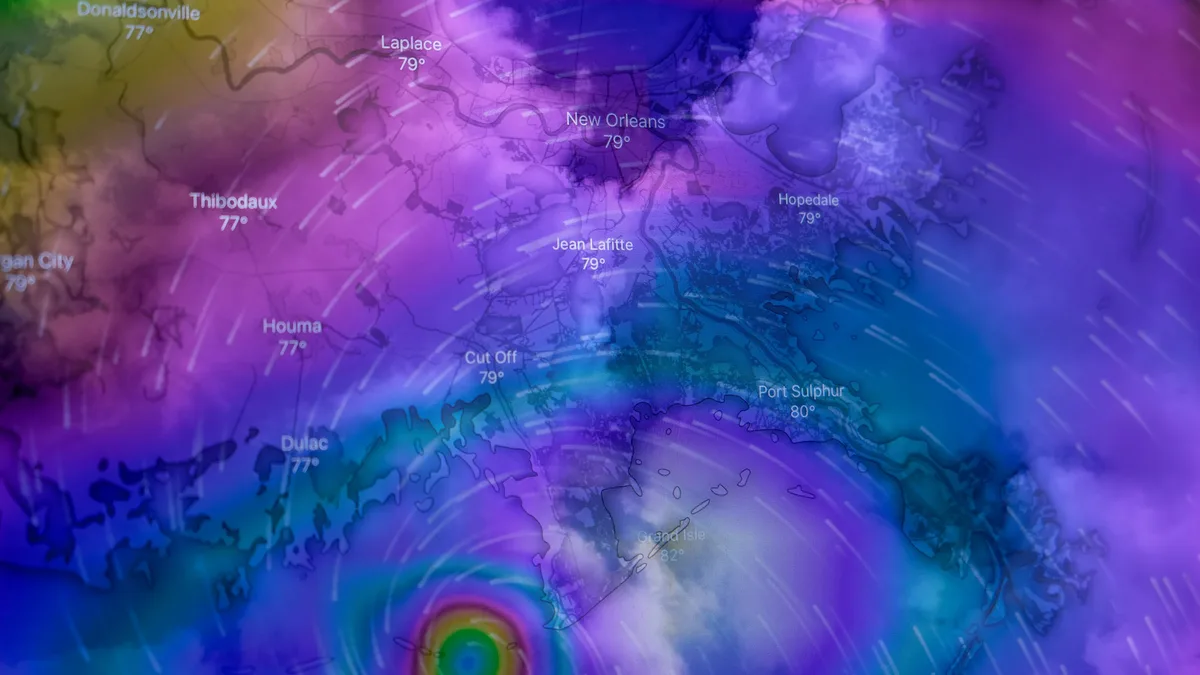
El Niño is continuing to grow and by some measures is already the strongest on record. This climate phenomenon, which occurs when sea-surface temperatures across the central and eastern equatorial Pacific become significantly warmer than average, has already surpassed the highest temperatures recorded during any previous event. Professor Adam Scaife, Head of Long Range Prediction at the Met Office, described the developing El Niño as an 'unprecedented event'. He stated it has already exceeded previous records with several weeks to go before it peaks later this year. The event could be the strongest in living memory and is not expected to peak until late autumn or early winter.
How El Niño influences global weather
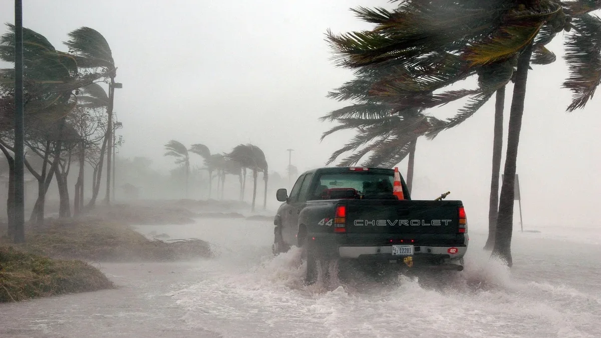
The heat released from the warm Pacific Ocean into the atmosphere impacts weather patterns around the globe. El Niño affects atmospheric circulation patterns, influencing rainfall, temperature, and storm tracks worldwide. These impacts can influence agriculture, water resources, ecosystems, and energy demand. The extra warming from El Niño also increases the likelihood of extreme weather impacts such as wildfires and floods. Different regions experience specific risks:
In Europe, El Niño’s weather impacts are indirect and less severe than in other parts of the world.
The polar vortex and its role in UK weather
The polar vortex is a ring of strong westerly winds encircling the North Pole every winter. It exists around 10-30 miles (16-48km) above the Earth's surface in the stratosphere. It forms because air high above the Pole becomes extremely cold and dense in winter. The contrast with warmer air further south drives these strong stratospheric winds. A strong polar vortex encourages a strong polar jet stream in the troposphere where weather happens. This drives low-pressure systems from west to east, bringing mild Atlantic air, wind, and rain to the UK. The coldest air is locked away to the north.
Sometimes the polar vortex can wobble, weaken, or reverse direction. Over days and weeks, this can influence the jet stream, causing it to weaken or become more bendy. This can deliver colder northerly or easterly winds to the UK, bringing cold winter weather. A weaker stratospheric polar vortex increases the likelihood of a Sudden Stratospheric Warming (SSW) event, where temperatures rapidly increase up to about 50°C in just a couple of days in the stratosphere. As cold air from the stratosphere disperses, it can affect the jet stream. During an SSW, which typically forms over the North Atlantic and Scandinavia, northern Europe including the UK is likely to get a long spell of dry, cold weather. On the boundary, cold easterly winds develop and temperature drops can lead to snow. However, polar vortex changes do not always translate into surface weather changes, and periods of cold winter weather can occur without significant polar vortex changes.
The uncertain link between El Niño, polar vortex disruption and UK snow
The links between El Niño, polar vortex disruption, and UK snowfall are unclear and the evidence is mixed. In autumn, El Niño increases the chance of wet and stormy weather in the UK. In late winter, El Niño can release waves of energy that move upwards through the atmosphere. This can make it more likely that the polar vortex becomes disrupted, which in turn increases the chance of ice and snow in the UK. Historical examples show this connection is not guaranteed. The Big Freeze of 2009/2010 was the coldest winter in three decades and coincided with an El Niño. Yet the winter of 2006/2007 was also an El Niño winter but was unseasonably warm. Also, the Beast from the East in 2018 occurred during a La Niña year, the opposite of El Niño.
Grahame Madge, a Met Office climate spokesperson, told Euronews Earth that while there is a known teleconnection between El Niño and a colder end to the UK winter, this outcome is not guaranteed. He stated that many other drivers influence UK winter weather and the balance determines the forecast rather than any single factor. Multiple newspapers have warned of a 'deep freeze' hitting Europe due to El Niño weakening the polar vortex. In contrast, current forecasts suggest no significant cold or snow is likely in the UK in the near future.
What forecasters are saying now
Winter weather in the UK and mainland Europe is influenced by human-caused climate change. A 2025 study from Newcastle University found fossil fuel burning is accelerating winter rainfall changes in the UK and Europe almost 25 years sooner than expected. Looking further ahead, 2027 could become the hottest year on record. Between June 2026 and February 2027, experts estimate extreme heat from El Niño could contribute to 451,000 additional deaths. Meteorologists can only reliably forecast individual Sudden Stratospheric Warming events about a week ahead. The Met Office confirmed that El Niño can increase the likelihood of wetter, stormier, and generally milder conditions in the UK during late autumn and early winter.