Hurricane Polo threatens Mexico with torrential rain
Hurricane Polo, a powerful Category 4 storm, is threatening Mexico's west-central coast with torrential rainfall and high surf.

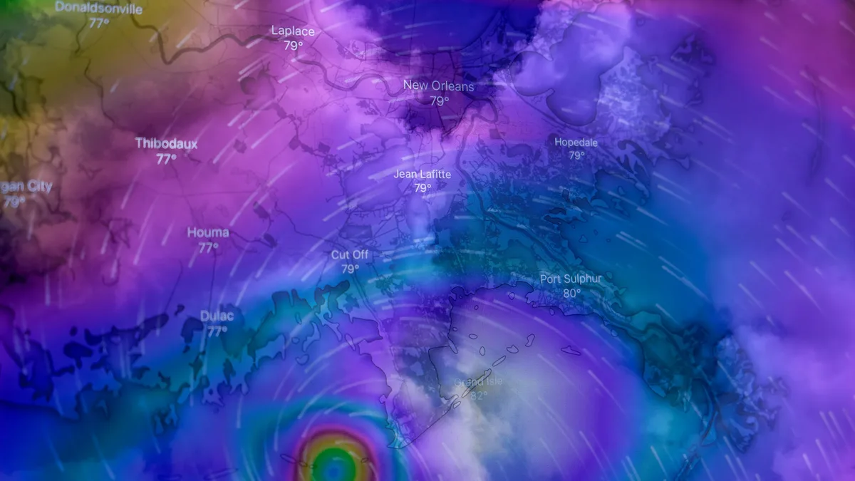
Hurricane Polo continues to churn in the northeast Pacific Ocean, posing a significant threat to Mexico's coastline. As of Wednesday morning, the storm was a strong Category 4 hurricane with maximum sustained winds of 150 mph, located about 165 miles south of Zihuatanejo.
Polo's most immediate danger is heavy rainfall. Tropical storm warnings are in effect from Lázaro Cárdenas to Punta San Telmo, with a watch extending to Playa Pérula in Jalisco. The storm's slow, meandering movement near the coast increases the risk of prolonged downpours.
Rapid intensification and record strength
Polo achieved Category 5 intensity with astonishing speed. It leaped from tropical storm strength early Monday to peak winds of 180 mph by Tuesday. According to meteorologist Phil Klotzbach, its minimum central pressure of 892 millibars is the second-lowest ever recorded in the eastern Pacific, trailing only Hurricane Patricia in 2015.
The storm's compact core allowed for this extreme rapid intensification. Polo is now expanding in size as it matures. Hurricane-force winds extend 40 miles from its center, with tropical-storm-force winds reaching out 105 miles.
Fueled by warm oceans
The snail's-pace movement makes Polo's maintained strength impressive. Slow-moving hurricanes typically churn up cooler water, which weakens them. In this case, exceptionally warm water extends to unusual depths.
This is due largely to the record-setting El Niño event intensifying in the eastern tropical Pacific, compounded by long-term human-caused warming. Data from Argo floating buoys showed ocean temperatures exceeding 30 degrees Celsius more than 60 meters below the surface where Polo intensified.
Forecast and impacts for Mexico
The storm's first pass near the coast is expected to keep the strongest winds offshore. However, coastal areas from Guerrero to Jalisco will experience rainbands capable of producing strong wind gusts and torrential rainfall. The region's steep terrain elevates the risk of landslides and mudslides.
General rainfall totals along the coast are forecast between two and four inches. Locations in Guerrero, where the storm has lingered parallel to the coast, could see four to six inches. Isolated areas may receive up to eight inches of rain. The National Hurricane Center's marine analysis estimated wave heights near Polo's center at around 46 feet on Wednesday morning.
Rainbands will persist through at least Thursday morning as the system remains roughly parallel to the coast. By Friday, rainfall should become more sparse as Polo begins moving away.
Long-range track toward Baja
Over the weekend, Polo is expected to gradually turn toward the northwest. It will move over slightly cooler waters and into a more hostile wind-shear environment, which should trigger steady weakening.
Most long-range forecast models suggest Polo will make landfall on the Baja California peninsula around Monday. A minority of tracks keep it offshore. The Google DeepMind ensemble was nearly unanimous on a Baja California landfall. By later next week, Polo's remnants could fuel localized heavy rains in northwest Mexico and parts of the southwestern United States.
As it tracks north, Polo will likely pass just west of the small island of Socorro, which has a permanent population of roughly 250 people.
2026's Category 5 storms
Polo is the planet's seventh Category 5 tropical cyclone of 2026. The other storms this year include:
| Storm | Peak Winds | Central Pressure | Date & Region | Notable Impacts |
|---|---|---|---|---|
| Hurricane Lowell | 160 mph | 927 mb | September 2, Central Pacific | Caused $500M-$1B in insured damages to Hawaii, primarily Kauai. |
| Super Typhoon Dolphin | 175 mph | Not specified | July 5, Northwest Pacific | Triggered evacuation of over 1 million in China; economic losses may reach tens of millions of USD. |
| Hurricane Genevieve | 160 mph | Not specified | July 27, Northeast Pacific | Remote system off Mexico's coast. |
| Super Typhoon Bavi | 180 mph | Not specified | July 5, Northwest Pacific | Annihilated Rota Island; caused 23 deaths in the Philippines from landslides. |
| Super Typhoon Sinlaku | 185 mph | Not specified | April 12, Northwest Pacific | Killed 17 in the U.S. Northern Mariana Islands at landfall. |