Super El Niño to drive wet, mild winter across southern and eastern U.S
A record-strong Super El Niño, peaking in late December 2026, is set to intensify the southern storm track, bringing above-normal precipitation and heightened flood risks to the southern and eastern United States this winter.
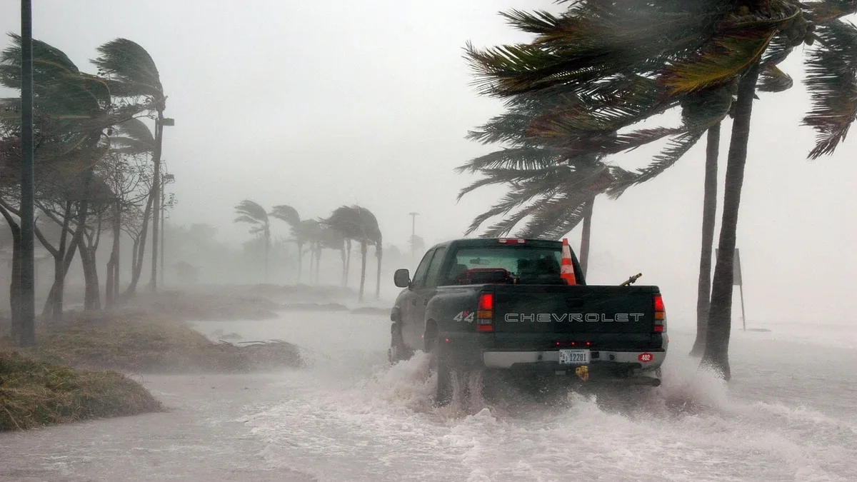
A Super El Niño event is forecast to peak in late December 2026, becoming the strongest in over 70 years. Its atmospheric effects are already reshaping North American weather patterns, setting the stage for a wetter and milder winter across the southern and eastern United States.
This growing climate phenomenon, active since spring, typically strengthens the southern storm track. This pattern increases precipitation from California across the Southwest, southern Plains, and into the Southeast. Northern Florida has the highest likelihood for wetter-than-normal conditions, while the broader southern Southeast will experience a milder and drier winter with above-normal temperatures. An elevated risk of severe weather, including possible tornadoes, is likely in Florida later in the season.
Temperature and precipitation patterns
Below-normal temperatures and above-normal snowfall are expected in the Southern Northeast. The Southeast will see above to much above average precipitation with near-average early winter temperatures that turn below-average later in the season. The Great Lakes region will experience a lower-than-average frequency of arctic cold air masses, less snow, and lower precipitation, leading to reduced heating demand.
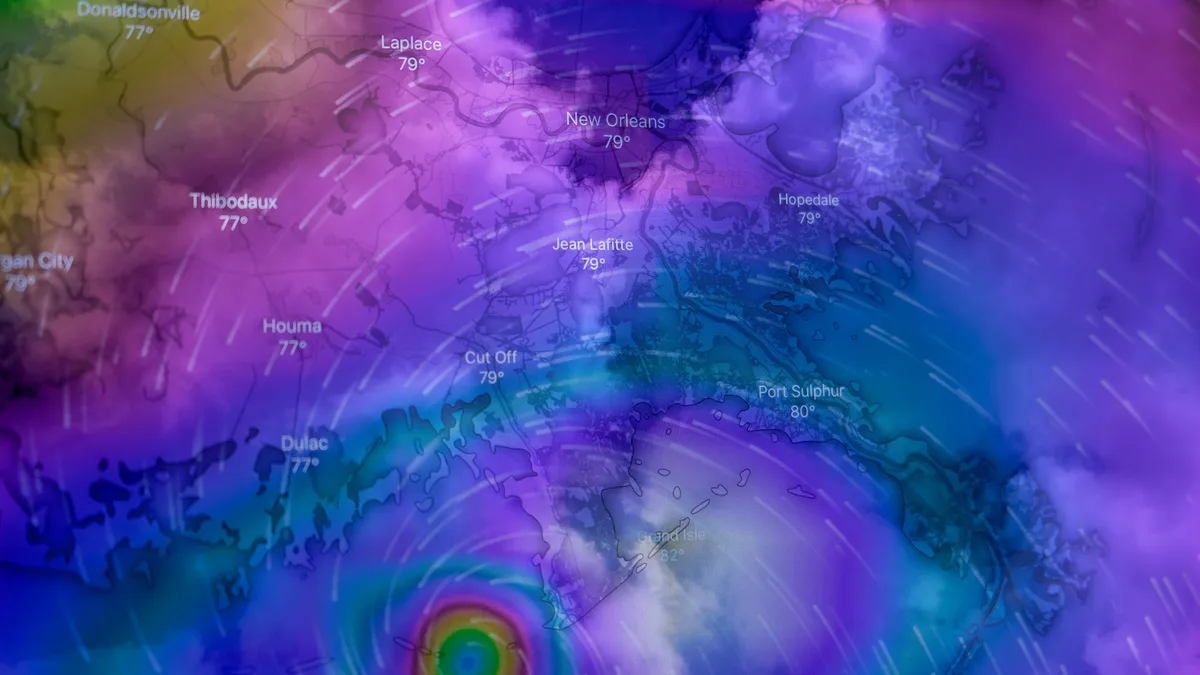
Regional forecasts for November 2026 show the early influence of this pattern.
Regional storm risks
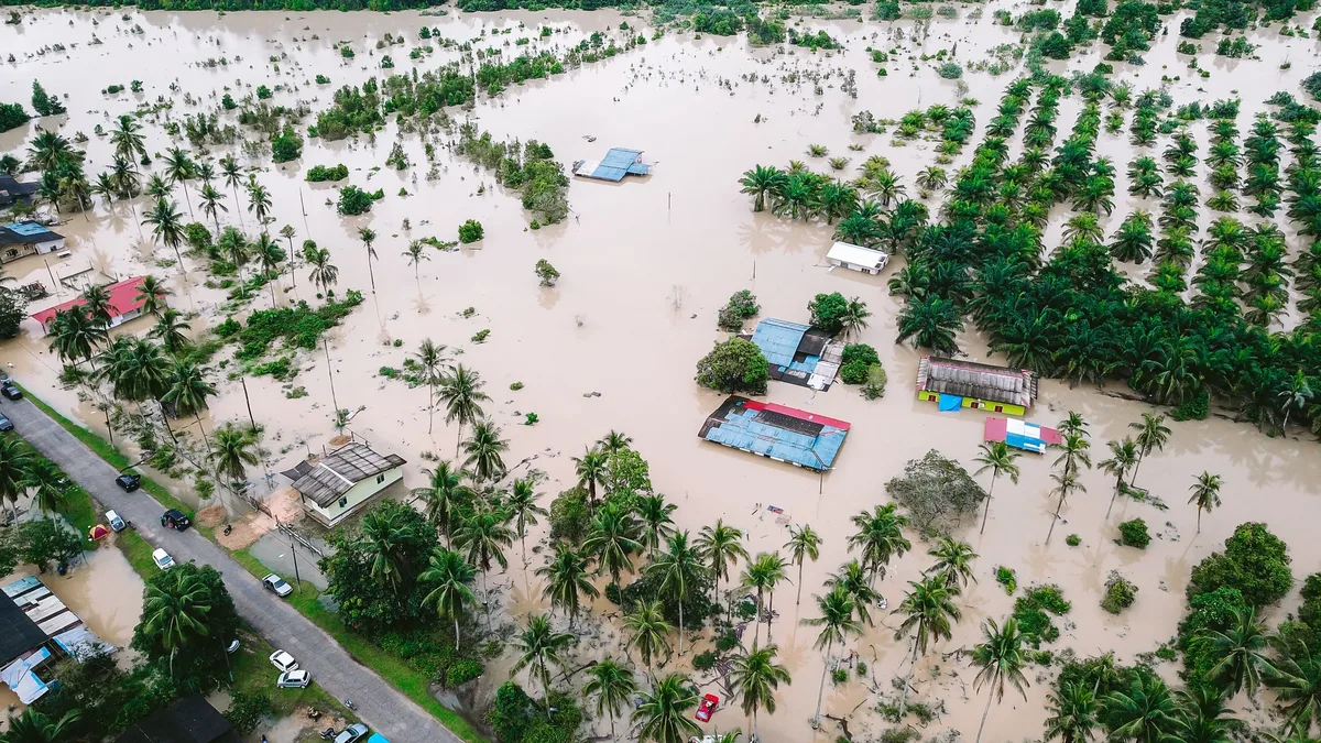
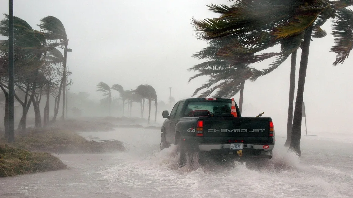
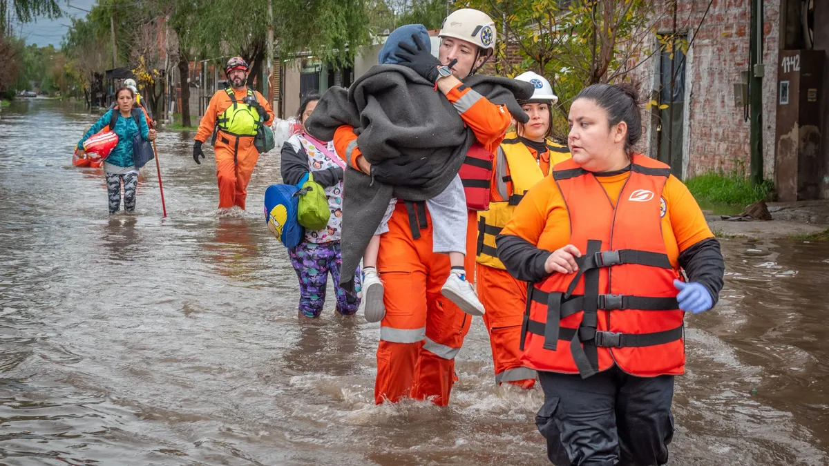
Heavy precipitation, flooding, and power outages are likely across the Mid-Atlantic and Southeast. The Mid-Atlantic region will run above average on precipitation with frequent cold fronts, mainly as rain early on. Mixing events may reduce snow amounts in Maryland and Virginia, but power outages from wind and these events are likely. Flooding is probable across Virginia and possibly Maryland and Delaware, with Nor'easters raising coastal flooding risks.
Snow or ice events are possible on the northern edges of storm tracks in northern Alabama, northwest Georgia, Tennessee, and southern Kentucky. Southern Arkansas, northern Mississippi, and possibly northern Louisiana may get one or two snow or ice events. From January to February, the Mid-Atlantic to Southeast region faces a moderate risk for power outages.
Flash flooding and severe thunderstorms are possible in the Southeast, with tornado potential from Georgia to the Carolinas. The Deep South, including Mississippi, Louisiana, and Arkansas, has a moderate to higher flooding risk, especially in southern and eastern areas. The heaviest rainfall in the Deep South is expected in December and February.
Influencing climate factors
Multiple climate factors are interacting with this Super El Niño, which has produced peak ocean temperature anomalies exceeding 8 degrees Celsius above normal. A strong rising air motion in the central and eastern Pacific and sinking motion in the Maritime area is creating an atmospheric bridge and standing wave. This contributes to a high-pressure zone over western Canada, the northern U.S., and the northeast, and a cold anomaly over the south-central United States due to a pressure drop.
Additional factors affecting winter outcomes include marine heat waves in the Pacific, the position of the Aleutian low, Canadian snowpack, and polar vortex behavior. A Stratospheric Warming event is disrupting the Polar Vortex. For the Northeast, AccuWeather expects heating demand to be much less than in previous years, with some surges in December and January. The northern mountains of New York State and New England may see near-average snowfall, with a risk period for snow in late January and February. Coastal flooding and beach erosion are risks in southern New England, Pennsylvania, and New Jersey due to wet winter storms. Stalled cool fronts and storms along fronts can cause excessive rainfall leading to flooding and basement concerns. The Deep South faces its highest flooding risks during the heaviest expected rainfall in December and February.