Super Typhoon Champi Hits Taiwan, Japan With 185mph Winds
Super Typhoon Champi, the strongest storm of 2026 with 185mph winds, caused one death and 527 injuries in Taiwan and Japan.

Super Typhoon Champi reached record strength with 185mph winds and extreme rainfall before affecting Taiwan and Japan. The storm, declared the strongest of the year so far, battered Taiwan and Japan’s southern islands from late Thursday to early Saturday, killing one person and injuring 527. It knocked out power for more than 288,000 households at its peak, though power had returned to 80% of homes by Saturday morning.
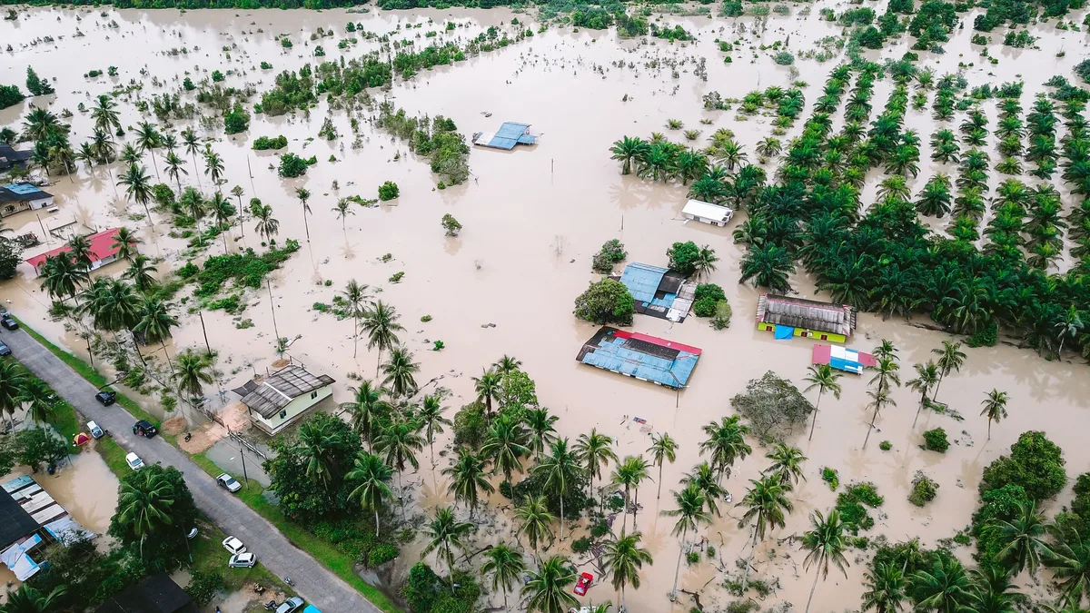
Champi approached Taiwan's east coast before looping offshore and tracking northwards. It did not make a direct hit but still impacted most of the island with gusts up to 141mph. In parts of Yilan, 48-hour rainfall totals exceeded 620mm. Damage included downed trees, signs, smaller structures, and the collapse of a college dorm ceiling in Taipei. The sole fatality was a man washed away by waves in Pingtung county.
Champi's record intensity and forecast
Super Typhoon Champi is the strongest storm in 2026 by wind speed, with peak winds of 296 km/h. It surpassed Hurricane Polo, which previously held the title with 285 km/h winds. Champi also recorded a lower central pressure of 895 mb. The storm is currently located southwest of a subtropical high-pressure system over seas with surface temperatures of 29-30°C.
Forecasts indicate it will weaken as it moves into a more unfavorable environment. It is expected to weaken to approximately Category 10 with gusts up to Category 13 around October 24th, and further to level 8 with gusts to level 10 by October 25th as it moves toward southern Japan and South Korea. The meteorological agency predicts Champi will not move into the South China Sea, though its western circulation could cause strong winds and high waves in the northeastern part of that sea. Champi was downgraded to a tropical storm on Monday as it moved south-west of Japan's mainland due to rapid weakening.
Greece's fourth October flooding threat
Greece faces its fourth consecutive October flooding threat from a low-pressure system bringing severe thunderstorms and heavy rain early this week. A deep low-pressure area will pass across southern Greece, increasing the flood risk. Forecast models predicted similar 12-hour rainfall totals between Wednesday and Thursday, exacerbating the danger. The national meteorological agency said, "30mm-60mm of rain forecast in a 12-hour period across central areas, and 50mm-80mm in the north-east Aegean Islands."
Cyclone Arnab's approach to India
Cyclone Arnab escalated into a cyclonic storm over the west-central Bay of Bengal this weekend. It is expected to move toward the north Andhra Pradesh and south Odisha coast by Wednesday before drifting north and gradually dissipating over north-east India by the week's end. The India meteorological department has issued alerts for extreme heavy rain, thunderstorms, and strong surface winds across eastern India.
Models forecast gusts of up to 85mph and six-hourly rainfall totals of up to 100mm as Cyclone Arnab makes landfall. Champi is forecast to weaken to Category 10 with gusts up to Category 13 around October 24th as it moves toward southern Japan and South Korea.