Tropical Storm Champi Intensifies Toward Guam With Typhoon Watch
Tropical Storm Champi is approaching the Mariana Islands, prompting typhoon and flood watches for Guam, Rota, Tinian, and Saipan.
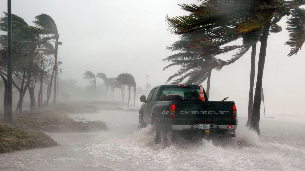
Tropical Storm Champi is strengthening as it moves west-northwest toward Guam, with typhoon and flood watches now in effect across the region. The storm developed from a tropical depression on October 15 and was located about 750 miles east of Guam by the morning of October 16, packing maximum sustained winds of 45 mph.
Typhoon and flood watches were in effect for Guam, Rota, Tinian, and Saipan through October 18. A Typhoon Watch indicates possible typhoon conditions, with sustained winds of at least 119 km/h, within the next 48 hours. The National Weather Service in Tiyan issued the alert for the islands and adjacent coastal waters.
Damaging Winds, Heavy Rain, and Life-Threatening Surf Forecast
Damaging winds were likely late October 17 and into October 18. The NWS Guam stated that "damaging winds were likely late October 17 and on October 18." Strong tropical-storm-force winds are forecast from early Sunday morning into Sunday afternoon, with typhoon-force winds possible near the storm's center.
Heavy rainfall and dangerous surf are major concerns. Storm-total rainfall of 6 to 12 inches could cause flash flooding in urban, low-lying, and poorly drained areas. Surf heights are forecast to build rapidly through the weekend.
| Timeframe | Surf Height (Feet) |
|---|---|
| October 17 | 3-5 |
| Evening, October 17 | 7-9 |
| Morning, October 18 | 15-20 |
This life-threatening surf of 15 to 20 feet is expected by Sunday morning. Coastal inundation of 2 to 3 feet and wave runup as high as 12 feet are also possible, depending on the storm's exact track.
Preparedness Urged as Exact Track Remains Uncertain
The precise path and intensity of Champi remain uncertain. Model tracks range from south of Guam to northern Guam and the channel between Guam and Rota. This creates uncertainty over which islands will experience the cyclone's core and the strongest effects. The NWS said "the strongest winds were expected over the southernmost islands, while locations near the center should prepare for typhoon-force winds."
Residents are advised not to focus on the exact forecast track. The potential for at least extensive damage exists somewhere within Guam and the Northern Marianas. All reefs could be exposed to dangerous conditions, though it is too early to determine which coastlines will be affected most.
Officials have urged preparations to be completed swiftly. Governor Lou Leon Guerrero placed Guam under Condition of Readiness 3 on the afternoon of October 15. Residents should secure property, cover windows, clear drainage debris, and identify safe relocation options if living in flood-prone areas or vulnerable homes. Mariners should secure vessels and remain in port.
Marine conditions will deteriorate rapidly, with seas potentially rising above 20 feet during Champi's closest passage. Dangerous conditions are expected to continue into October 19. The next NWS local statement is expected around 3 p.m. ChST, or sooner if conditions warrant.