Hurricane Simon nears Category 5 strength off Mexico
Hurricane Simon intensified to 155 mph winds just off Mexico's Pacific coast, threatening life-threatening rain and flooding.
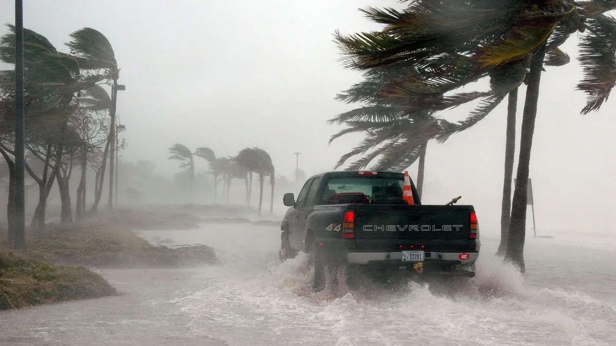
Hurricane Simon strengthened to near-Category 5 strength off Mexico's coast Saturday night, posing a severe threat of wind and flooding rain. Tropical Storm Rachel moved inland across Baja California, bringing heavy rain and flash flood risks to the southwestern United States.
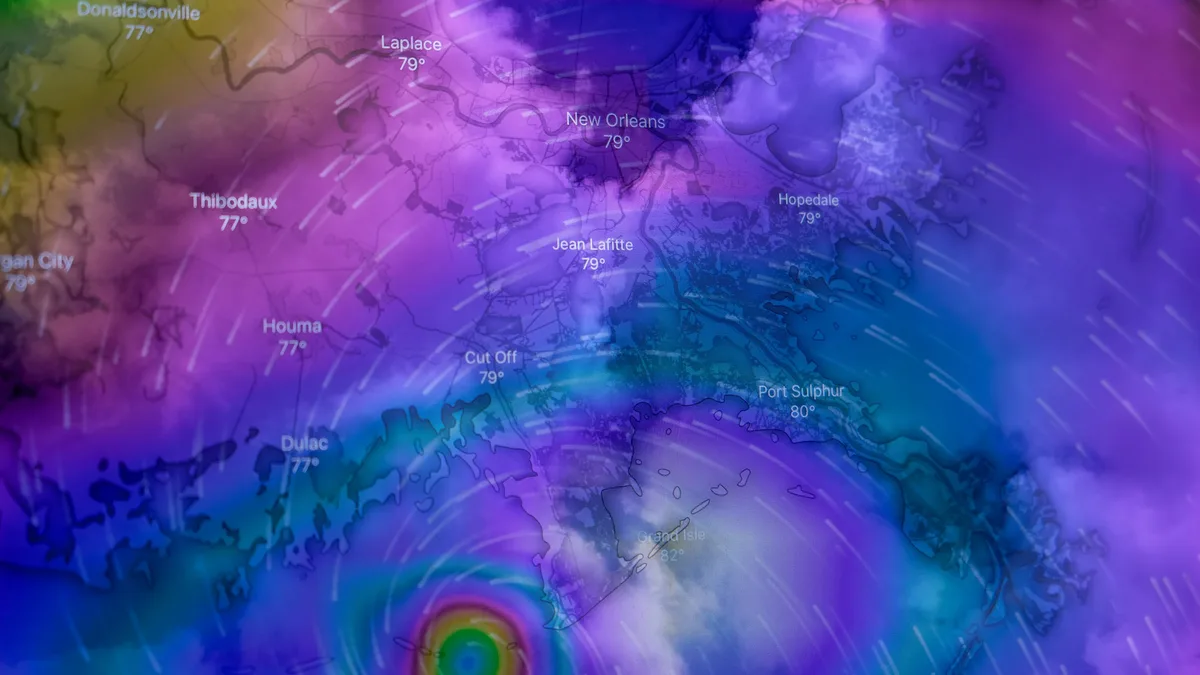
Hurricane Simon's top sustained winds increased to 155 miles per hour as of 11 p.m. EDT Saturday, just shy of Category 5 strength. The storm was centered about 65 miles south-southwest of Manzanillo, Mexico, and moving north at 5 mph. Simon formed on Wednesday and rapidly intensified from a tropical storm into a major hurricane by Friday night. The first hurricane-hunter flight into the storm confirmed its Category 4 strength, finding an estimated central pressure of 933 mb.
The storm's track remained highly uncertain as it approached the coast at a shallow angle. A slight deviation could dramatically change impacts. Forecast models showed a wide range of outcomes, from the storm staying offshore to moving inland. The National Hurricane Center noted that hurricanes in this area often angle further east than models predict due to rugged coastal terrain. It advised that assuming a coastline strike was the safest preparation.
Simon's general north to north-northwest motion was expected to continue with weak steering currents. By 5 p.m. EDT Sunday, it was still a Category 4 hurricane, centered about 25 miles west-southwest of Campo Acosta. The latest forecast suggested Simon could move over or near the Islas Marías on Monday evening before looping back northeastward and striking the coast well north of Puerto Vallarta on Wednesday. The storm was predicted to remain a hurricane until its expected midweek landfall due to light wind shear and warm waters.
Rainfall and coastal threats from Simon
Regardless of its exact track, Simon is expected to produce life-threatening rainfall, flash floods, mudslides, and dangerous surf along Mexico's Pacific coast. The heaviest rains were likely well south of Puerto Vallarta.
Torrential rains could lead to life-threatening flash floods and mudslides. Huge surf, swells, and strong rip currents were expected. The biggest wind impacts would depend on where the storm's compact core moved onshore. Hurricane-force winds extended only 10 miles from the center, with major hurricane-force winds in an even tighter area.
Projected rainfall totals for the region are substantial below.
| Location | Projected Rainfall |
|---|---|
| Parts of Jalisco, Colima, Michoacán (near coast) | 12-16 inches |
| Area around Manzanillo northward into Jalisco | Up to 20 inches by Sunday |
| Most of Jalisco and Colima coastline | At least 1 foot |
| Isolated areas of coastal Michoacán | 20 to 30 inches by Monday |
Rachel's inland progression and Southwest impacts
Post-Tropical Storm Rachel moved inland across northern Baja California late Saturday night, where tropical storm watches were issued for portions of Southern California. As of 11 p.m. EDT Saturday, Rachel was reclassified as a post-tropical cyclone with top sustained winds of 60 mph.
Due to its size and motion, Rachel could pack sustained winds in the 40-50 mph range on Sunday across far northwest Mexico and as far inland as southeast California and southwest Arizona. Even as surface winds spun down, powerful gusts could occur across the higher terrain of the Southwest into Sunday afternoon. As Rachel moved onshore, frictional effects and higher terrain were expected to enhance rainfall.
A corridor of 1-to-3-inch rains near Rachel’s path was expected on Sunday from the deserts of far southern California across the Las Vegas area and into southern Utah. Flash flooding could occur, especially where rains fell in narrow canyons and atop burn scars. The Weather Prediction Center placed a moderate-risk area for excessive rain leading to flash flooding around Rachel’s projected path from Sunday into early Monday.
Most areas of coastal Los Angeles, Orange, and San Diego counties could see up to 1 inch of rain. A little more rain is possible in the mountains of southern California. Rachel's landfall prompted San Diego to issue only its second Tropical Storm Watch ever, with the first occurring in August 2023 for Tropical Storm Hilary. The storm also contributed to ongoing high surf conditions in southern California, exacerbated by a recent warm Kelvin wave that raised ocean sea levels.
Broader context of concurrent systems
While Simon and Rachel dominated the eastern Pacific, other systems were active across multiple basins. Hurricane Isaias made landfall in the western Florida Panhandle on Friday night, causing widespread but non-catastrophic damage. The National Hurricane Center had issued advisories for Hurricane Isaias, the U.S. Pacific coast, and two stretches of Mexico’s Pacific coast on Friday.
Forecast uncertainty and preparedness
The National Hurricane Center emphasized the forecast challenges posed by coastal terrain and urged preparedness for a range of possible outcomes with Simon. If the hurricane stayed just offshore, it could remain much stronger longer, bringing significant wind impacts to a longer stretch of coastline. If it angled further inland after landfall, it could weaken more quickly. Rugged terrain and drying downslope winds may induce some weakening prior to landfall, but Simon would likely remain a formidable storm. The forecast cone is designed to include about two-thirds of possible tracks based on average forecast error over the past five years.
Simon was expected to move over or near the Islas Marías on Monday evening before looping back northeastward and striking the coast on Wednesday well north of Puerto Vallarta.