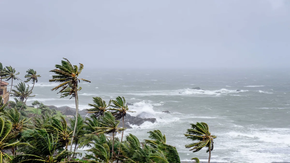
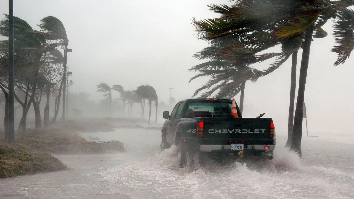
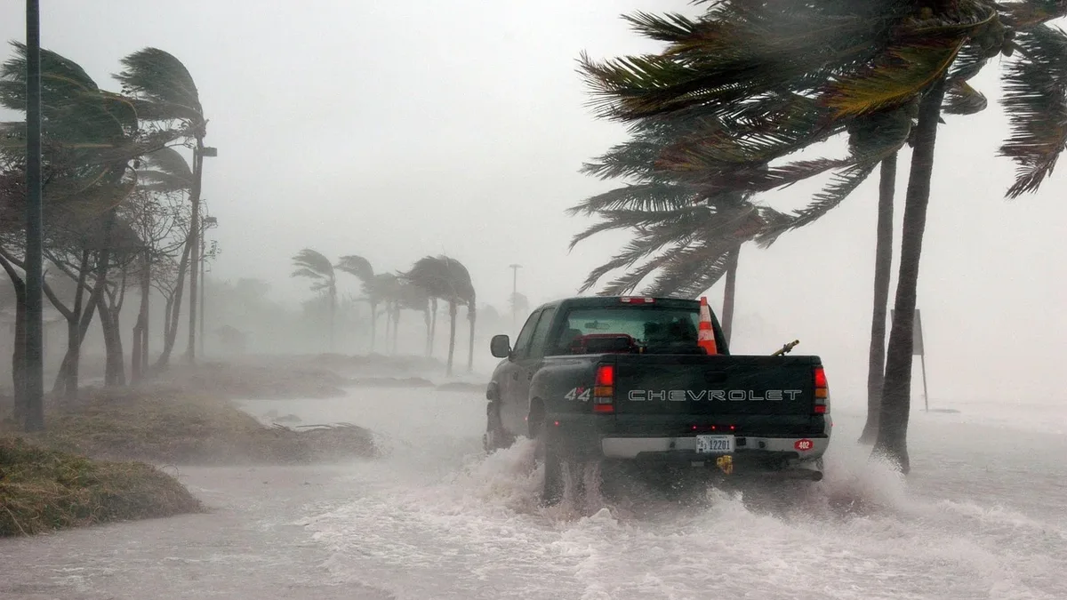
Hurricane Isaias Threatens Gulf Coast with Surge and Tornadoes
Hurricane Isaias, the first hurricane of the 2026 season, is forecast to strengthen and make landfall on the northern Gulf Coast late Friday or early Saturday, bringing life-threatening storm surge, damaging winds, and heavy rain.
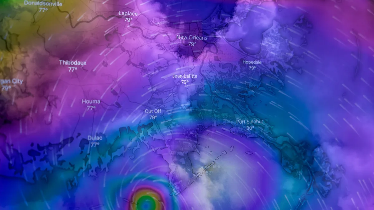
Hurricane Isaias has intensified into the first hurricane of the 2026 Atlantic season. The Category 1 storm, with sustained winds of 85 mph, is expected to reach the northern Gulf Coast late Friday or early Saturday after strengthening further over warm Gulf waters. The National Weather Service warns it will approach as a strong hurricane, bringing multiple life-threatening hazards.
Tropical storm, hurricane, storm surge, and flood warnings are active across hundreds of miles of coastline from Louisiana to the Florida Big Bend. A life-threatening storm surge is expected from the mouth of the Mississippi River to the Suwanee River in Florida. Isaias is forecast to dump 3 to 7 inches of rain from southeastern Louisiana to the Florida Big Bend, with localized totals potentially reaching 15 inches. Flash, urban, and isolated river flooding are likely across much of the Southeast. Damaging hurricane-force winds are expected across parts of the Florida Panhandle, southern Alabama, and southern Mississippi. The Federal Aviation Administration has warned that deteriorating conditions could force closures of Gulf air routes.
Warnings Issued for Surge, Wind, and Rain
Emergency officials across Louisiana, Mississippi, Alabama, and Florida are preparing for worsening weather beginning Friday. Evacuation orders have already started in some coastal communities. A flood watch is set for all of central Alabama from Friday evening through Saturday morning. The storm’s circulation will carry tropical moisture through the Southeast over the weekend, extending the flooding threat well beyond the immediate coast. Tennessee is among the states preparing for those inland effects.
Tornado and Inland Threats Expand
The threat extends beyond the coast. Isolated but potentially powerful tornadoes could spin up across coastal Alabama, the Florida Panhandle, and far southwestern Georgia Friday night into Saturday. The risk shifts farther inland on Saturday, with eastern Alabama, Georgia, and northern Florida facing another period of possible tornado activity as Isaias moves away.
Inland impacts will be significant. The National Weather Service office in Morristown, Tennessee, expects the remnants of Isaias to bring heavy rainfall and strong, gusty winds this weekend. Wind speeds in the eastern Tennessee mountains and foothills could exceed 60-70 mph, with isolated flash flooding possible. In Ohio, the NWS office in Wilmington cautioned that Isaias will hit the Ohio Valley with strong winds and possible widespread rain. The NWS office in Pittsburgh expects soaking rain from the system in Pennsylvania, though significant flooding risks are currently low.
Officials Urge Preparation as Evacuations Begin
States are activating emergency plans. Florida Governor Ron DeSantis declared a state of emergency for 25 counties. "We are assuming that this could reach category three status," DeSantis said at a news conference. He urged residents to act immediately, stating landfall is projected for late Friday night into early Saturday morning. Alabama Governor Kay Ivey declared a state of emergency in 40 counties, effective through October 14.
Local actions are accelerating. Officials in Florida's Okaloosa, Walton, Franklin, and Escambia counties have issued mandatory evacuation orders for coastal and low-lying areas. Panama City issued a local emergency declaration. School districts across parts of Florida and Alabama have announced closures, including Florida State University’s Tallahassee campus on Friday. Amtrak has suspended its Mardi Gras service along the Gulf coast for the weekend, and the Crescent service between New Orleans and Atlanta will be suspended from Friday through Monday.
Impacts Expected to Include Power Loss and Flooding
Hurricane-force gusts risk bringing down trees and power lines, leaving some areas without electricity for an extended period after the storm passes. Rainfall will continue after the center moves inland, prolonging flood risks. The storm is expected to pass north of Mexico’s Yucatán Peninsula later on Thursday as it churns toward the Gulf Coast.