UK frost and rain follow cold front
The coldest night of autumn so far is expected by midweek, bringing the first frost of the season and up to 30mm of rain to drought-stricken areas.
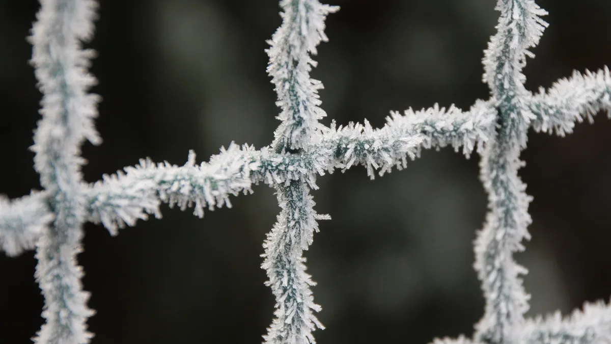
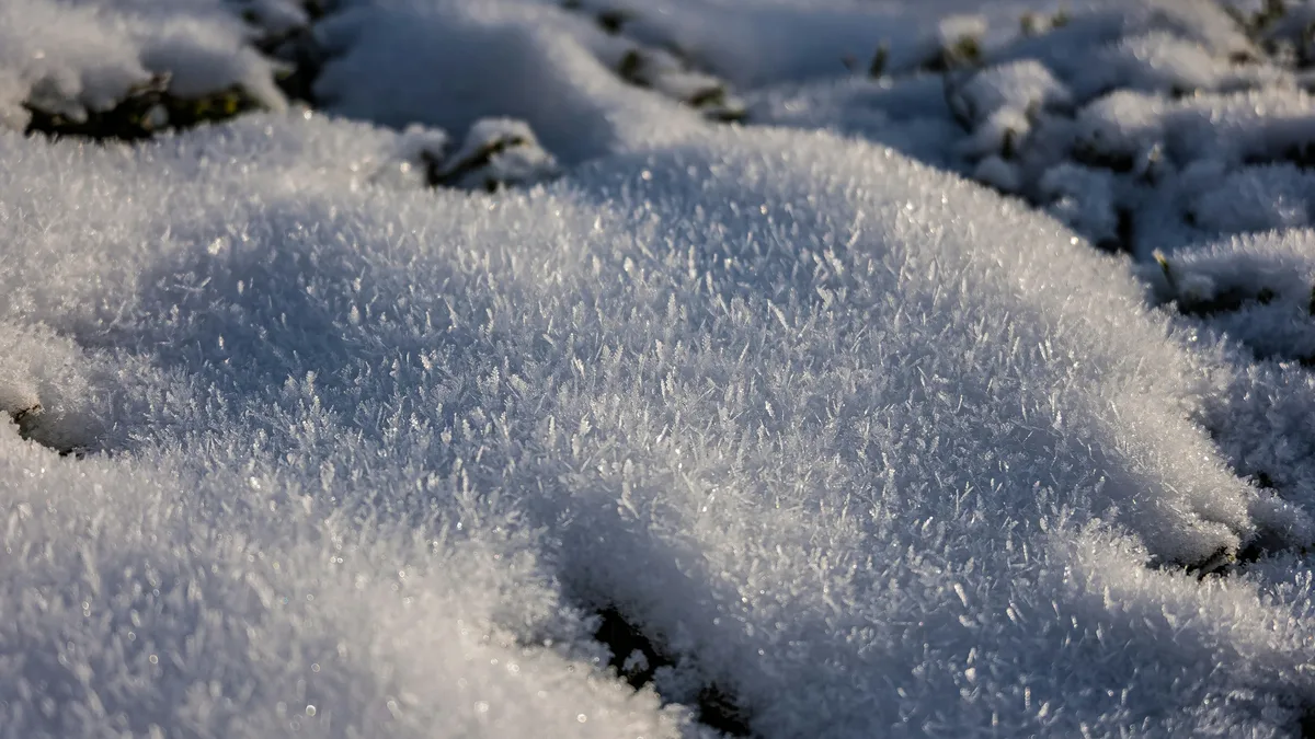
A cold front pushing down from the north will see minimum temperatures just one or two degrees above freezing by dawn on Thursday. This marks the coldest night of autumn so far across the UK, with single-digit temperatures expected everywhere. Britons can expect to see a touch of frost on the grass and car windscreens in particularly cold areas.
Thursday morning will see single digits across all of the UK, ranging from between 3C to 9C. Minimum temperatures at dawn will be around 5 to 7C for most places, with cooler areas in northern and eastern England and eastern Scotland near freezing. The chilly feel will continue into Thursday with maximum temperatures between 11 to 16C.
Rain returns to drought-stricken areas
Rain will spread across England and Wales from midweek, with 20 to 30mm expected in southern and eastern England. This rainfall could equate to up to half a month's rainfall in just 24 hours. The Met Office forecast suggests rain across England will move eastwards through the day, with brighter skies following in the west.
This comes as nearly three quarters of England and all of Wales are still in drought. The Environment Agency has said 20% more rainfall than average is needed for at least seven months to end drought status. A band of rain will move across the UK on Thursday evening.
Temperature contrast and regional variations
The sudden chill marks a dramatic shift given at least somewhere in the UK has been above 20C every day since June 11. Some areas have seen temperatures above 20C every day since 11 June. The contrast will be clear on Wednesday, with afternoon highs varying significantly by region.
| Region | Wednesday Afternoon Highs |
|---|---|
| Northern Ireland and Scotland | 12C to 14C |
| England and Wales | 14C to 16C |
Maximum temperatures will sit around 12-14C across much of Northern Ireland and Scotland on Wednesday, rising just 2C warmer in England and Wales.
Jet stream shift drives the change
The dramatic temperature drop is driven by a shift in the jet stream. The jet stream has changed to sit further south by Thursday, drawing colder air over Britain. This pattern brings clear spells and showers elsewhere, with showers tending to become confined to coastal stretches overnight. It will be chilly, with a patchy frost in the north.
Friday will see a small uptick in temperature before cooling off over the weekend again. By Friday, temperatures will rise again with 20C possible in eastern England and mid-teens in the north. The weekend is likely to see further showers, especially on Saturday but these spells should clear up by Sunday. A chilly, though mostly sunny morning is expected Friday, with cloud increasing in the west and rain moving in across western areas by the afternoon, with increasingly gusty winds in the north.