Yellow thunderstorm warning in West England
The Met Office has issued a yellow warning for thunderstorms and heavy rain across West England, starting Wednesday night and continuing into Thursday morning. Expected rainfall ranges from 20-30 mm in an hour to 30-40 mm over six hours, with up to 50 mm possible in 12 hours.
What to expect
The warning covers a broad band of thunderstorms and heavy rain moving north across England and Wales on Thursday. Locally, rainfall of 20-30 mm in an hour is possible. Across a wider area, 30 to 40 mm can be expected fairly widely, and up to 50 mm in a 12-hour period in some places. Lightning and hail of 1-2 cm are also hazards, and strong gusts may present a risk.
| Time period | Rainfall range | Notes |
|---|---|---|
| 1 hour | 20-30 mm | Local maximum |
| 6 hours | 30-40 mm | Fairly widespread |
| 12 hours | up to 50 mm | Possible in some areas |
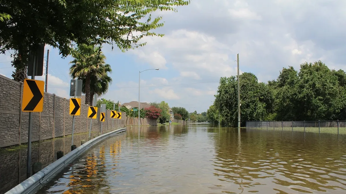
Flooding of homes and businesses could happen quickly, with damage from floodwater, lightning strikes, hail or strong winds. Spray and sudden flooding may lead to difficult driving conditions and some road closures. Power cuts might occur, and services to some homes and businesses could be lost.
What to do
If you live in an area at risk of flash flooding, prepare a flood plan and an emergency flood kit. Secure movable objects or temporary structures-bins, garden furniture, trampolines, tents, gazebos, sheds and fences-before gusty winds arrive. Check road conditions if driving, or bus and train timetables, and amend travel plans if necessary.
People cope better with power cuts when they have prepared for them in advance. Gather torches and batteries, a mobile phone power pack and other essential items. If you find yourself outside and hear thunder, seek a safe enclosed shelter such as a car. Do not shelter under or near trees, or other structures that may be struck by lightning. If you are on an elevated area, move to lower ground.
The Met Office recommends staying up to date with the weather forecast in your area, as warnings can change quickly.
Details of the warning
The warning has a low likelihood and a medium impact. The start time has been brought forward by one hour, and the warning area has been expanded slightly eastward. Wind gusts as a hazard have been removed from the description.
The Met Office notes that a broad band of heavy showers and thunderstorms will move northwards during the morning, becoming slow-moving in the afternoon and evening. Accumulations of 20-30 mm in an hour are possible locally, while 30 to 40 mm can be expected fairly widely and up to 50 mm in a 12-hour period in places. A small chance exists that some places may see more than 50 mm in three hours and more than 75 mm through 12 hours, especially over east-facing high ground.
Affected areas
The warning covers a wide range of local authorities across England and Wales, including:
- East of England: Essex, Hertfordshire, Southend-on-Sea, Thurrock
- London & South East England: Bracknell Forest, Brighton and Hove, Buckinghamshire, East Sussex, Greater London, Hampshire, Kent, Medway, Oxfordshire, Portsmouth, Reading, Slough, Surrey, West Berkshire, West Sussex, Windsor and Maidenhead, Wokingham
- East Midlands: Derby, Derbyshire, Leicester, Leicestershire, Lincolnshire, Northamptonshire, Nottingham, Nottinghamshire, Rutland
- North West England: Blackburn with Darwen, Blackpool, Cheshire East, Cheshire West and Chester, Cumbria, Greater Manchester, Halton, Lancashire, Merseyside, Warrington
- South West England: Bristol, Gloucestershire, North Somerset, South Gloucestershire, Swindon, Wiltshire
- Wales: Blaenau Gwent, Bridgend, Caerphilly, Cardiff, Carmarthenshire, Ceredigion, Conwy, Denbighshire, Flintshire, Gwynedd, Isle of Anglesey, Merthyr Tydfil, Monmouthshire, Neath Port Talbot, Newport, Pembrokeshire, Powys, Rhondda Cynon Taf, Swansea, Torfaen, Vale of Glamorgan, Wrexham
- West Midlands: Herefordshire, Shropshire, Staffordshire, Stoke-on-Trent, Telford and Wrekin, Warwickshire, West Midlands Conurbation, Worcestershire
- Yorkshire & Humber: East Riding of Yorkshire, North Lincolnshire, North Yorkshire, South Yorkshire, West Yorkshire, York
For more detailed information on how this weather may affect your local area, consult the Met Office’s official pages or check the latest updates on the fixtures and stats sections of our site.