The National Severe Weather Warning Service Explained
| Country of origin | United Kingdom |
|---|---|
| First created | 1950s (warning system), 2011 (service name) |
| Original use | To provide advance warning of severe weather to protect life and property. |
| Issuing authority | The Met Office |
| Warning types | Wind, rain, snow, ice, fog, extreme heat, thunderstorms |
| Warning levels | Yellow, Amber, Red |
| Coverage area | England, Wales, Scotland, Northern Ireland |
| Communication channels | Website, mobile app, TV, radio |
Origin and history
The National Severe Weather Warning Service originated in the United Kingdom. It was developed and is operated by the Met Office, the UK's national meteorological service. The service was formally launched in the late 1980s, evolving from earlier, more informal warning systems used by the Met Office. Its creation was driven by a need for a standardized, nationwide method to alert the public and authorities to impending severe weather. The system has been refined over subsequent decades, incorporating improved forecasting technology and public feedback. Its fundamental role within the UK's civil contingency planning has remained consistent since its inception.
What it is for
The service exists to provide advance warning of weather events that have the potential to cause significant disruption, damage, or danger to life. Its primary purpose is to enable individuals, communities, emergency responders, and local authorities to take preparatory action. Warnings are issued to allow time for measures such as securing property, altering travel plans, or implementing emergency protocols. It focuses specifically on meteorological hazards like heavy rain, strong winds, snow, ice, fog, and extreme heat or cold. The service aims to translate complex meteorological forecasts into clear, actionable risk information. It functions as a critical communication bridge between expert forecasters and the end users who must make decisions based on the risk.
Overview
The service operates on a color-coded matrix system based on the combination of the likelihood of a severe weather event occurring and the potential impact it would have. The warning levels are Yellow, Amber, and Red, indicating increasing levels of severity and required response. Each warning covers a defined geographical area and a specified timeframe, often ranging from a few hours to several days ahead. The warnings are accompanied by detailed text explaining the expected weather, the likely impacts, and recommended actions. The decision to issue a warning is made by specialist meteorologists who assess forecast models against impact thresholds. This structured system replaces subjective terms with a standardized assessment of risk.
What to know
A Yellow warning signifies that you should plan ahead considering potential travel delays or minor disruptions, as severe weather is possible. An Amber warning indicates an increased likelihood of more severe impacts, meaning you should consider changing plans and taking steps to protect yourself and property. A Red warning is rare and signifies that dangerous weather is expected, posing a risk to life, and you must take immediate action to follow advice and keep safe. Warnings are updated regularly and can be escalated, downgraded, or cancelled as the forecast certainty changes. The service is distinct from routine weather forecasts, as it is only triggered when impacts cross specific, pre-defined thresholds. It is essential to check the specific details of any warning for your area, as impacts can be highly localized.
Common questions
A common question is whether a Yellow warning should be taken seriously, given it is the lowest level; even a Yellow warning indicates a credible risk of disruptive weather and warrants attention. People often ask why a warning is issued for their area when the sun is shining; warnings are issued for future weather, sometimes many hours ahead, based on forecast confidence. Many wonder if a warning means an event is certain to happen; the system incorporates likelihood, so a warning, especially Yellow, may indicate a significant chance but not a guarantee. Users frequently question the geographical precision, as weather fronts do not follow county lines; warnings use broad regions to communicate risk efficiently, with details in the text. Another query concerns the difference between a weather watch and a warning; this service issues definitive warnings, not preliminary watches, based on assessed risk. People also ask how to receive warnings, which are disseminated through the Met Office website, mobile app, and media partners, but not automatically via emergency alerts to all phones.
Pros and cons
A significant pro is the system's clarity, as the color-coded matrix provides an instantly understandable indication of severity. It successfully distills complex meteorological data into a public-facing tool that facilitates decision-making. A notable con is that the frequent use of Yellow warnings can sometimes lead to public desensitization or "warning fatigue," where people begin to ignore them. The broad geographical regions used can also be a drawback, as they may lead individuals in parts of a warning area that escape the worst impacts to question the service's accuracy. Some users regret relying solely on the headline color without reading the detailed impact information, which is where the most crucial guidance is found. A common mistake is assuming the system predicts weather with absolute certainty, rather than understanding it communicates a risk assessment based on the best available data.
Who it suits
This service is ideally suited for UK residents, emergency planners, and local authorities who require authoritative, impact-based guidance for operational planning. It suits individuals who are proactive about their safety and are willing to check forecasts and warnings regularly to inform their daily activities. The system is particularly valuable for those in vulnerable situations or with outdoor responsibilities, such as farmers, event organizers, and transport operators. It is less suited for individuals seeking hyper-local, minute-by-minute weather predictions, as the warnings are regional and cover time windows. It also may not fully satisfy technical users who wish to access the raw meteorological data, as it is a processed, interpretive product. Ultimately, it serves anyone who needs a reliable, official source to understand when routine weather may become a hazard.
Latest The National Severe Weather Warning Service Explained news
Latest reporting

Bank Holiday weather brings thunderstorms
Unsettled conditions with heavy showers and strong winds are set to continue across parts of the UK into Bank Holiday Monday, following a period of...

England's Water Shortfall Threatens Farms
A combination of prolonged drought, high consumption, and infrastructure issues is pushing England toward a severe water shortage, with a projected...
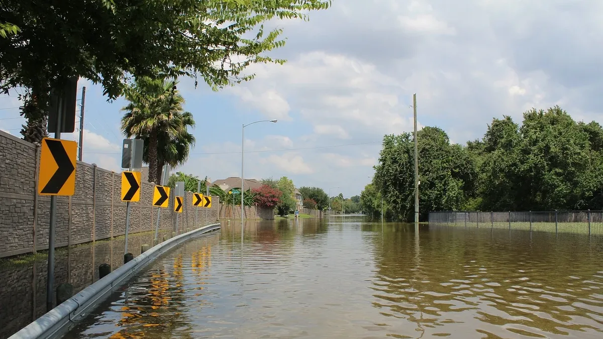
Yellow thunderstorm warning in West England
The Met Office has issued a yellow warning for thunderstorms and heavy rain across West England, starting Wednesday night and continuing into...
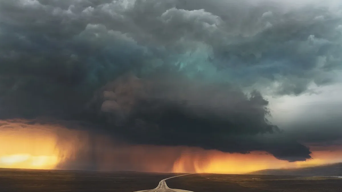
Yellow warnings remain in force as rain and thunderstorms hit parts of UK
A Met Office yellow warning for thunderstorms is active until 22:00 BST, covering large parts of England and Wales. Heavy rain of 20-30 mm in an hour...
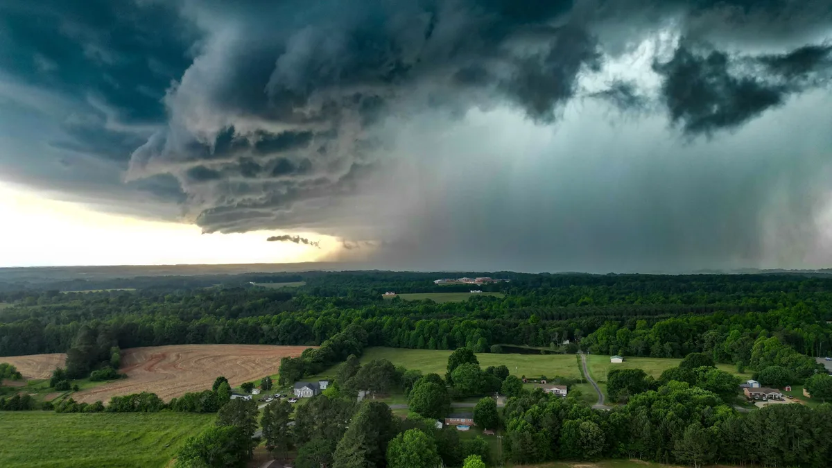
El Niño Event Expected to be Strongest in Living Memory
The Met Office warns that the developing El Niño event is likely to be the strongest in living memory, with significant impacts on global weather...
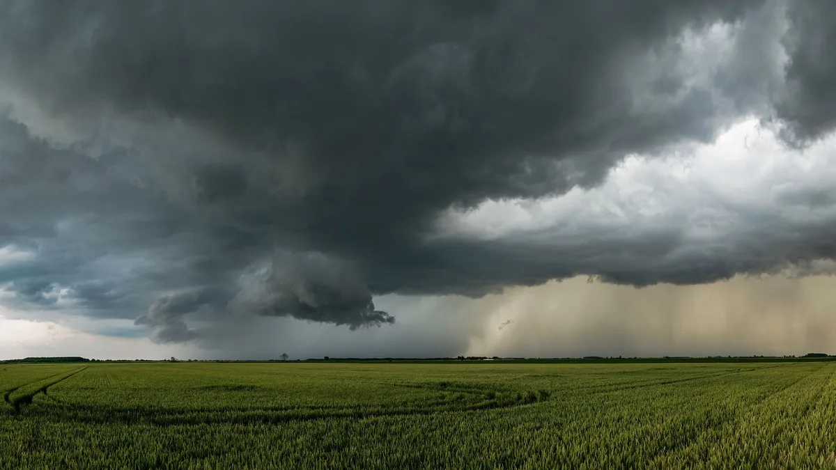
Romania Shuts Down Nuclear Plant Due to Low Danube River Levels
Romania's only nuclear power station has been shut down due to extremely low water levels in the Danube River caused by prolonged hot weather