Uk Sea Level Rise
| Terminology | Sea Level Rise |
|---|---|
| Primary system | Global Climate System (Thermal expansion, ice melt) |
| Primary cause | Anthropogenic global warming |
| Secondary causes | Post-glacial rebound, groundwater extraction |
| Warning trigger | Inundation and coastal erosion |
| Key UK monitoring body | National Oceanography Centre |
| UK measurement method | Tide gauge network and satellite altimetry |
| UK regional variation | Vertical land movement causes differing local rates |
Origin and history
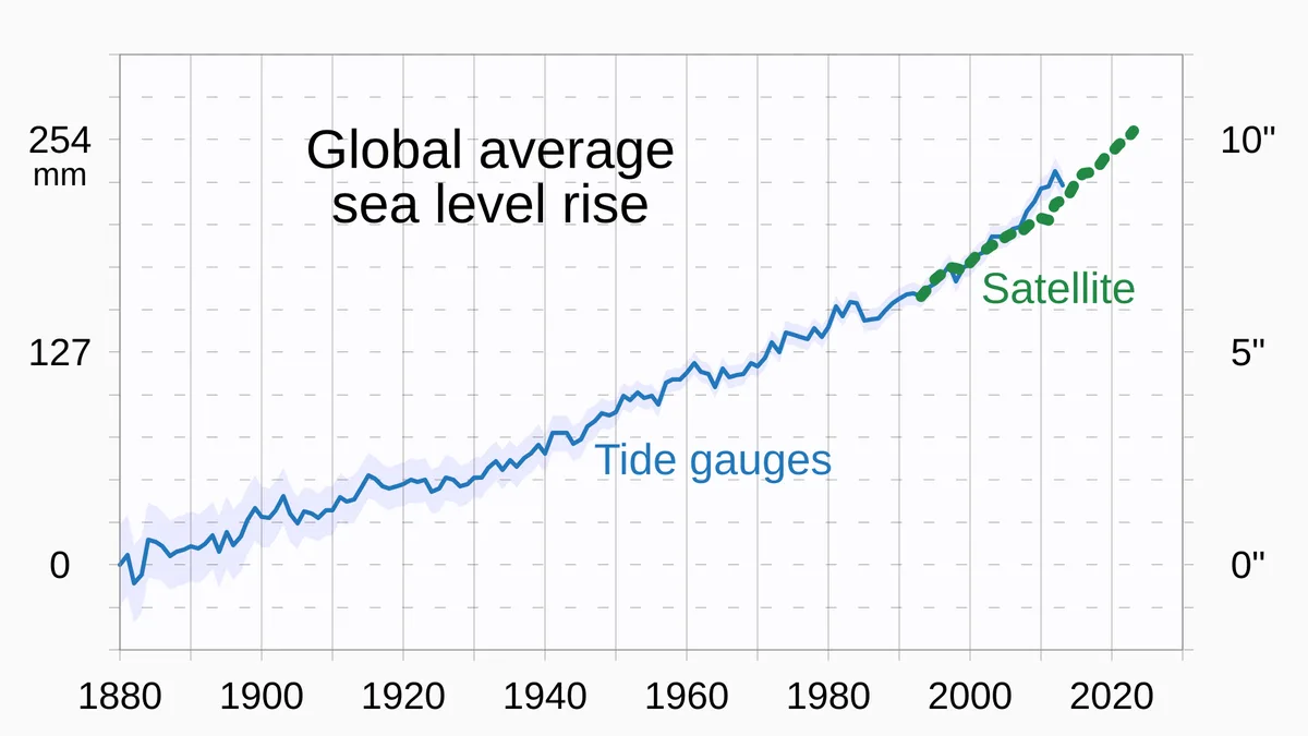
The systematic measurement and study of sea level change around the UK originates from the United Kingdom's own scientific and maritime institutions. The foundation for modern understanding was laid in the 19th century with the establishment of permanent tide gauge stations at ports like Liverpool and Sheerness. These early instruments provided the first reliable long-term records, revealing that sea levels were not static over decadal timescales. The scientific framework expanded significantly in the late 20th century as the link between global climate change and regional sea level rise became clearer. This led to the formalisation of UK sea level rise as a distinct field of study within climatology and oceanography. Contemporary research now integrates data from these historical gauges with satellite altimetry and advanced climate models.
What it is for
UK sea level rise analysis serves to quantify the change in the height of the sea relative to the land across different UK coastal locations. Its primary function is to provide a factual, observed baseline of past and present change, separating the climate change signal from natural variability and vertical land movement. This data is essential for understanding the physical processes at work, including thermal expansion of ocean waters and the contribution from melting land-based ice. It informs the development of national climate projections, such as those published by the UK Climate Change Committee. The analysis directly underpins long-term strategic planning for coastal defence, flood risk management, and infrastructure resilience. It also provides critical context for interpreting individual extreme water level events, distinguishing between a storm surge and the underlying rise in mean sea level.
Pros and cons
A primary advantage of focusing on UK sea level rise is that it provides location-specific, actionable data that accounts for regional oceanographic effects and local land subsidence or uplift. This granularity is crucial for effective coastal engineering and policy-making. However, a significant con is the complexity introduced by the varying rates of vertical land movement across the UK, particularly the ongoing glacial isostatic adjustment which causes Scotland to rise and southern England to sink, complicating the pure climate signal. A common mistake is to cite a single national rate of rise, which misrepresents the risk profile for specific communities. Another drawback is that public and political attention often focuses on short-term forecasts, while the greatest utility of the data is in planning for inevitable, century-scale changes that are already committed due to past emissions. This can lead to regret when long-term infrastructure projects are designed only for current conditions, necessitating far more expensive retrofits later.
Who it suits
This body of knowledge is essential for coastal engineers, town planners, and risk management authorities who require robust data for designing flood defences, zoning regulations, and long-term infrastructure projects. It suits environmental scientists and researchers who need to validate and improve global climate models using regional observational datasets. Insurance and reinsurance companies utilise these trends to assess and price long-term coastal flood risk for properties and assets. Policy makers and government agencies, such as the Environment Agency and the Climate Change Committee, rely on it to formulate national adaptation strategies and allocate resources. It is also critical for heritage and conservation bodies managing vulnerable coastal sites, from historic ports to natural habitats. Finally, it serves informed citizens and community groups in coastal areas who are advocating for evidence-based adaptation measures to protect their localities.
Latest Uk Sea Level Rise news
Latest reporting

Elephant Butte Reservoir hits lowest level since 1971
Satellite imagery reveals a 15-year decline at Elephant Butte Reservoir, which fell to 1.4% of capacity in July 2026, its lowest point in over 50...
Super El Niño Strengthens, Forecasts Reach Record Levels
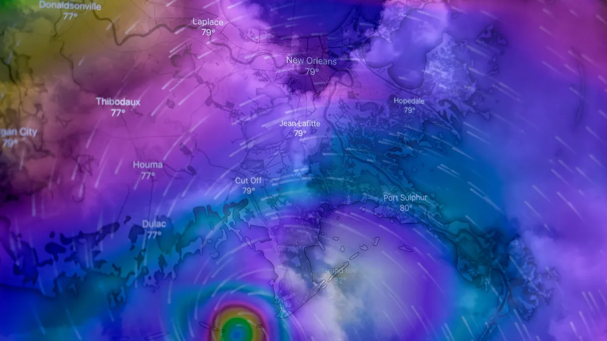
A rapidly intensifying Super El Niño in the tropical Pacific is pushing forecasts into historic territory for 2026-2027. Record-level westerly wind...
UK Heatwaves May Have Cost Economy £4.4bn in Lost Output So Far This Year, Analysis Finds
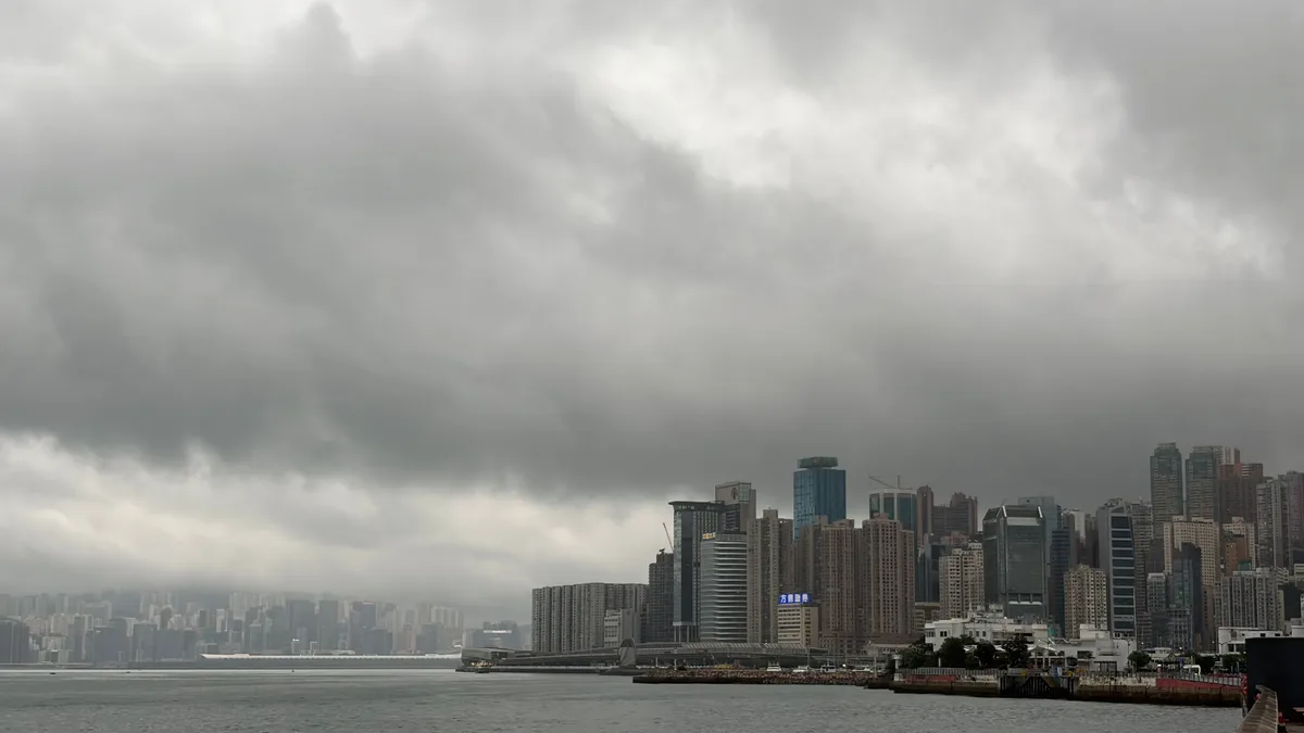
Green thinktank Verdant estimates that the UK economy has lost £4.4bn in output due to heatwaves this summer, with the cost expected to rise to over...
Children at Higher Risk in Heatwaves: How to Protect Them
Children, especially those under five, are more vulnerable to heatwaves due to underdeveloped thermoregulation. Their core temperatures rise faster...