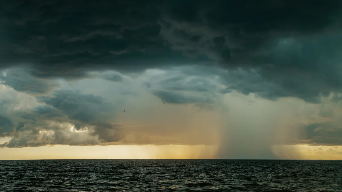
Wettest Day
| Definition | The highest 24‑hour precipitation total officially recorded at a given location. |
|---|---|
| Trigger | Issued when observed or forecast rainfall meets or exceeds locally defined extreme thresholds. |
| Measurement | In millimetres or inches of liquid water equivalent. |
| Typical Range | Varies by climate zone, from under 25 mm in arid regions to over 500 mm in tropical/monsoonal zones. |
| Impact | Causes flash flooding, river flooding, and associated hazards. |
| Data Source | Official meteorological observation network (e.g., weather stations, rain gauges). |
| Purpose | Used for climatological records, infrastructure design, and public safety warnings. |
Origin and history
The concept of the Wettest Day record is a product of systematic meteorological observation and data archiving. It emerged as a fundamental climatological metric alongside the establishment of permanent weather stations and standardized measurement protocols. This record is not attributed to a single inventor or a specific national initiative but evolved from the collective scientific practice of quantifying precipitation extremes. Its historical documentation is tied to the longevity and consistency of rainfall measurement at a given location. The record serves as a key datum for understanding hydrological cycles and establishing climatic baselines. The integrity of any Wettest Day record is entirely dependent on the continuity and quality of the observational data series from which it is derived.
What it is for
The Wettest Day record quantifies the greatest depth of precipitation accumulated within a continuous 24-hour period at a specific observation point. It is a critical extreme value used in climatology to characterize the rainfall potential of a region. Engineers and hydrologists use this record to design drainage systems, dams, and flood defenses to withstand plausible extreme events. Urban planners reference it to assess flood risk and inform land-use zoning, particularly in floodplain management. The record provides a factual benchmark against which individual storm events can be compared for severity and context. It also serves as an educational tool to illustrate the variability and power of regional weather systems.
Pros and cons
A primary advantage of the Wettest Day record is its concrete, unambiguous nature as a single-figure extreme, making it straightforward to communicate and compare. It provides a clear target for infrastructure design standards and emergency preparedness planning. A significant con is that this single-day metric can oversimplify flood risk, as prolonged multi-day rainfall events, which may have a lower daily peak but greater cumulative impact, are not captured. Users often mistakenly assume the record represents a theoretical upper limit, when in fact it is only the highest value observed to date, and future events may exceed it. Municipalities that design solely to this historical record often regret the decision when a new, higher value is recorded, leading to costly infrastructure failures. Another common mistake is applying a record from one geographic location to a different area without accounting for local topographic and climatic influences.
Who it suits
This record suits civil engineers and infrastructure designers who require a definitive numerical input for calculating drainage capacity and structural loads. It is essential for hydrologists and climatologists studying long-term trends in precipitation intensity and frequency. Insurance risk modelers utilize this data to estimate probable maximum loss scenarios for properties in specific basins. Emergency management agencies reference it when developing response plans for flash flood and river flood scenarios. Municipal water resource managers use it to evaluate the performance of existing stormwater systems during extreme events. It is also a valuable resource for educators and communicators needing a tangible example of weather extremes for public awareness campaigns.