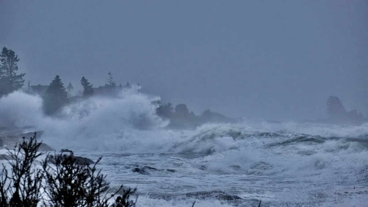
Coastal Overtopping And Storm Surge
| Subject | Coastal Overtopping And Storm Surge |
|---|---|
| Definition | The overflow of seawater beyond the natural or artificial shoreline barrier, typically caused by a combination of storm surge and wave action. |
| Primary cause | Low atmospheric pressure and strong onshore winds associated with a tropical cyclone or intense extratropical storm. |
| Key driver | Storm surge, which is the abnormal rise in seawater level. |
| Associated warning | Storm Surge Warning or Coastal Flood Warning issued by meteorological agencies. |
| Measurement | Often quantified by the height of water above a defined coastal barrier or datum. |
| Impact | Can cause coastal flooding, erosion, and damage to infrastructure. |
Origin and history
Coastal overtopping and storm surge are not human inventions but natural hydraulic and meteorological phenomena with origins in the physics of the atmosphere and ocean. The scientific understanding and systematic study of these processes, however, developed significantly in the 20th century. The foundational concepts linking low atmospheric pressure and wind to elevated sea levels were established by coastal engineers and oceanographers decades ago. The specific term "storm surge" entered widespread technical use in the mid-20th century as forecasting and coastal management became more rigorous. Research into wave overtopping mechanisms advanced considerably in the latter part of the 20th century with the development of empirical formulae and physical modelling. The integration of these two related hazards into a combined coastal flood risk framework is a more recent development in the field of coastal engineering.
What it is for
This reference concerns the physical definitions and warning context of these phenomena, not a forecast product. Its purpose is to explain the mechanisms that trigger official coastal flood warnings issued by meteorological and environmental agencies. The information serves to clarify why certain weather systems, like tropical cyclones or intense extratropical lows, lead to specific alert levels for coastal communities. It provides the foundational knowledge for understanding evacuation orders, the closure of coastal infrastructure, and the activation of emergency response plans. The definitions help the public and professionals distinguish between the different components of coastal flooding, such as the steady rise from surge versus the intermittent wave overtopping. This explanatory framework is essential for risk communication and for interpreting the severity of a developing situation based on the forecast weather parameters.
Overview
Coastal overtopping and storm surge are two distinct but often concurrent processes that lead to the inundation of land. A storm surge is a long-wavelength rise in sea level caused primarily by the wind stress pushing water onshore and secondarily by the low atmospheric pressure of a storm system. This elevated water level provides the base upon which wind-driven waves then act. Wave overtopping occurs when individual waves, riding on top of the elevated surge, exceed the crest height of a natural or artificial coastal defense, such as a dune, seawall, or levee. The total water level at the coast is therefore a combination of the astronomical tide, the storm surge, and the wave setup and runup. The most severe flooding events typically happen when a peak storm surge coincides with a high astronomical tide, a scenario often called a "storm tide." The destructive power is compounded when overtopping waves deliver large volumes of water directly over defenses, leading to rapid inundation.
What to know
Storm surge height is not uniform and is profoundly influenced by coastal bathymetry and shape; shallow, gently sloping shelves and concave coastlines like bays can amplify surge significantly. Overtopping is not a continuous flood but a series of intermittent pulses, with the volume of water discharged per meter of defense per second being a key engineering metric. It is critical to understand that a storm surge is not a tsunami, as tsunamis are generated by seismic activity or landslides and have a different wave period and propagation mechanism. The Saffir-Simpson Hurricane Wind Scale incorporates storm surge as a general characteristic for each category, but local surge heights can vary widely from these averages based on local geography. Warnings will often reference potential inundation above ground level, which depends on both the total water level and the elevation of the land. Residents in warning zones should know their property's elevation relative to mean sea level and have a plan for both vertical evacuation and, if ordered, horizontal evacuation to safer ground.
Common questions
A common question is whether storm surge is affected by climate change, and scientific consensus indicates that sea level rise provides a higher base for surges to build upon, increasing the frequency and extent of flooding. People often ask if constructing a seawall will stop flooding, but while it may reduce overtopping, it can also exacerbate scour and simply transfer energy to adjacent undefended areas. Many wonder why surge is worse on one side of a storm; in the Northern Hemisphere, the strongest winds and highest surge are typically in the right-front quadrant of a hurricane relative to its forward motion. A frequent point of confusion is the difference between a storm surge watch and a warning, where a watch indicates possible life-threatening inundation within 48 hours and a warning indicates it is expected within 36 hours. Individuals often ask if they should evacuate for a certain surge height, and the answer always depends on local topography and official instructions, as even one foot of surge can be dangerous and carry debris. People also question if surge affects inland areas, and while the peak is at the coast, seawater can penetrate miles inland through rivers, estuaries, and canals.
Pros and cons
The primary "pro" of understanding these phenomena is that it enables precise risk assessment, targeted warnings, and the engineering of effective coastal defenses, ultimately saving lives and property. A significant "con" or challenge is the public's frequent underestimation of surge and overtopping dangers, often due to the invisible nature of the threat until it is too late and a misconception that sturdy structures can withstand flowing water. A common mistake is for residents to focus solely on wind speed and category while ignoring surge forecasts and evacuation orders for low-lying zones. Those who often regret their choice are individuals who decide to "ride out" a storm in a surge-prone area, finding themselves trapped by rapidly rising water that can undermine foundations and sweep away vehicles. Another drawback in management terms is the high cost and environmental impact of hard engineering defenses, which can create a false sense of security and lead to more development in risk-prone areas. The complexity of accurately modeling combined surge and wave overtopping in real time remains a technical con, with small errors in storm track or intensity leading to large errors in local water level predictions.
Who it suits
This explanatory reference suits coastal residents, property owners, and business operators who need a factual basis for understanding official warnings and making preparedness decisions. It is essential for emergency managers, urban planners, and local government officials responsible for creating evacuation zones and communicating risks to the public. Civil and coastal engineers require this foundational knowledge to design and assess the performance of seawalls, breakwaters, levees, and natural barrier systems. Insurance underwriters and risk modelers use these concepts to evaluate flood risk and set premiums for coastal properties. Educators and students in earth science, geography, and environmental studies will find this a structured overview of key coastal hazard processes. Finally, it suits any individual with a general interest in meteorology and oceanography who seeks to move beyond simple forecasts to comprehend the underlying physical forces at work during major coastal storms.
Latest Coastal Overtopping And Storm Surge news
Latest reporting
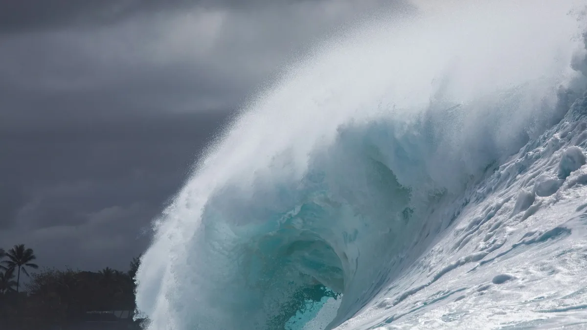
Hurricane Polo makes landfall in Baja California Sur
Hurricane Polo struck Mexico's Pacific coast near Las Barrancas with 110 mph winds, bringing life-threatening flooding and storm surge.
Hurricane Polo threatens Baja California Sur with flooding
Hurricane Polo, a major Category 3 storm, is approaching Baja California Sur with 115 mph winds, bringing life-threatening flooding risks.
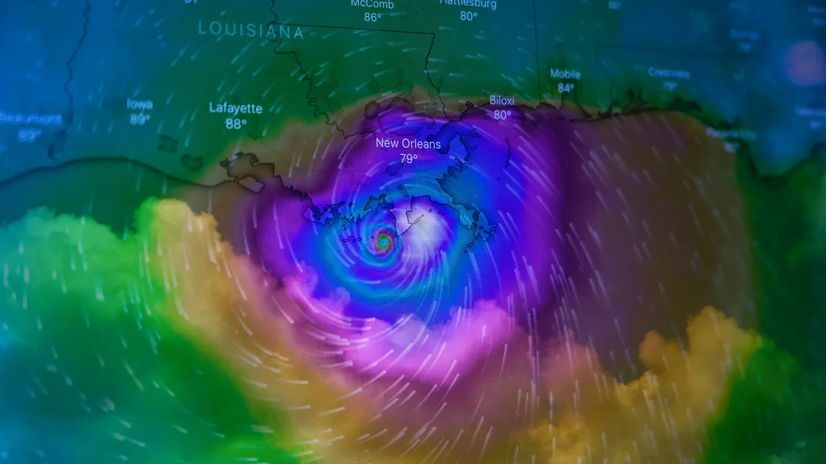
Hurricane Polo Makes Landfall in Baja California Sur
Hurricane Polo made landfall in Baja California Sur as a Category 2 storm late September 28, bringing heavy rain and flash flood risks to northwest...
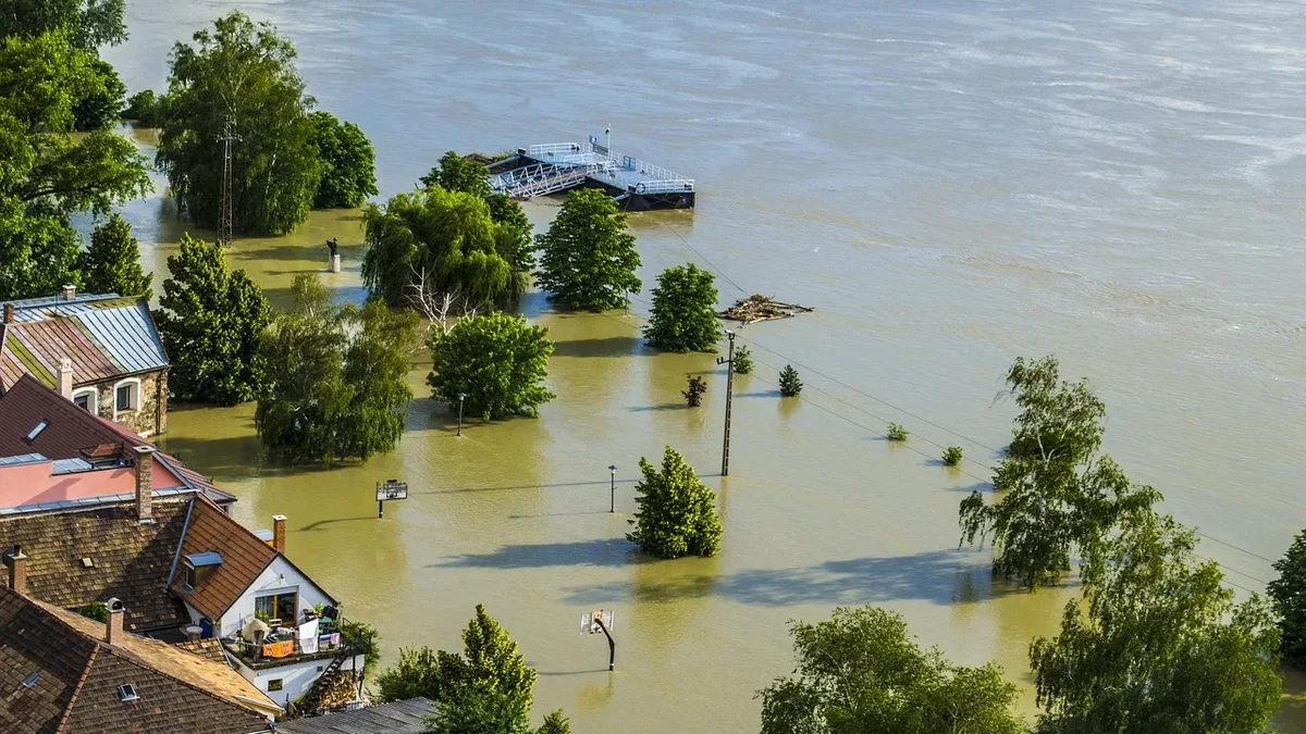
Nor'easter Brings Coastal Flooding and Power Outages
A powerful, slow-moving nor'easter is battering the northeastern US with severe coastal flooding, damaging winds, and heavy rain, prompting states of
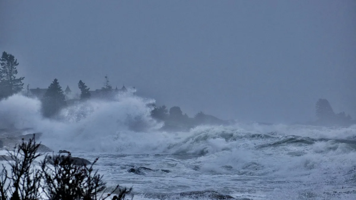
Nor'easter Lashes New England with Heavy Rain and High Winds
A significant nor'easter is battering the Northeast, bringing coastal flooding, power outages, and travel chaos to millions.
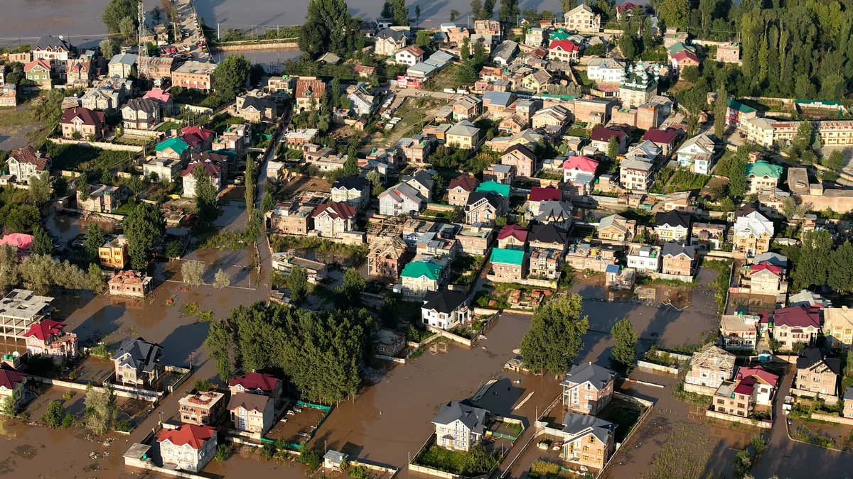
September 2026 Nor'easter Triggers Coastal Flood and Wind
A long-duration nor'easter is bringing high winds, heavy rain, and significant coastal flooding to the Northeast and Mid-Atlantic, with warnings in...