Hurricane Polo Makes Landfall in Baja California Sur
Hurricane Polo made landfall in Baja California Sur as a Category 2 storm late September 28, bringing heavy rain and flash flood risks to northwest Mexico
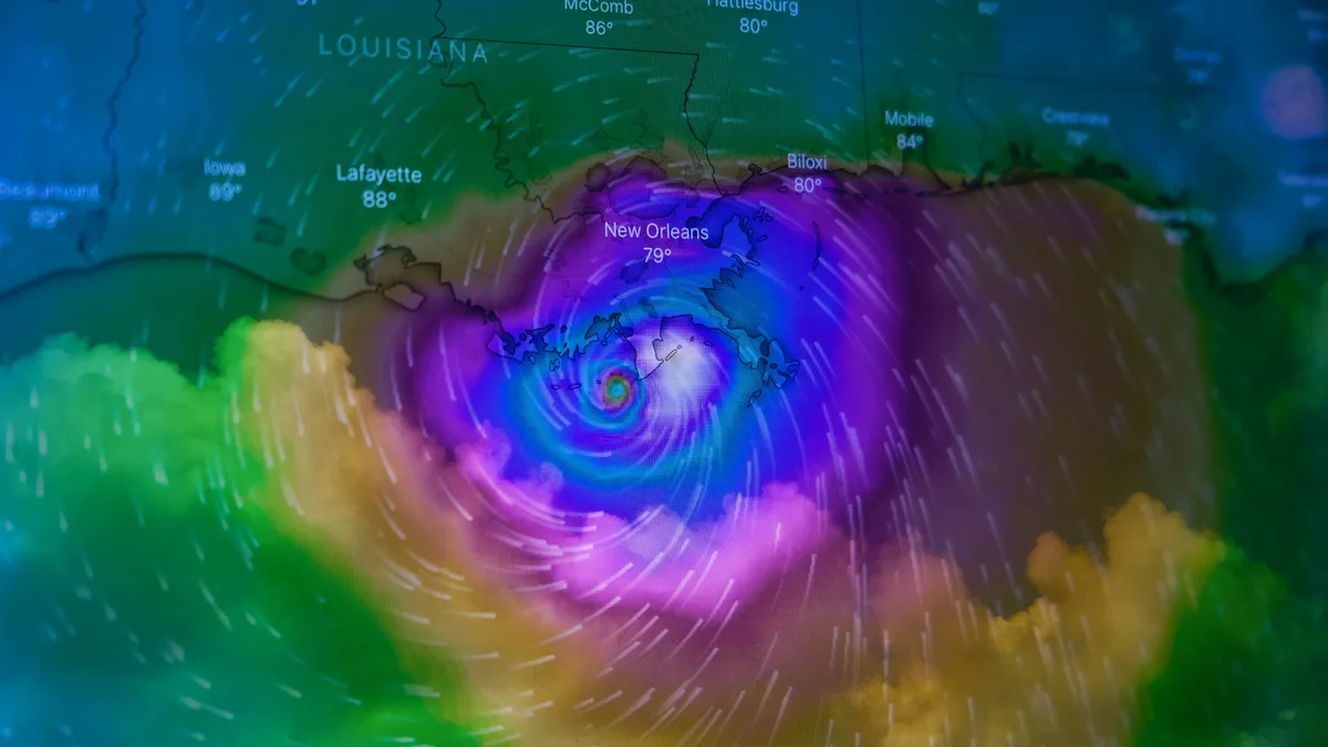
Hurricane Polo made landfall in Baja California Sur at about 11 p.m. local time on September 28. The National Hurricane Center estimated the storm came ashore as a Category 2 hurricane. Polo will rapidly weaken over the rugged terrain of the Baja peninsula, but its moisture will spread north, bringing widespread rainfall and flood risks to parts of the Southwest and Central United States this week.
Even as it weakens to a tropical storm and eventually a remnant low, Polo will haul significant moisture across the region. This influx of tropical moisture is expected to combine with moisture from Post-Tropical Cyclone Odalys. The combined systems will spread into the southwestern United States and southern Plains over several days.
Rainfall and flood threats across Mexico and the U.S. Southwest
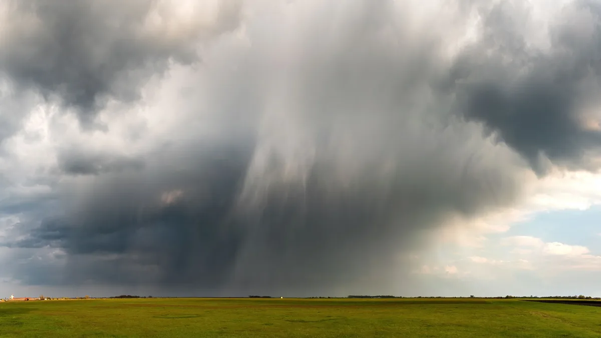
Polo’s remnants will bring widespread multi-day rainfall totals of 3 to 5 inches. Some pockets will see torrential rains. Episodes of deadly flash flooding will be a real concern. Forecasters warned that heavy rainfall could trigger flash flooding and mudslides in Baja California Sur and Sonora.
Specific rainfall forecasts for Mexico are significant. The Weather Prediction Center predicted a moderate risk of rainfall exceeding flash-flood guidance for several areas.
| Region | Expected Rainfall | Local Maxima |
|---|---|---|
| Central Baja California Sur | 4-8 inches | 12 inches |
| Southern Sonora state | 4-6 inches | 8 inches |
The flood risk extends into the United States. The NOAA/NWS Weather Prediction Center predicted a moderate risk (level 3 of 4) of rainfall exceeding flash-flood guidance across the Four Corners region on Monday. The risk shifts to an area from southeast Arizona to the Texas Panhandle on Tuesday. There’s likely to be a sharp gradient from southeast to northwest in rainfall totals. Parts of the drought-stricken Southwest and Plains will benefit from the moisture, but the flood danger is paramount.
Coastal hazards and tropical storm Rachel
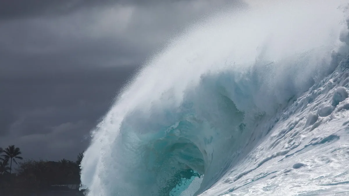
Dangerous surf and rip currents generated by Polo will continue through Monday along the Baja coast. Meanwhile, another system is affecting Mexico's Pacific coast. Tropical Storm Rachel was moving roughly parallel to Mexico’s southwestern coast. The NHC warned that communities along the coast could experience strong winds, dangerous surf and rip currents as Rachel passed offshore.
Rachel intensified from Tropical Depression 18E. It was upgraded to a tropical storm at 5 p.m. EDT Sunday. Earlier forecasts suggested it could become a hurricane by Monday.
Other tropical activity: Nolo impacts Hawaii, Atlantic remains quiet
In the Central Pacific, Hurricane Nolo brought significant impacts to Hawaii. As of 11 a.m. EDT Sunday, Nolo was centered about 260 miles southwest of South Point on the Big Island. Its top sustained winds were 105 mph, and it was heading west at 10 mph. The NHC later upgraded Nolo to Category 4 strength at 8 p.m. EDT Sunday with top sustained winds of 130 mph.
Squalls on Nolo’s outer edge led to periods of heavy rain and high wind in eastern Hawaii. More than 15,000 customers in Maui and Hawaii counties were without power as of Sunday morning. Parts of Maui and the Island of Hawaiʻi received more than 12 inches of rain. News reports described flooded roads, fallen trees and landslides. The Island of Hawaiʻi escaped some of the more serious damage associated with Hurricane Lala in mid-August. The NASA Disasters Program, working with FEMA, is supporting Hawaii’s response with maps and data.
In the Atlantic basin, an unusual quiet persists. The Atlantic is set to enter October without having recorded a single hurricane. No Atlantic season in the modern era has gone this long without a hurricane. In the full Atlantic database going back to 1851, the only season that took till October for its first observed hurricane was 1905.
Moisture from Polo and Odalys will spread into the southwestern United States and southern Plains over several days.