Northeast weekend nor'easter forecast warns
A weekend nor'easter threatens New York, Boston, and New England with 70 mph wind gusts, coastal flooding, and power outages starting late Wednesday and
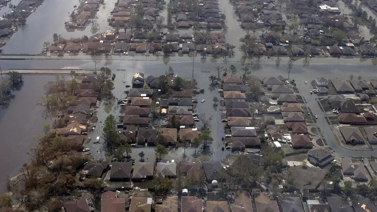
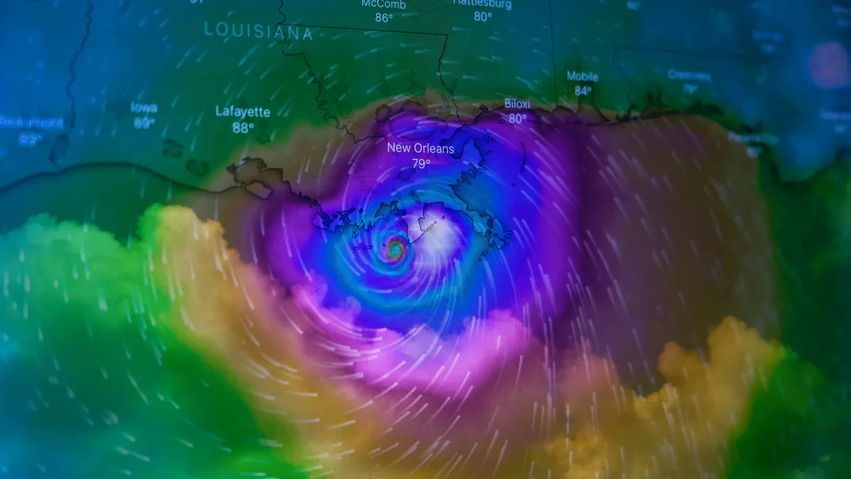
Wind gusts of up to 70 mph are expected in places during a weekend nor'easter affecting New York, Boston, and much of New England. This season's first such storm since the official start of fall could bring beach erosion, flooding, and power outages, with impacts beginning late Wednesday and lasting through the weekend.
An online weather service predicted a long-duration storm for many areas along the mid-Atlantic and New England coasts. Effects are expected to spread to New England late Friday or Saturday, lasting through Sunday in some places. The system could sit swirling off the coast, with winds likely to bring sea rise up to 3 feet above normal levels.
Model disagreement on track and timing
Forecast models are split on the storm's development. The Weather Channel said, "Forecast models are picking up on the low, but two models show that the timing and duration of the storm could differ." Uncertainty remains about where the system will be at the end of the week.
The European model brings the low close to the coast as a strong storm but moves slower. In this scenario, it could meander around the east coast until it fizzles. This would allow more time for strong winds to cause significant power outages, heavy rain-induced flooding, and coastal erosion.
The GFS model brings the storm in faster, approaching New England by Saturday afternoon. This faster storm could mean winds, rain, and coastal erosion would be less severe, lessening disruptions to travel and weekend plans. However, the GFS model also predicts a stronger storm by the end of the weekend as it moves away from the northeast, meaning some coastal areas could experience longer-lasting impacts.
Nor'easter characteristics and coastal risks
Nor'easters are more prevalent from September to April. They usually develop within about 100 miles of the coast between Georgia and New Jersey, progress steadily northeastward, and typically attain maximum intensity near New England and the maritime provinces of Canada.
AccuWeather's forecasters agreed with the Weather Channel that the exact track of this weekend's storm remains important for communities farther inland. A track closer to the coast could bring heavier rain, stronger wind gusts, and travel disruptions from Washington DC and Philadelphia to New York City and Boston. A track farther offshore would limit inland rain and wind impacts.
For New York, the winter storm will unleash intense precipitation and strong winds. The exact impact depends entirely upon its final route. If the storm approaches New Jersey or Long Island too closely, the most damaging weather effects will concentrate squarely over New York City with destructive gusts. If the system tends to veer toward Boston, the metropolitan area will experience windy conditions and heavy surf on the outer edges of the phenomenon, though coastal areas will inevitably suffer severe havoc.
Coastal areas will face risks of moderate flooding and severe erosion due to high waves. Forecast centers warn that Long Island beaches will register severe dune detachment and relentless waves reaching between 15 and 18 feet offshore. Oceanic water will be pushed inland, provoking moderate coastal flooding across interior bays during high tide hours.
Wind gusts in immediate coastal sectors could easily oscillate between 40 and 50 mph. These gusts could noticeably complicate urban mobility and generate considerable operational delays across public transportation services during the weekend. Authorities strongly recommend New York residents prepare well in advance to mitigate risks associated with dangerous maritime conditions and low-land overflowing. Residents should prepare for potential delays and disruptions in transportation and stay informed via official alerts as the storm evolves through the weekend.