Hurricane Polo's Record-Breaking Rapid Intensification
Hurricane Polo underwent explosive rapid intensification in September 2026, gaining 90 knots of wind speed in 24 hours to become a Category 5 storm, fueled by ocean temperatures up to 3 degrees above normal.
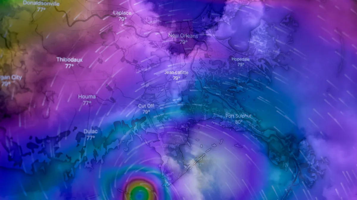
Hurricane Polo achieved a record-breaking rapid intensification in the eastern Pacific in September 2026, becoming a Category 5 storm in less than a day. The storm's maximum sustained wind speed increased by 90 knots within 24 hours, a surge powered by sea surface temperatures as high as 32°C, which were two to three degrees warmer than usual for the season.
Hurricane Polo began as a tropical disturbance off the Pacific coast of Mexico in mid-September. It organized into a tropical depression by September 20 and strengthened to a tropical storm on September 21. The following day witnessed what experts termed an 'extreme rapid intensification,' defined as a wind speed increase of at least 60 knots in 24 hours. Polo far exceeded that threshold. By September 22, it was a Category 5 hurricane with sustained winds of 180 mph, marking one of the fastest transitions from depression to top-tier storm in the region's history.
The oceanic conditions were near-perfect. Surface waters across a vast area were above 27.8°C, and critically, the warmth extended to considerable depths. This high ocean heat content provided relentless fuel and resulted in a minimal cool water wake behind the storm, preserving its energy. The storm's central pressure ranked as the second lowest ever recorded in the eastern Pacific.
Scientific analysis and context
Atmospheric scientists highlighted the storm's extraordinary behavior while providing crucial context. Gary Partyka of NASA's Goddard Space Flight Center noted, "Polo went through a period of what can only be described as explosively rapid intensification." The National Hurricane Center described the intensification as 'truly remarkable' in its forecasts. By some analyses, Polo became the third-strongest storm on record in the eastern Pacific by wind speed.
Both Partyka and colleague Kristen Corbosiero from the State University of New York at Albany cautioned against directly linking Polo's fury to the ongoing El Niño. Historical precedents show several hurricanes, including Category 5 storms Otis (2023) and Patricia (2015), underwent similar rapid intensification during La Niña and neutral conditions. While tropical cyclone activity typically increases during El Niño, the specific driver for Polo was the exceptionally warm water. Data showed the accumulated cyclone energy in the eastern Pacific for the season was nearly twice the norm by late September.
Impacts and response
As Polo churned toward land, communities braced for a multi-faceted disaster. The storm weakened to a Category 3 with 125 mph winds by September 27, but it remained extremely dangerous. Forecasts indicated it would make landfall in Baja California Sur on September 28 before crossing the Gulf of California for a second strike on mainland Mexico.
The threat extended beyond wind. The steep terrain of the Baja California peninsula creates a perfect setup for flash flooding. Torrential rain on mountain slopes rushes down into arroyos and towns with shocking speed, capable of washing away roads and bridges. In places like San Juanico, this could isolate entire communities from medical facilities and emergency supplies. A 125 mph wind field combined with relentless downpours can tear roofs off buildings, snap power grids, and trigger catastrophic landslides.
Authorities acted swiftly. Civil protection units ordered immediate evacuations for low-lying areas. The Mexican navy mobilized personnel and humanitarian aid in ports like Guaymas and Mazatlán, deploying specialized vessels to reach coastal communities expected to be cut off after landfall. In coastal hotspots like Puerto San Carlos, residents prepared by hauling dirt, stacking rubble, and nailing plywood. Official emergency advice stressed heeding evacuation orders, securing outdoor items, and stockpiling essentials for at least three days.
Monitoring and tracking tools
Forecasters and the public relied on advanced tools to monitor the storm's evolution. Satellite imagery, like that captured by NASA's Aqua satellite, revealed Polo's large, clear eye and extensive outflow pattern. Kristen Corbosiero observed, "The satellite imagery of Polo is very impressive." People could track sea surface temperature anomalies using NASA's Worldview browser and monitor real-time storm data through specialized modeling tools. These resources provided critical information as forecasters expected Polo to curve toward the northeast and approach the Baja California peninsula.
Residents in coastal hotspots like Puerto San Carlos are preparing by hauling dirt, stacking rubble, and nailing plywood.