Rain And Flooding
| Country of origin | Global |
|---|---|
| First documented | Ancient times |
| Original use | Describing a meteorological and hydrological hazard |
| Primary hazard | Inundation of normally dry land |
| Typical cause | Prolonged or intense rainfall |
| Associated risks | Property damage, infrastructure disruption, health hazards |
| Common mitigation | Drainage systems, flood defenses, land-use planning |
Origin and history
The concept of a "Rain And Flooding" forecast originates from modern meteorological agencies in the 20th century. Its development is tied to the advancement of hydrometeorology, which integrates rainfall prediction with hydrological watershed models. The specific practice of issuing combined rain and flood warnings became more formalized in the latter half of the 20th century. This was particularly driven by major flooding disasters in regions like East Asia, North America, and Europe, which highlighted the need for integrated warning systems. The methodology relies on established scientific principles concerning precipitation intensity, duration, basin absorption, and river channel capacity. It is not the product of a single country but a global refinement of weather forecasting and civil protection practices.
What it is for
This type of forecast is for risk communication and preparatory action, not merely stating the weather. Its primary function is to trigger pre-defined emergency protocols for government agencies, first responders, and infrastructure managers. It informs decisions such as the pre-emptive release of reservoir water, the deployment of flood barriers, and the positioning of rescue assets. For the public, it serves as a direct instruction to take specific protective measures, which may include avoiding travel, moving to higher ground, or sandbagging property. The warning is designed to create a clear link between predicted meteorological conditions and their probable hydrological impacts. It exists to shorten the time between observing dangerous rainfall and implementing life-saving and property-preserving actions.
Overview
A Rain And Flooding forecast is a two-stage assessment that first analyzes incoming precipitation and then models its likely effect on ground conditions and water systems. The meteorological component assesses the expected rainfall intensity, duration, and geographical footprint from weather systems like atmospheric rivers, monsoonal lows, or stationary fronts. The hydrological component uses this data to simulate runoff, river discharge, and groundwater response within specific watersheds and drainage basins. The final product is a graded warning, often using levels like "watch," "advisory," or "warning", that communicates both the certainty and the severity of the expected flooding. It explicitly addresses multiple flood types, including riverine (fluvial) flooding, flash flooding in small streams, and urban flooding from overwhelmed drainage. This integrated analysis distinguishes it from a simple rain forecast, which does not translate precipitation into ground impact.
What to know
You should know that these forecasts are inherently probabilistic and contain uncertainty, especially regarding exact flood locations and peak water levels. The lead time for a reliable flash flood warning can be very short, sometimes only a few hours, due to the fast-developing nature of the storms that cause them. Soil moisture from previous rainfall is a critical factor, as saturated ground cannot absorb more water, turning even moderate rain into floodwater. Urban areas with extensive impervious surfaces like concrete are exceptionally vulnerable, as drainage systems have a finite capacity that can be quickly exceeded. The warning's geographic specificity is crucial; flooding is hyper-local, dependent on terrain, and a warning for your county does not guarantee your street will flood, nor does the absence of a warning guarantee safety. Always follow the instructions from local authorities that are issued in conjunction with these forecasts, as they are based on the most current local data.
Common questions
A common question is why a flood warning is issued when it is not currently raining at a person's location; this is because the warning is for the entire watershed where rain is falling upstream, and water takes time to travel. People often ask if a "Rain And Flooding" warning is more serious than a "Flash Flood Warning"; typically, they are synonymous, though some agencies use specific terminology for different flood types like areal or river flood warnings. Many wonder if living outside a designated floodplain means they are safe; such warnings often cover areas beyond official flood maps, as extreme events can overwhelm any drainage system. A frequent query is about the accuracy of these forecasts; while meteorological models are skilled at predicting large-scale rainfall, pinpointing which small creek will overflow remains a significant challenge. Individuals often ask what the difference is between a "watch" and a "warning"; a watch means conditions are favorable, while a warning means flooding is imminent or already occurring. People also commonly question why they should heed a warning if previous ones did not result in severe flooding at their home, which is a dangerous form of warning fatigue that ignores the variable nature of each storm system.
Pros and cons
A major pro is that these forecasts provide a critical, actionable lead time that allows for the mobilization of emergency services and personal evacuation, directly saving lives and reducing economic loss. They synthesize complex meteorological and hydrological data into a single, comprehensible alert for the public and officials. A significant con is that false alarms or over-warnings are common, as the precise location and impact of flooding are difficult to model, which can lead to public complacency and "warning fatigue" during future events. The forecasts can also create a false sense of security for those not in the highlighted area, even if they are at risk from localized drainage issues or groundwater flooding not captured by the model. Another drawback is that the technical language and probabilistic nature of the forecasts are often misunderstood by the public, who may desire absolute certainty. The common mistake is for individuals to look out their window, see only moderate rain, and dismiss the warning, not understanding the cumulative watershed effects or the potential for rapid deterioration upstream.
Who it suits
This type of forecast suits emergency managers and civil protection authorities who require integrated information to execute pre-planned response protocols and allocate resources efficiently. It is essential for operators of critical infrastructure, such as water treatment plants, railways, and power stations, located in flood-prone areas, as it informs operational shutdowns or protections. It suits residents living in floodplains, near rivers or streams, in low-lying areas, or in regions with known drainage problems, for whom it is a primary tool for personal safety. The forecast is also highly valuable for agricultural interests, allowing for the moving of livestock, equipment, and harvests from low fields. It does not suit individuals seeking hyper-local, minute-by-minute predictions or those who are unwilling to act on probabilistic information without direct, immediate visual confirmation of danger. It is least effective for those without access to the communication channels through which the warnings are disseminated, highlighting a critical gap in community resilience.
Latest Rain And Flooding news
Latest reporting
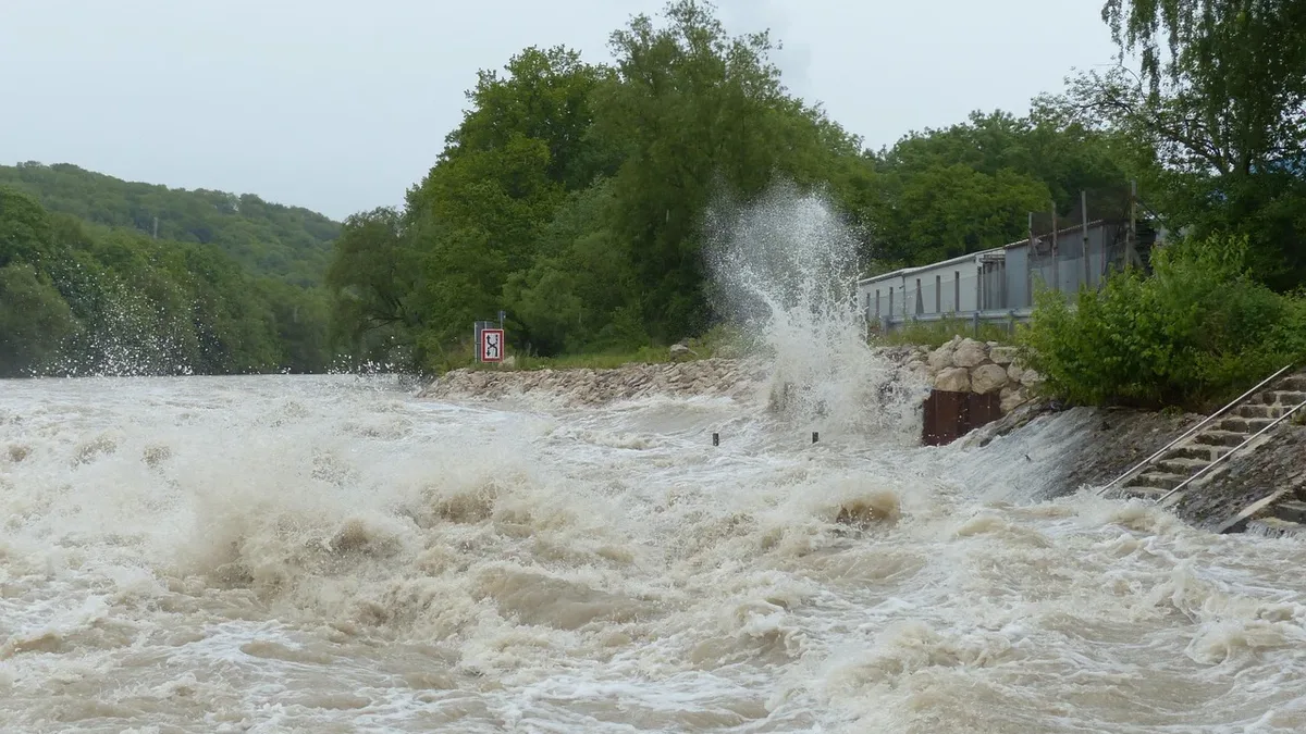
Grand Canyon floods kill two, one missing
Flash flooding in the Grand Canyon has killed two people, with one individual still missing after rescue crews evacuated dozens from Phantom Ranch.

Glacier Collapse Triggered Nepal Floods
Scientists attribute deadly flooding in Nepal and Tibet to a glacier collapse near the 7,000-meter Langtang Lirung peak.
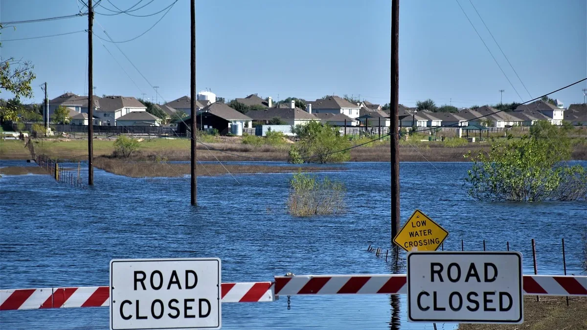
Flood alerts for England thunderstorms
Flood alerts are in place across England as heavy rain and thunderstorms are forecast for the bank holiday weekend, with warnings of travel...
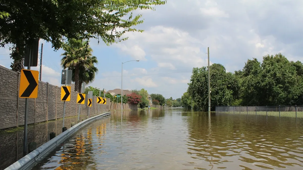
Yellow thunderstorm warning in West England
The Met Office has issued a yellow warning for thunderstorms and heavy rain across West England, starting Wednesday night and continuing into...
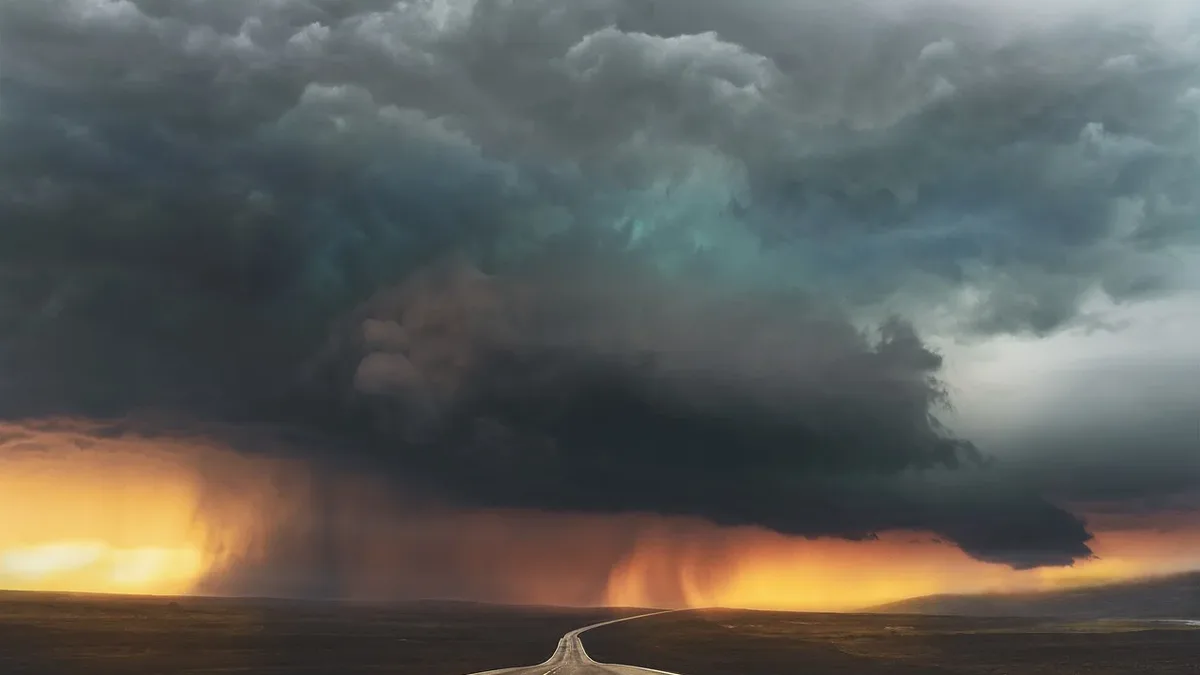
Yellow warnings remain in force as rain and thunderstorms hit parts of UK
A Met Office yellow warning for thunderstorms is active until 22:00 BST, covering large parts of England and Wales. Heavy rain of 20-30 mm in an hour...

Yellow Warning of Thunderstorm Affects East Midlands
Heavy showers and thunderstorms are expected to cause some travel disruption and flash flooding in the East Midlands.