Wind Warnings
| Country of origin | United Kingdom |
|---|---|
| First created | 1970s |
| Original use | To provide a standardized, public alert for severe wind conditions |
| Scale | Beaufort Force 8 to 12 (Gale, Severe Gale, Storm, Violent Storm, Hurricane) |
| Issuing authority | National meteorological services |
| Typical lead time | 6 to 36 hours before onset |
| Warning colors | Yellow, Amber, Red (varying by national system) |
| Associated hazards | Structural damage, transport disruption, flying debris |
Origin and history
Wind Warnings originate from the national meteorological services of several maritime nations in the mid-20th century. Their development was driven by the need to standardize hazard communication for shipping and coastal industries following several major maritime disasters. The formal system of graduated wind warnings, as commonly recognized today, was widely adopted across North America and Western Europe in the 1960s and 1970s. This adoption coincided with the modernization of weather observation networks and the establishment of 24-hour forecast offices. The underlying scale for these warnings, often relating wind speed to observable sea state or damage potential, has historical roots in earlier maritime Beaufort-like scales. These systems have evolved continuously with forecasting technology but retain their core purpose of providing clear, actionable alerts.
What it is for
Wind Warnings are issued to alert the public and specific sectors to the expectation of hazardous wind speeds that pose a threat to life and property. Their primary function is risk communication, translating complex meteorological forecasts into simple, categorical danger levels. They are specifically designed to trigger pre-planned safety actions by emergency managers, mariners, infrastructure operators, and the general public. For maritime activities, these warnings directly inform decisions about port closures, vessel securing, and voyage planning to ensure safety at sea. On land, they guide utilities, transportation departments, and event organizers in mitigating damage from falling trees, power lines, or structural failure. The system exists to bridge the gap between a technical weather forecast and the necessary protective decisions made by individuals and authorities.
Overview
A Wind Warning system is a tiered set of alert levels, each defined by a threshold of sustained wind speed and/or wind gusts. Common tiers include advisories, watches, and warnings, with increasing severity corresponding to higher wind speeds and greater anticipated impacts. The specific wind speed thresholds for each tier can vary by country and region, reflecting local climatology and vulnerability. For instance, a "Gale Warning" in one maritime region might be triggered by sustained winds reaching 34 knots, while a "Storm Warning" would indicate winds exceeding 48 knots. These warnings are issued by official meteorological agencies for defined geographical zones and valid time periods. The issuance is based on analysis of weather models, observations, and the confidence of forecasters in the development of strong wind-producing systems like storms, hurricanes, or frontal squalls.
What to know
You should know that Wind Warnings are distinct from a general wind forecast; they are an official alert that hazardous conditions are imminent or occurring. The exact criteria for each warning type, such as "High Wind Warning" or "Strong Wind Warning," are published by your national weather service and should be reviewed. It is critical to understand that the greatest danger often comes from wind gusts, which can be significantly stronger than the sustained wind speeds mentioned in the warning. These warnings are typically issued for finite periods, and you must check if they have been extended, upgraded, or canceled as the weather system evolves. Ignoring a warning because the sky appears clear at the moment is a common and dangerous error, as the strongest winds often arrive abruptly. Always follow the recommended actions for the warning level, which may include securing loose outdoor items, avoiding travel, or taking shelter in a sturdy building.
Common questions
A common question is whether a Wind Watch is different from a Wind Warning, and the key distinction is timing: a Watch means conditions are possible, while a Warning means they are expected or happening. People often ask if these warnings apply to them when they are inland, and the answer is yes, as many systems can carry damaging winds far from coastal areas. Many wonder why a warning is issued when winds seem mild locally, which occurs because warnings are for a broad zone where conditions may already be severe elsewhere. A frequent inquiry is about the difference between wind from a thunderstorm and a broader wind warning, with the former being more localized and sudden while the latter covers larger areas for longer durations. Individuals often question how to secure their property, with guidance focusing on anchoring lightweight objects, trimming dead tree branches, and protecting windows. People also commonly ask where to find the most official warning information, which is always directly from government meteorological agencies or their authorized broadcast partners.
Pros and cons
A major pro of the Wind Warning system is its standardization, which allows for clear, universally understood messaging that cuts through forecast details to signal immediate danger. The tiered structure effectively communicates escalating risk, enabling staged preparedness actions from both authorities and the public. A significant con is that the broad geographical zones of warnings can lead to complacency in areas on the fringe of the alert where winds may not materialize as severely, a phenomenon known as "warning fatigue." Another drawback is that the system primarily focuses on wind speed thresholds, sometimes overlooking the compounding risks from accompanying factors like saturated ground, which makes trees more likely to topple. Users often regret choosing to ignore a warning because they have experienced similar forecasts that did not produce damage in their specific neighborhood, not recognizing the inherent variability within a storm system. A common mistake is focusing solely on the hurricane or storm name and not on the specific wind hazards, which can extend hundreds of miles from the center of a cyclone.
Who it suits
This system suits emergency management officials and civil protection agencies who rely on clear, categorical alerts to activate pre-defined response plans and allocate resources. It is essential for the maritime industry, including commercial shipping, ferry operators, and port authorities, for whom wind warnings are a non-negotiable operational input. Utility companies and infrastructure managers also suit this system, as it provides the lead time needed to stage repair crews and anticipate widespread power outages. The system suits members of the general public who are proactive about personal safety and understand the need to alter plans based on official guidance. It is less suited for individuals seeking hyper-local precision, as the warnings are designed for regional zones, or for those who expect the system to account for every unique micro-climate or personal risk tolerance. Ultimately, it best serves those who view the warning as a trigger for action rather than merely as information.
Latest Wind Warnings news
Latest reporting
Flood alerts for England thunderstorms
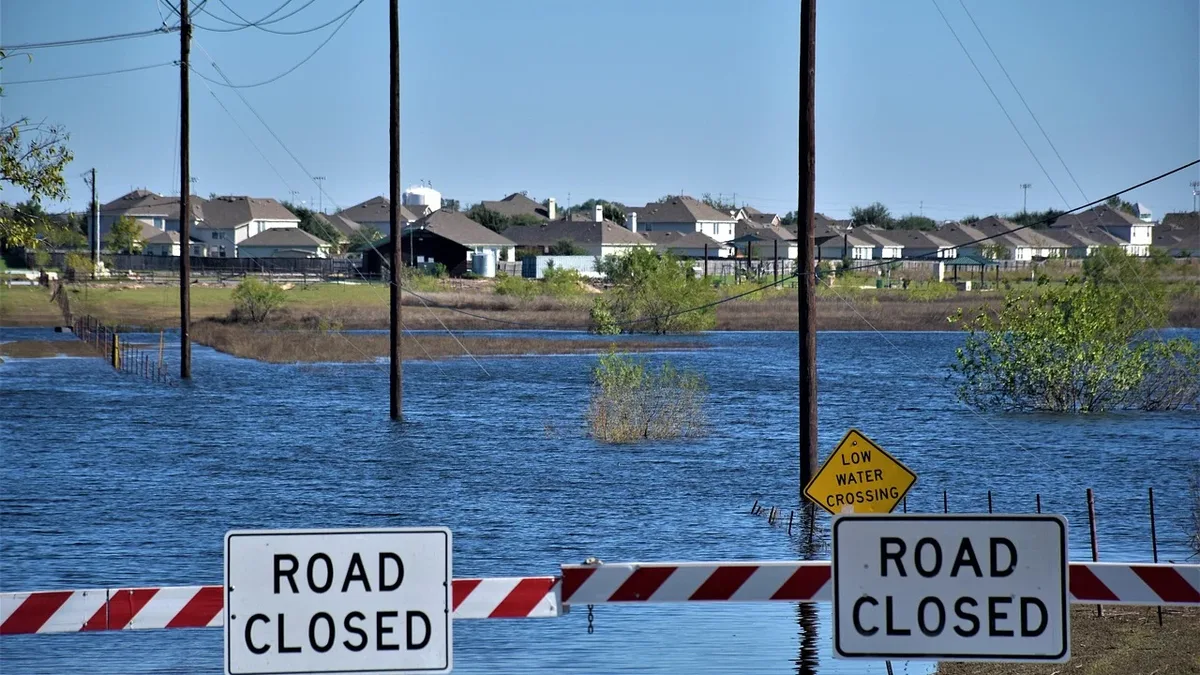
Flood alerts are in place across England as heavy rain and thunderstorms are forecast for the bank holiday weekend, with warnings of travel...
Yellow warnings remain in force as rain and thunderstorms hit parts of UK
A Met Office yellow warning for thunderstorms is active until 22:00 BST, covering large parts of England and Wales. Heavy rain of 20-30 mm in an hour...
Super El Niño Strengthens, Forecasts Reach Record Levels
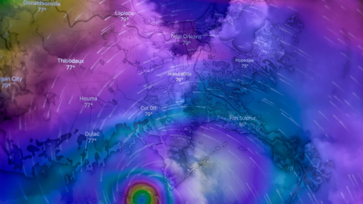
A rapidly intensifying Super El Niño in the tropical Pacific is pushing forecasts into historic territory for 2026-2027. Record-level westerly wind...