North Atlantic Oscillation
Origin and history
The North Atlantic Oscillation is a natural climatic phenomenon originating from atmospheric dynamics over the North Atlantic Ocean. Its existence was first documented in the early 20th century by Sir Gilbert Walker as part of his broader work on global atmospheric circulation patterns. Walker identified this specific oscillation while searching for predictors of monsoon variability, naming it in the 1920s. The phenomenon itself, however, is not a human creation but a fundamental and ancient feature of the Earth's climate system that has operated for millennia. Scientific understanding of the NAO deepened significantly in the latter half of the 20th century with the advent of modern meteorological instrumentation and data analysis. Its historical behavior has been further reconstructed using proxy data like tree rings and ice cores, revealing its influence on European climate over centuries.
What it is for
The North Atlantic Oscillation serves as a primary regulator of winter climate variability across the North Atlantic region and adjacent continents. It functions as a large-scale seesaw in atmospheric mass between a persistent subtropical high-pressure system near the Azores and a sub-polar low-pressure system near Iceland. The state of the NAO dictates the strength and direction of the prevailing westerly winds across the Atlantic. This directly controls the track, intensity, and number of storms reaching Europe, often referred to as storm steering. Consequently, it is a critical index for understanding and anticipating broad seasonal weather patterns, particularly regarding temperature and precipitation anomalies. Its primary utility is in explaining and contextualizing past and present weather extremes rather than providing specific short-term forecasts.
Pros and cons
A significant pro of the NAO is its utility as a robust, integrative index that simplifies complex atmospheric dynamics into a single, trackable number, valuable for climate research and seasonal outlooks. It provides a coherent explanation for seemingly disparate weather events across a vast geographical area, linking storms in Newfoundland to mild winters in Norway. However, a major con is its inherent unpredictability at seasonal timescales, as reliable prediction of its winter state remains a formidable scientific challenge, limiting its practical forecasting value. Furthermore, its influence is statistical and regional, meaning a positive NAO index guarantees neither a stormy UK winter nor absolves other climate patterns from causing extreme cold snaps. A common mistake is to over-interpret the NAO as a deterministic daily weather forecast tool, leading to public confusion when the expected pattern does not manifest locally. Researchers and operational meteorologists sometimes regret relying on its projected state for seasonal planning when sudden stratospheric warming events or other factors abruptly reverse its phase.
Who it suits
The NAO index primarily suits climatologists and research scientists studying long-term atmospheric variability and its links to other modes like the Arctic Oscillation. It is also suited for specialists in sectors with seasonal climate sensitivity, such as hydrology, energy demand forecasting, and agricultural planning, who use it for broad risk assessment. Environmental historians find it valuable for interpreting past climate records and societal impacts, like periods of famine or expansion linked to persistent NAO phases. However, it is less suited for the general public seeking precise weekend weather predictions or for emergency managers needing actionable storm warnings days in advance. It is a crucial tool for educators explaining the fundamental drivers of European and eastern North American climate beyond daily weather maps. Ultimately, it suits those who require a conceptual framework for understanding climate variability rather than those needing immediate operational weather guidance.
Latest North Atlantic Oscillation news
Latest reporting

September 2026 Nor'easter Triggers Coastal Flood and Wind
A long-duration nor'easter is bringing high winds, heavy rain, and significant coastal flooding to the Northeast and Mid-Atlantic, with warnings in...
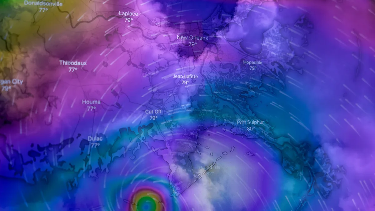
Atlantic Hurricane Season Sets Record for Latest First Storm
Tropical Storm Fay formed near the Azores on September 20, 2026, but the Atlantic basin remains without a hurricane, setting a modern-era record for...

New Polar Vortex Forms, With Winter 2026/2027 Disruption
A new Polar Vortex is forming over the North Pole, starting the 2026/2027 season stronger than last year. Long-range forecasts, however, signal a...
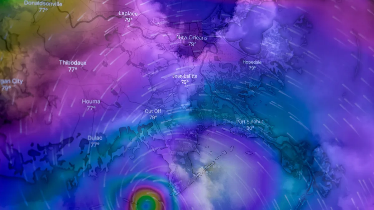
Climate Change Raises Hurricane Risks in Multiple Ways
A new analysis outlines ten potential ways climate change could worsen Atlantic hurricane impacts, from stronger winds and heavier rain to longer...
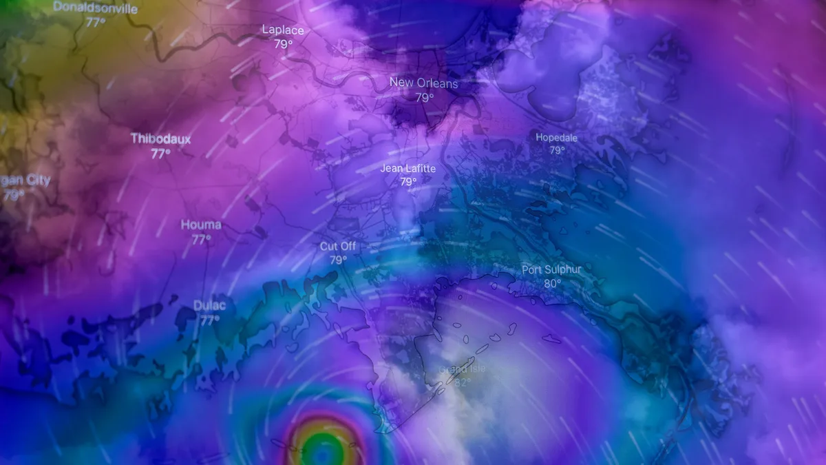
Super El Niño Builds Hurricane Shield for U.S. Coast
A powerful Super El Niño is creating an 'atmospheric hurricane shield' over the Atlantic, drastically reducing hurricane development and U.S.
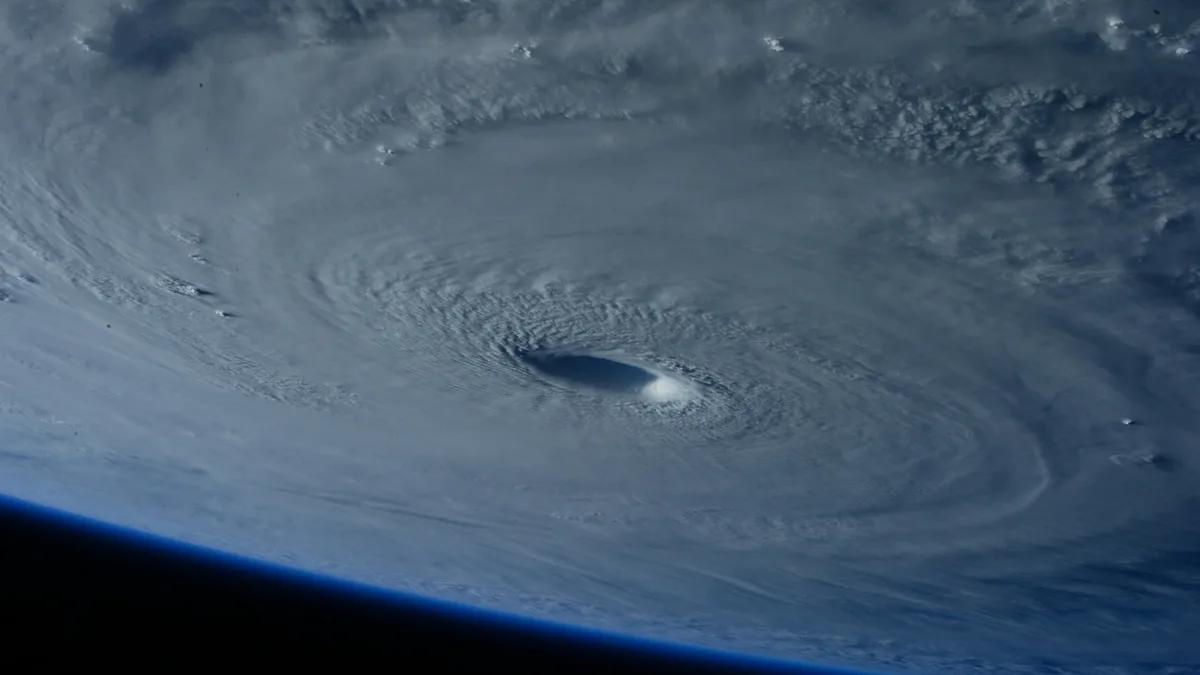
Atlantic hurricane season sets record for latest first
A new record for the latest date without an Atlantic hurricane forming is likely this week, driven by a historic El Niño and Saharan dust suppressing...