Strongest Gust
| Type of record | Peak wind speed |
|---|---|
| Measurement standard | Sustained wind measurement |
| Measurement location | Anemometer height |
| Wind speed unit | Knots, meters per second, or miles per hour |
| Warning trigger | Issuance threshold |
| Warning system | Regional meteorological authority |
| Purpose | Public safety alert |
| Impact | Structural damage, travel disruption |
Origin and history
The conceptual framework for the Strongest Gust metric was developed within operational meteorology to address a specific need in hazard analysis. Its development is not attributed to a single individual or nation but emerged from a collective focus on extreme wind events within forecasting communities. The parameter evolved from the practice of recording peak wind speeds during storms, which was a standard observational procedure. This data point gained formalized significance as meteorological agencies sought to improve the characterization of severe weather impacts. The integration of this metric into warning systems represents a shift towards impact-based forecasting methodologies. Its historical development is intertwined with advancements in anemometer technology and data logging capabilities, which allowed for more reliable capture of transient peak winds.
What it is for
The Strongest Gust is a measured parameter used to define the peak instantaneous wind speed recorded during a specific weather event. Its primary function is to provide a definitive, objective benchmark for the intensity of a wind event at a particular location. This measurement is critical for the operational evaluation of storms, as it quantifies the most severe moment of wind force experienced. It serves as a key input for post-event analysis and the verification of warnings issued by meteorological services. The value is used to categorize the severity of an event for historical records and climatological studies. Furthermore, it provides a concrete data point for engineers and planners assessing structural resilience to wind loads.
Pros and cons
A primary advantage of the Strongest Gust metric is its concrete, unambiguous nature, providing a single definitive figure for peak intensity that is easily communicated and compared. It is highly effective for documenting record-breaking events and for providing a clear threshold for warning verification. A significant drawback is that it represents only a fleeting moment, which may not accurately reflect the sustained damaging potential of a longer-period storm with slightly lower but persistent winds. Users sometimes mistakenly equate this instantaneous value with sustained wind speed categories, leading to misinterpretation of the overall storm hazard. The metric can also be misleading if the measurement site is unrepresentative, such as an exposed ridge, failing to convey conditions in surrounding areas. Those who regret its use are often planners who rely solely on it without considering duration, directional changes, or accompanying hazards like rainfall.
Who it suits
This parameter best suits operational meteorologists and emergency managers who require a clear, singular value to trigger predefined warning protocols and impact assessment matrices. It is highly suitable for engineers and forensic analysts who need a specific peak load figure for structural diagnostics and design code applications. Climatologists and researchers find it valuable for identifying trends in extreme wind events and for calibrating historical storm databases. Insurance adjustors may utilize the officially recorded Strongest Gust from a certified station as a objective datum for evaluating wind-related damage claims. It is less suited for public communication without careful contextual framing about duration and other risks. It is also poorly suited for agricultural or maritime interests, whose operations are more critically affected by sustained wind speeds and wave action over longer periods.
Latest Strongest Gust news
Latest reporting
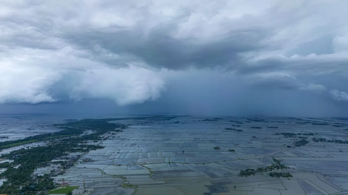
Super El Niño Intensifies Global Weather Extremes, Strains Climate Finance
The strongest El Niño in a millennium is peaking, worsening droughts and floods worldwide and exposing a critical shortfall in adaptation funding as...
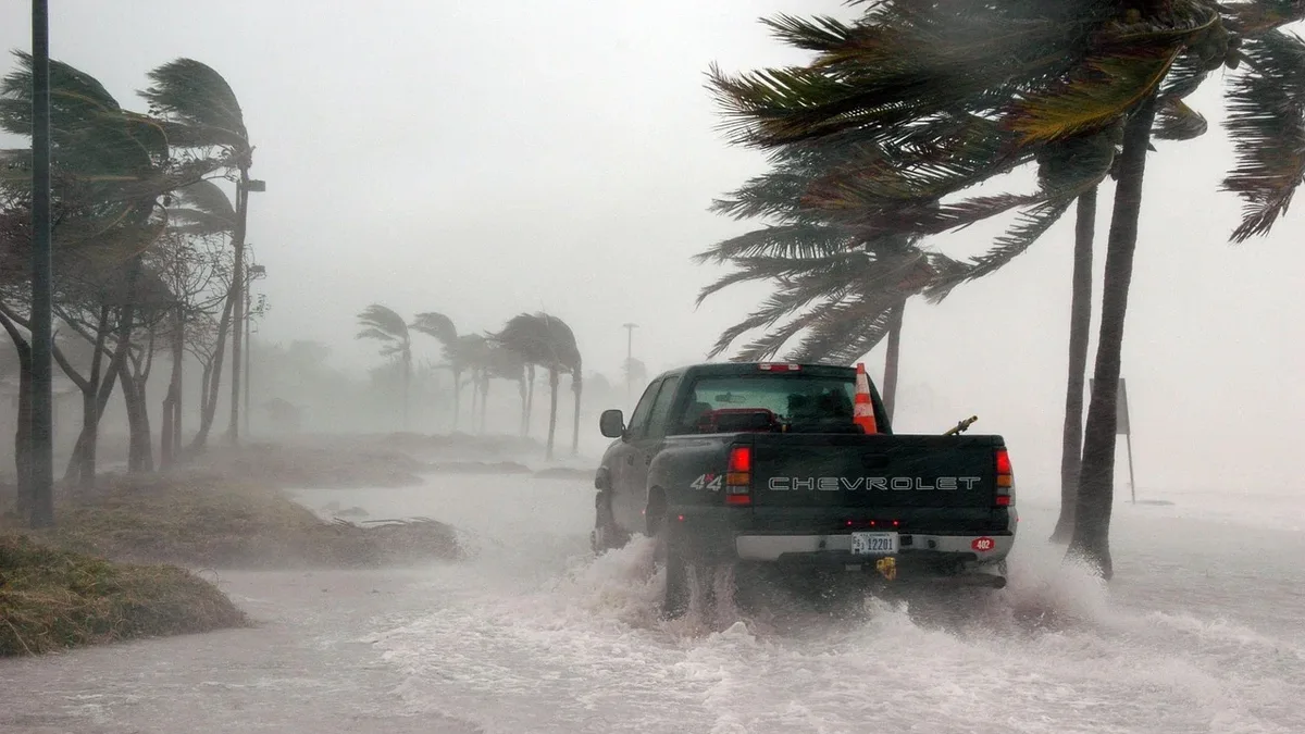
Super Typhoon Champi Hits Taiwan, Japan With 185mph Winds
Super Typhoon Champi, the strongest storm of 2026 with 185mph winds, caused one death and 527 injuries in Taiwan and Japan.
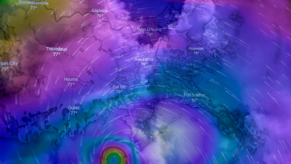
Super Typhoon Rosal Threatens Batanes With 200+ mm Rain
Super Typhoon Rosal, the strongest cyclone of 2026, brings Signal No. 2 warnings and over 200 mm of forecast rain to Batanes, Philippines.

El Niño hits record strength with uncertain UK winter impact
The ongoing El Niño event is among the strongest ever recorded and is still growing. While it can disrupt the polar vortex and increase UK snow...

UK weather turns cooler with wet and windy conditions
Low pressure systems are bringing cooler, wet, and windy weather to the UK this week, following a hot Sunday. Northern areas face the strongest winds...
Minister urges food stockpiling for extreme weather
A government minister warns households to stock up on food as the strongest El Niño in a generation develops.