Super Typhoon Rosal Threatens Batanes With 200+ mm Rain
Super Typhoon Rosal, the strongest cyclone of 2026, brings Signal No. 2 warnings and over 200 mm of forecast rain to Batanes, Philippines.
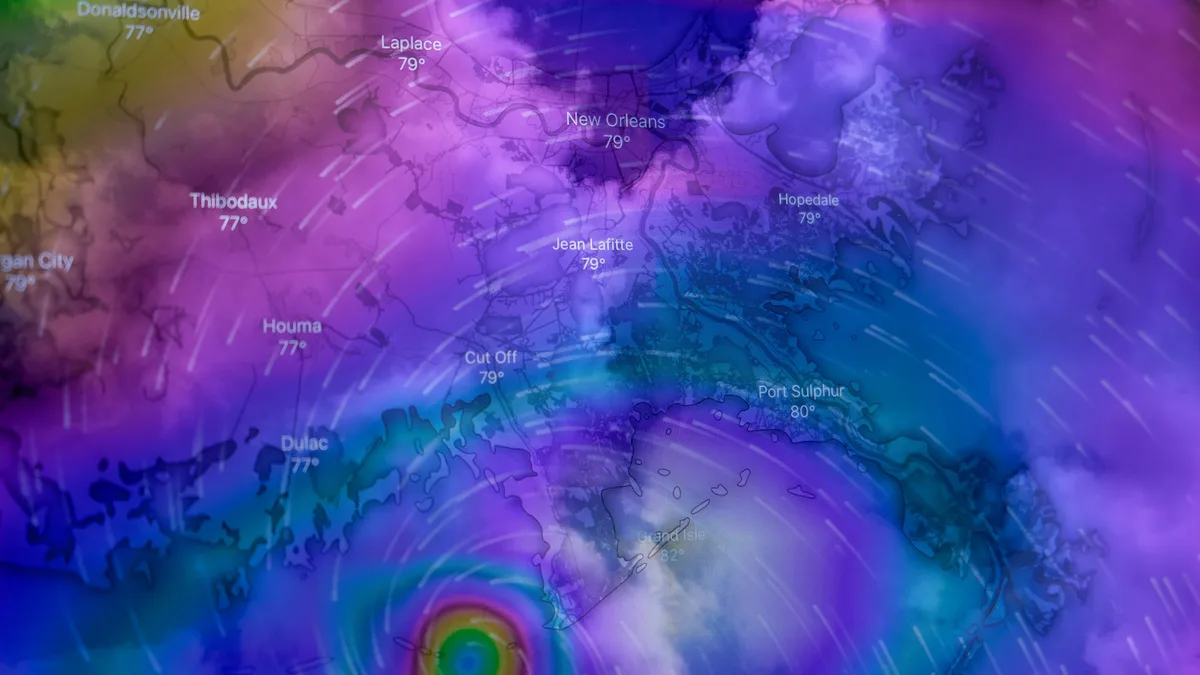
Super Typhoon Rosal reached Category 5 status with record 296 km/h winds on October 20, becoming the strongest tropical cyclone of 2026. The storm, named Rosal upon entering the Philippine Area of Responsibility, prompted Signal No. 2 warnings for Batanes as it threatens the region with extreme rainfall and destructive waves.
NASA’s MODIS program confirmed the peak intensity. The Joint Typhoon Warning Center stated, "Champi became the strongest tropical cyclone of 2026 by maximum sustained wind speed when it reached 296 km/h (185 mph) on October 20." The system weakened to 205 km/h sustained winds by October 21 but remained a severe threat.
Impact on Batanes
PAGASA maintained Tropical Cyclone Wind Signal No. 2 over Batanes on October 21, indicating winds of 62 to 88 km/h capable of causing minor to moderate impacts. The agency forecast waves reaching 10 meters along northern and eastern Batanes coasts.
Rosal's trough was already drawing scattered rain and thunderstorms over Catanduanes, Northern Samar, and Eastern Samar, with possible flash floods and landslides. The intertropical convergence zone and easterlies brought additional rain to Palawan, Batanes, and the Babuyan Islands.
The storm's center was expected to pass 370 km east of Basco, Batanes, on October 22 and 290 km east-northeast of Itbayat on October 23. PAGASA stated Rosal is unlikely to make landfall in the Philippines but will still affect parts of the country due to its size and intensity.
Forecasted Rainfall
Heavy rainfall is the primary concern. PAGASA forecast more than 200 mm of rain over Batanes from the evening of October 21 through the afternoon of October 22. A second period of rainfall exceeding 200 mm was forecast from October 22 afternoon into October 23, with potential for even higher totals on raised terrain.
Forecast rainfall for other areas is detailed below:
| Area | Forecast Rainfall (Oct 21-22) |
|---|---|
| Batanes | More than 200 mm (8 inches) |
| Babuyan Islands | 100-200 mm (4-8 inches) |
| Northern & Eastern Cagayan | 50-100 mm (2-4 inches) |
Signal Warnings and Preparations
In addition to Signal No. 2 in Batanes, Signal No. 1 was in effect for Cagayan, the Babuyan Islands, eastern Isabela, Ilocos Norte, Apayao, and northeastern Catanduanes. Philippine authorities, including the Department of Social Welfare and Development, positioned food and relief supplies in Batanes and other isolated communities. In Catanduanes, the Coast Guard suspended sea voyages and placed rescue teams on standby.
PAGASA advised residents to secure roofs and loose structures, clear drains, and prepare emergency go-bags. Fishing boats and small seacraft were advised not to venture out. A Gale Warning covered northern and eastern Luzon and eastern Visayas, advising all vessels to remain in port.
Coastal and Regional Risks
The storm's immense waves pose a severe coastal hazard. Beyond the 10-meter waves forecast for Batanes, the JTWC estimated significant wave heights near the cyclone's core at 19.8 meters. The system had already impacted Guam on October 18, passing just 16 km south of the island's southern tip. Guam International Airport recorded typhoon-force gusts near 129 km/h, causing a temporary radar outage and widespread power outages in southern Guam.
Forecast models show significant uncertainty in the typhoon's track after 24 hours. Physics-based models suggest a potential landfall in central or northern Taiwan, while AI models indicate a recurve toward Japan. The JTWC rated both track and intensity confidence as low throughout its five-day forecast.
Taiwan’s Central Weather Administration warned that Champi’s wind field could expand as it approaches, potentially leading to a sea warning. The Korea Meteorological Agency forecast the system would transition to a low-pressure system by October 26, bringing rain to parts of South Korea.
PAGASA expects Rosal to weaken into a typhoon by October 23 as it approaches Taiwan and continue weakening thereafter.