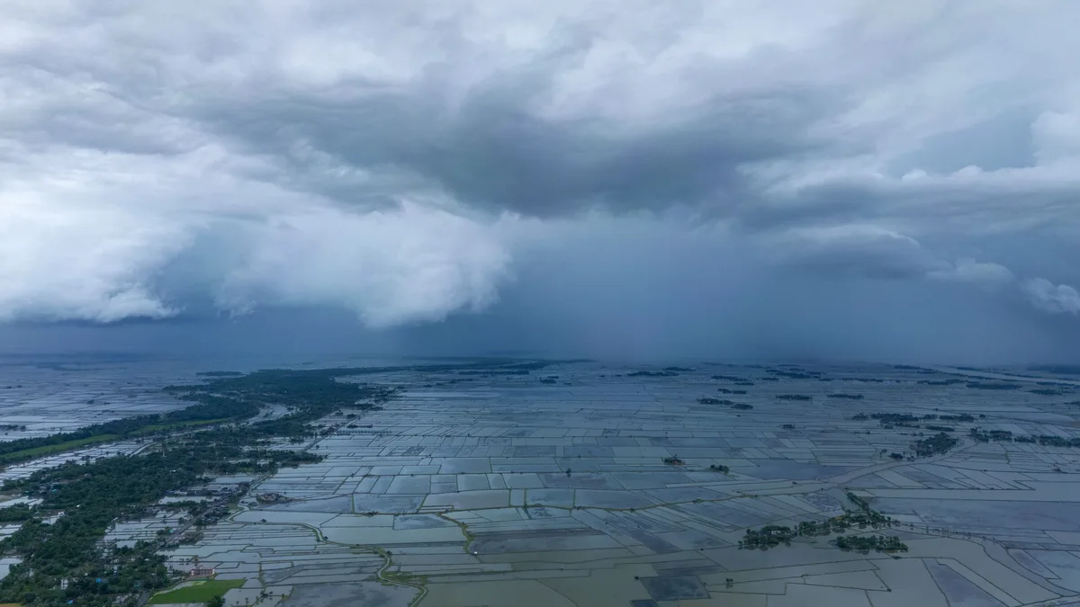
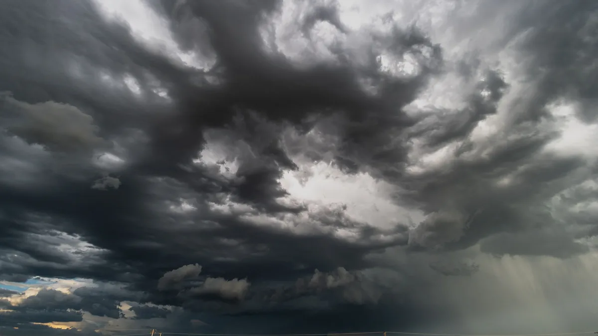
Storm Austen brings strong winds and heavy rain to UK and Ireland
Storm Austen is moving west to east across the UK and Ireland, bringing a yellow wind warning for southern areas with gusts over 70mph possible on coasts and widespread rain of 20-30mm.
Storm Austen arrived late on Thursday, bringing strong winds and heavy rain across the UK and Ireland. The Met Office issued a yellow severe weather warning for strong wind from midnight to midday on Friday covering south-west England and southern Wales.
The storm will move west to east throughout Friday, with wind speeds gradually decreasing later in the day. A Met Office spokesperson confirmed the storm will move west to east through Friday with winds diminishing later in the day and rain totals of 20-30mm in many places with higher totals possible over higher ground. The storm will move toward the North Sea late on Friday.
Wind risks and warnings
A yellow severe weather warning for strong wind is in effect until midday on Friday. The warning affects parts of London, south west England, Wales and the West Midlands.
Met Office Deputy Chief Forecaster Tom Crabtree stated that the exact track and position of Storm Austen is still being determined. He said peak gusts in excess of 70mph are possible on the most exposed coastal areas, while 50-60mph are likely more widely within the warning area. The strongest gusts are expected on Friday morning.
The Met Office named Storm Austen as the area of low pressure bringing disruptive wind and rain. Storm naming helps communicate risks from severe weather more effectively. A named storm provides a clear focus for forecasts and warnings, helping people understand potential impacts. Weather warnings are under constant review and may be updated as confidence increases.
Rain impacts and spread
Heavy rain from Storm Austen spread eastwards across Ireland from Thursday evening. A nationwide Yellow rainfall warning was in effect for Thursday night and Friday morning. Rainfall is predicted at 20-30mm in many areas, with higher totals possible over raised terrain.
An active weather front brought heavy rain overnight, leading to a Status Yellow rain warning for Dublin and Wicklow from 1am until 8am on Friday. The south of Ireland was expected to feel the worst impacts, with possible upgraded warnings. Rainfall is expected to clear by 8am on Friday, followed by blustery showers.
Further unsettled conditions
Further unsettled weather with wind and rain is likely through the weekend and into the start of next week. The heaviest rain is more likely in western areas. On Saturday, another area of rain is set to sweep across the UK. The weather is likely to stay unsettled through the long weekend, including Bank Holiday Monday. Temperatures are expected to be average for this time of year, possibly in the low double digits.
Storm Austen is the first named storm of the season. The Met Office storm year runs from September to August. This year's list begins with Austen and continues with Boelo, Chloe, Dano and Evelyn, ending at W with Wende. The letters Q, U, X, Y and Z are not used in storm names. Names are decided by the Met Office in conjunction with Met Éireann and KNMI. Austen was selected by Met Éireann in honour of Austen Nagle, the first director of the service.
The storm will move toward the North Sea late on Friday, with rain clearing by 8am followed by blustery showers.