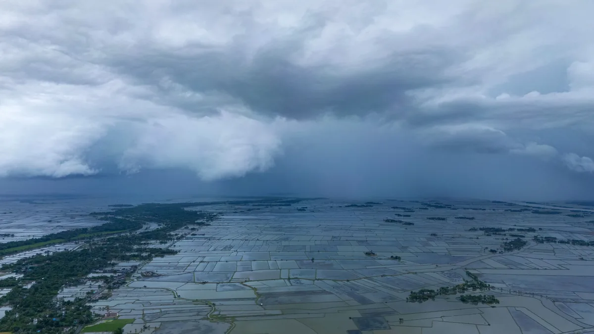
Changing Rainfall Intensity And Flash Flooding
| Country of origin | United States |
|---|---|
| First created | Late 20th century |
| Original use | Public safety warning and risk communication |
| Triggering conditions | Intense, short-duration rainfall |
| Primary hazard | Rapid onset flooding |
| Typical lead time | Minutes to a few hours |
| Commonly affected areas | Urban areas, burn scars, steep terrain |
| Key risk factor | Rainfall rate exceeding soil infiltration capacity |
Origin and history
The scientific study of changing rainfall intensity and its link to flash flooding emerged as a distinct field of hydrometeorology in the late 20th century, primarily in the United States and Europe. Its development was driven by the need to move beyond simple rainfall totals and understand the critical role of rainfall *rate* in flood generation. Research was catalyzed by several high-profile and devastating flash flood events, such as the 1976 Big Thompson flood in Colorado, which highlighted the limitations of existing warning systems. The formalization of this concept within operational forecasting owes much to advances in weather radar technology, particularly the deployment of Doppler radar networks in the 1990s, which allowed for real-time estimation of rainfall intensity. This period also saw the development of quantitative precipitation estimation (QPE) and forecasting (QPF), which provided the foundational data. The integration of these meteorological observations with hydrological models of small watersheds completed the framework for analyzing this specific hazard.
What it is for
This warning concept exists to provide advance notice of a specific, acute hydrological threat caused by very heavy rain falling in a short period over a vulnerable area. Its primary purpose is to protect life and property by triggering emergency response and public action before water levels rise dangerously. It is specifically designed for flooding that begins within minutes to a few hours of the intense rainfall, distinguishing it from warnings for river flooding which may develop over days. The system aims to identify situations where storm drainage, small streams, and dry washes cannot absorb or channel the sudden influx of water. It serves to alert residents in flood-prone zones, such as burn scars, urban areas with impervious surfaces, and steep terrain, to the imminent danger. Ultimately, it is a tool for risk communication, translating complex meteorological forecasts into a clear call for immediate protective actions like seeking higher ground.
Overview
Changing rainfall intensity and flash flooding describes a dynamic atmospheric and hydrological process where the key hazard is not the total rain amount, but how rapidly it falls. Meteorologically, it involves convective weather systems, like thunderstorms or training storm cells, that produce rainfall rates exceeding the infiltration capacity of the local soil. Hydrologically, this intense runoff quickly concentrates into a violent flow of water that surges through channels, canyons, and streets. The warning system monitoring this uses radar-derived precipitation algorithms, rain gauge networks, and satellite data to detect these high-intensity rainfall cores in real time. This data is integrated with flash flood guidance models, which pre-calculate the rainfall amount over a specific duration needed to cause flooding in particular small basins. When observed or forecast rainfall meets or exceeds these local thresholds, official warnings are issued by national meteorological services like the National Weather Service.
What to know
Flash floods are among the deadliest weather-related hazards, often occurring with startling speed and catching people unaware. Rainfall intensity is measured in inches per hour or millimeters per hour, and even a relatively small storm total can cause flooding if it falls fast enough, such as two inches in one hour. The topography of the area is a critical multiplier; steep slopes, narrow canyons, and urban environments dramatically accelerate runoff and increase danger. Recent wildfire burn scars are exceptionally vulnerable, as the fire creates a water-repellent soil layer that leads to extreme and immediate runoff. A warning means the conditions are occurring or are imminent, while a watch means conditions are favorable; a warning requires immediate action. Vehicles are extremely hazardous in flash flooding, as just two feet of moving water can sweep away most cars, and many fatalities occur when people attempt to drive through flooded roadways.
Common questions
What is the difference between a flash flood warning and a flood warning? A flash flood warning is for flooding expected within six hours, often much sooner, due to intense rainfall, while a flood warning typically covers longer-duration flooding along larger rivers. How much rain does it take to cause a flash flood? There is no universal number; it depends entirely on local soil saturation, terrain, and ground cover, which is why meteorologists use location-specific flash flood guidance values. Why do warnings sometimes seem to cover a large area? While the intense rain may be highly localized, the warning polygon must account for storm movement and uncertainty, often encompassing downstream areas that will receive the runoff. Can flash floods happen in cities far from streams? Yes, urban flash flooding is common as paved surfaces generate rapid runoff that overwhelms storm drains and floods streets and underpasses. Why might it not be raining heavily at my location during a warning? You could be in a downstream area targeted for the runoff, or the intense cell may be just upstream of your position. Are flash floods only caused by rain? While rainfall is the primary cause, flash flooding can also result from dam or levee failures, or sudden ice jam releases, though these are less common.
Pros and cons
The major pro of this warning paradigm is its focus on the most critical factor, rainfall rate, which allows for targeted, life-saving alerts for rapidly evolving threats that general forecasts miss. It leverages modern technology effectively, using radar to detect dangerous rainfall in near-real-time and model guidance to tailor alerts to local watershed vulnerability. However, a significant con is the inherent difficulty in precise pinpoint forecasting; the exact location of the most intense rain cell is hard to predict, leading to warnings that can be either too broad, causing warning fatigue, or too narrow, missing affected areas. The system also struggles with communication, as the public often underestimates the danger from what seems like a modest amount of rain or fails to understand the speed of onset. Another flaw is its dependency on accurate flash flood guidance values, which can be outdated if land use changes, like after a wildfire, and may not account for real-time soil moisture with perfect accuracy. Those who regret relying solely on it are often in complex terrain where radar coverage is poor or in locations where small-scale variability defeats the model guidance, leaving them with minimal lead time.
Who it suits
This warning system is ideally suited for emergency managers and first responders who need a specific, actionable trigger to activate response plans, such as closing roads or preparing swift-water rescue teams. It is critical for residents living in high-risk geographic settings, including those near small streams in steep terrain, in recently burned wildfire areas, in slot canyons, or in low-lying urban zones with known drainage problems. It also suits the operational needs of meteorologists at forecast offices, providing them with a structured framework and objective tools to issue consistent, defensible warnings for a chaotic phenomenon. Furthermore, it is valuable for media broadcasters and mobile alert systems that require a clear, official product to relay to the public with urgent instructions. It is less suited for those in regions dominated by large-river flooding, where longer-term forecasts are more relevant, or for individuals who expect absolute geographic precision and become desensitized by warnings for nearby areas that do not directly affect them every time.
Latest Changing Rainfall Intensity And Flash Flooding news
Latest reporting
Prince William advocates tree planting and farming for Welsh
The Prince of Wales visited flood-hit communities in Monmouthshire, where he heard how extreme flooding is now an annual event.
Nepal landslides kill 30, force trekker
Heavy rain triggered deadly landslides and flooding in Nepal, killing about 30 people and affecting thousands.

Hurricane Polo makes landfall in Baja California Sur
Hurricane Polo struck Mexico's Pacific coast near Las Barrancas with 110 mph winds, bringing life-threatening flooding and storm surge.

Hurricane Polo threatens Baja California Sur with flooding
Hurricane Polo, a major Category 3 storm, is approaching Baja California Sur with 115 mph winds, bringing life-threatening flooding risks.
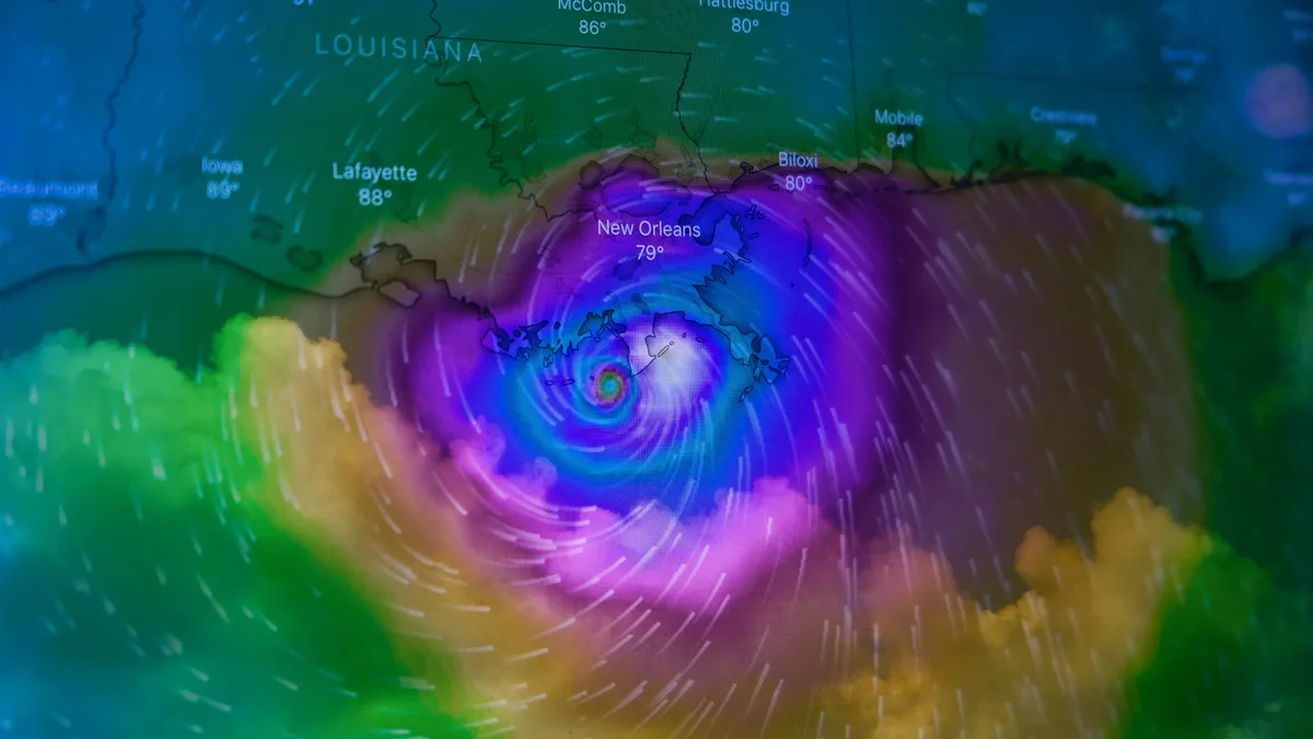
Hurricane Polo Makes Landfall in Baja California Sur
Hurricane Polo made landfall in Baja California Sur as a Category 2 storm late September 28, bringing heavy rain and flash flood risks to northwest...
Nor'easter Brings Coastal Flooding and Power Outages
A powerful, slow-moving nor'easter is battering the northeastern US with severe coastal flooding, damaging winds, and heavy rain, prompting states of