Three killed in Navajo Nation flash floods
Two adults and a child drowned in floodwaters near Newcomb, New Mexico, on September 16, 2026. The deaths occurred as the Navajo Nation maintained a state of emergency due to severe monsoon storms and widespread flooding.
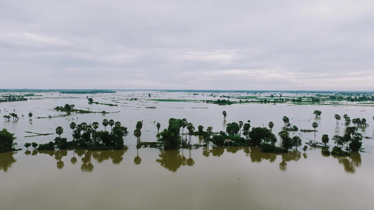
Two adults and a juvenile drowned after being swept away by flash flooding near Newcomb, New Mexico, early on September 16, 2026. The Navajo Nation Commission on Emergency Management (CEM) stated the victims were members of one family who died during an active flash flood in the Northern Agency.
Police received a report at approximately 00:30 MDT that people had been washed away. A multi-agency search involving the Navajo Police Department, fire and rescue crews from Newcomb and Shiprock, emergency medical services, and volunteer teams later recovered the three victims.
State of Emergency Reaffirmed
The fatalities occurred amid a Navajo Nation-wide state of emergency for severe monsoon storms, flash flooding, and infrastructure damage. The Navajo Nation Council and the CEM reaffirmed Resolution No. CEM 26-004 on September 15, the day before the deaths, maintaining the emergency declaration.
Response operations continued with personnel from police, fire, emergency management, and local chapters. Navajo Department of Transportation crews were deployed to communities affected by flooding and severe road washouts.
A preliminary assessment identified U.S. Highway 191 between mileposts 451 and 456 as a primary impacted area. The CEM reported that evacuations were conducted overnight, and Sanostee Day School and Tohaali Community School remained closed for the rest of the week.
Monsoon Moisture and Storm Dynamics
The deadly flooding was driven by a deep, late-season monsoon moisture surge across the Southwest. On September 16, the National Weather Service said a low-pressure system near northern California and high pressure over the southeastern U.S. Were drawing subtropical moisture northward into western New Mexico.
The atmosphere contained unusually high amounts of water vapor. Precipitable water values reached approximately 25-33 mm (1-1.3 inches), among the highest recorded for the date.
| Measurement | Value |
|---|---|
| Precipitable Water | 25-33 mm (1-1.3 inches) |
| Rain Rate (strongest storms) | ~25 mm (1 inch) in 30 minutes |
| Forecast Additional Rain (by Sept. 17 daybreak) | 38-51 mm (1.5-2 inches) or more |
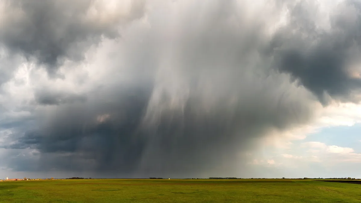
Daytime heating helped new thunderstorms develop over already wet ground. The Weather Prediction Center (WPC) said moist southerly winds and a disturbance over southern Arizona helped sustain the storms. The abundant moisture and unstable air allowed the strongest cells to produce intense rainfall.
Continued Flood Threat and Warnings
The flood threat persisted into September 17. The WPC forecast an additional 38-51 mm (1.5-2 inches) or more of rain could fall in parts of the region before daybreak, maintaining a Slight Risk of excessive rainfall for parts of the Southwest.
Although fewer storms were expected later in the day, atmospheric moisture remained unusually high, raising the possibility of further heavy rain across New Mexico and neighboring states. Repeated rainfall had saturated soils in parts of northern and central New Mexico by early September 17, increasing runoff from any new storms.
The CEM urged residents to avoid all flooded areas. “Never attempt to walk, swim, or drive through floodwaters,” CEM Chairman Marcarlo Roanhorse said. The commission warned that floodwater can conceal washed-out roadways, debris, and other hazards. The WPC identified normally dry washes, arroyos, narrow canyons, and wildfire burn scars as particularly vulnerable to sudden flooding.