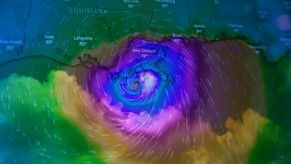
Tropical Storm Dujuan threatens Japan with heavy rain
Tropical Storm Dujuan is skirting Japan's coast and is forecast to restrengthen into a typhoon, bringing heavy rain and evacuation warnings to the Izu

Tropical Storm Dujuan is skirting the coast of Japan and is expected to restrengthen into a typhoon by Tuesday morning. The storm could bring sustained winds of 80mph and gusts approaching 100mph.
Although the storm is avoiding a direct hit on mainland Japan, its path takes it across the Izu Islands, where evacuation warnings are in place. Widespread alerts are in effect for heavy rain, flooding, and landslides. High waves also pose a threat to exposed coastal areas.
Heavy rainfall warnings
Some areas are forecast to receive exceptional rainfall totals. Southern coasts of the Chubu and Kanto regions could see about 200mm of rain in just 24 hours. This is roughly equivalent to the average rainfall for the entire month of September.
The Tokyo metropolitan area is among the zones facing the heaviest downpours. Some weather models suggest nearly 90mm could fall within six hours on Monday evening. Further south, the Izu peninsula could receive more than 80mm in just three hours. That amount represents 38% of the month's usual rainfall in a single evening.
Storm track and context
Dujuan briefly reached typhoon status on Friday before weakening back to a tropical storm on Sunday. The storm is expected to continue moving north-eastwards before dissipating in the north-west Pacific later this week.
Meanwhile, the Atlantic hurricane season remains unusually quiet. Tropical Storm Fay developed south-west of the Azores over the weekend but is not expected to strengthen further. This extends the record for the latest first hurricane to form in a hurricane season during the satellite era.
The previous record date was 11 September, set in 2002 with Hurricane Gustav and equalled in 2013 with Hurricane Humberto.
Heatwave in south-west Europe
In a separate weather development, south-west Europe is bracing for a late-summer heatwave this week. Temperatures across Spain and Portugal will rise significantly above the monthly norm, reaching the low to mid 30s Celsius.
Even in north-west Spain, in Santiago de Compostela, highs could reach about 35C on Tuesday. This is about 12C above the typical daytime high for the area. The warmth is expected to spread into central Europe heading into the weekend, though likely with less intensity than earlier in the week across the Iberian peninsula.