Aviation Forecasts
| Subject | Aviation Forecasts (weather system and warning) |
|---|---|
| Original use | To alert pilots and aviation personnel of hazardous or rapidly changing weather conditions. |
| First created | Early 20th century |
| Issuing authority | National meteorological service (e.g., NWS in the US) |
| Validity period | Varies (e.g., 2 to 6 hours) |
| Coverage area | Specific geographic region or route |
| Warning types | Ceiling, visibility, wind, turbulence, icing |
| Issuance trigger | Observed or imminent deterioration below defined thresholds |
| Dissemination method | Text bulletin via aviation communication systems |
Origin and history
Aviation weather forecasting originated in the early 20th century alongside powered flight, with pilots relying on basic surface observations. Systematic development began in the 1920s and 1930s as airmail and commercial routes expanded, creating a demand for route-specific weather information. The need for standardized international procedures became critical during and after World War II due to the surge in global military and civilian air traffic. The International Civil Aviation Organization, established in the mid-1940s, later codified global standards for meteorological service for international air navigation. National meteorological services, such as the United States Weather Bureau and the UK Met Office, developed dedicated aviation units to produce these specialized forecasts. The advent of computer-based numerical weather prediction in the latter half of the 20th century fundamentally enhanced the accuracy and lead time of aviation weather products.
What it is for
Aviation forecasts are specifically designed to provide pilots, dispatchers, and air traffic controllers with the critical meteorological information needed for flight planning and safe execution. Their primary purpose is to identify and communicate hazards that could affect aircraft performance, passenger comfort, and operational efficiency. These hazards include low visibility, icing, turbulence, thunderstorms, and strong crosswinds at airports. The forecasts support decision-making for route selection, altitude assignment, fuel loading, and the potential need for alternate destinations. They are integral to the formal flight planning process, required for filing a flight plan for most commercial and instrument flight rules operations. Furthermore, they enable air traffic management to anticipate and mitigate weather-related congestion and delays across the airspace system.
Overview
An aviation forecast is a suite of standardized textual and graphical products issued by authorized meteorological offices. Key products include Terminal Aerodrome Forecasts (TAFs), which provide detailed weather predictions for a specific airport over a 24 to 30-hour period. Area forecasts, such as the Aviation Forecast (FA) in the US, describe en-route weather phenomena like icing, turbulence, and cloud layers over a broad region. Significant Meteorological Information (SIGMET) and Airman's Meteorological Information (AIRMET) are urgent advisories issued for hazardous conditions affecting all aircraft or smaller aircraft, respectively. Graphical products include weather depiction charts, radar and satellite composites, and forecasts for volcanic ash and tropical cyclones. These products use a globally standardized code and terminology to ensure unambiguous interpretation by international users.
What to know
Aviation forecasts are based on models and observations but are ultimately interpreted and amended by human meteorologists specializing in aviation. They have defined valid periods and issue times, and are updated at regular intervals or when conditions change abruptly, making it crucial to use the latest issuance. The terminology is precise; for example, "PROB30" indicates a 30% probability of a specific weather event occurring, and ceilings are reported as heights above ground level. Forecasts assume a certain level of pilot knowledge and are not standalone tools; they must be used in conjunction with real-time pilot reports and in-flight weather data. Legal responsibility for weather avoidance rests with the pilot-in-command, making the forecast a key planning tool but not a guarantee. Understanding the limitations of forecasting, particularly for convective weather and localized fog, is essential for risk assessment.
Common questions
What is the difference between a TAF and a METAR? A METAR is an observation of current weather at an airport, while a TAF is a forecast of expected weather at that airport. How far in advance are aviation forecasts reliable? While some products extend further, the most reliable detail for critical elements like ceilings and visibility is typically within the first 6 to 12 hours of the forecast period. Why do forecasts sometimes differ from what is encountered in flight? Weather is inherently variable, and forecasts represent the most probable scenario for an area, which may not capture highly localized or rapidly developing phenomena. What does "VFR conditions not expected" mean in an area forecast? It means meteorological conditions are forecast to be below the minimums required for visual flight rules, necessitating an instrument flight rules flight plan. Where can a pilot access these forecasts? Authorized sources include government aviation weather websites, flight service stations, and commercial aviation data providers. How is turbulence forecast? Forecasters use model data on wind shear, temperature gradients, and mountain wave activity to predict areas of potential light, moderate, or severe turbulence.
Pros and cons
The primary pro is that aviation forecasts provide a systematic, standardized, and essential risk-assessment framework, allowing for proactive rather than reactive decision-making. They consolidate vast amounts of meteorological data into a format tailored for operational use, increasing overall flight safety. A significant con is that users can develop over-reliance, treating the forecast as an infallible script rather than a probabilistic guidance tool, leading to poor in-flight decisions when actual conditions differ. Another drawback is that the textual format of core products like TAFs and FAs can be dense and require memorization of codes, creating a barrier to quick interpretation under pressure. Forecasts for certain phenomena, like clear-air turbulence or the precise onset of fog, remain inherently uncertain, which can lead to unnecessary diversions or unexpected encounters. A common mistake is using an outdated forecast or failing to check the subsequent amendment, which can result in planning based on invalid information.
Who it suits
This system suits professional pilots, dispatchers, and air traffic controllers who are trained in decoding meteorological abbreviations and applying the information to operational parameters. It is indispensable for any flight conducted under instrument flight rules, where regulatory requirements mandate its use in the formal flight planning process. Airlines and cargo operators rely on it for efficient fleet routing, fuel economy, and schedule integrity. Student pilots learning instrument procedures must become proficient in interpreting these forecasts as a core competency. It is less suited to casual visual flight rules pilots who may find the coded format cumbersome without dedicated training, though understanding its elements remains a safety benefit. Ultimately, it suits any aviation stakeholder who requires a structured, official, and internationally recognized method for integrating weather into aviation safety management.
Latest Aviation Forecasts news
Latest reporting

El Niño hits record strength with uncertain UK winter impact
The ongoing El Niño event is among the strongest ever recorded and is still growing. While it can disrupt the polar vortex and increase UK snow...

New Polar Vortex Forms, With Winter 2026/2027 Disruption Possible
A new Polar Vortex is forming over the North Pole, starting the 2026/2027 season stronger than last year. Long-range forecasts, however, signal a...

El Niño to bring wetter, warmer autumn to UK
The Met Office forecasts a wetter and warmer-than-normal autumn for the UK, driven by a strengthening El Niño event.
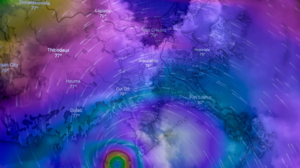
Super El Niño Strengthens, Forecasts Reach Record Levels
A rapidly intensifying Super El Niño in the tropical Pacific is pushing forecasts into historic territory for 2026-2027. Record-level westerly wind...
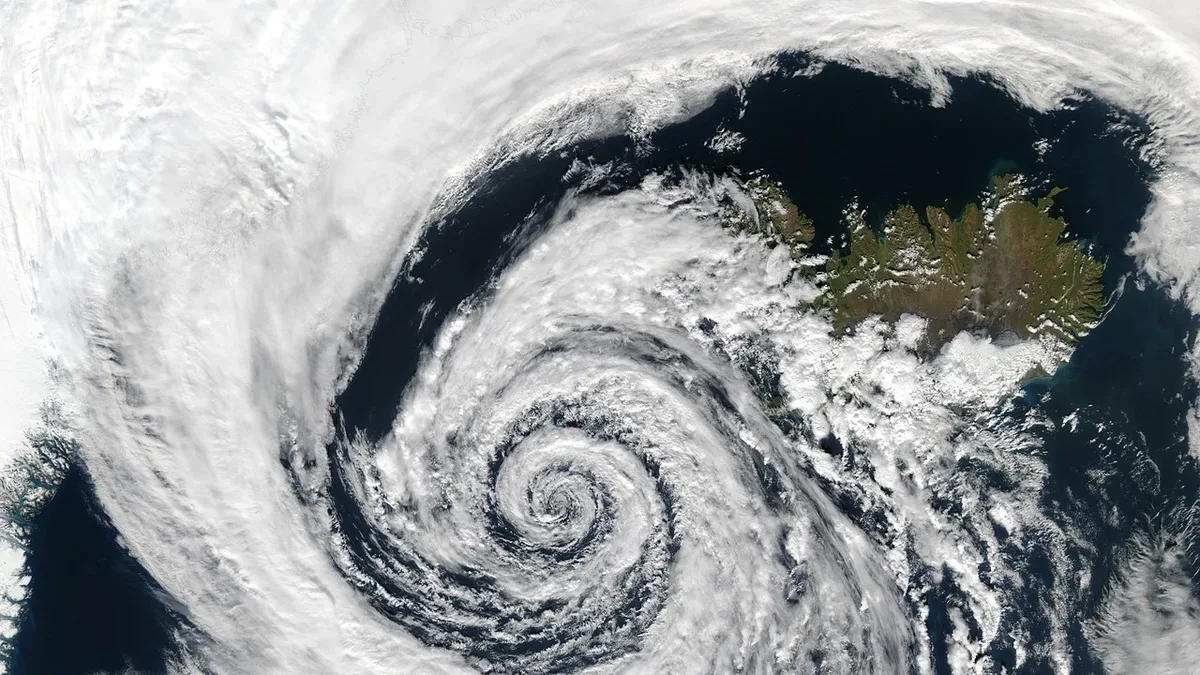
England and Wales Record Driest July as Dry Spell Persists
England and Wales experienced their driest July on record, with minimal rainfall leading to extreme dryness and high temperatures. Forecasts suggest...