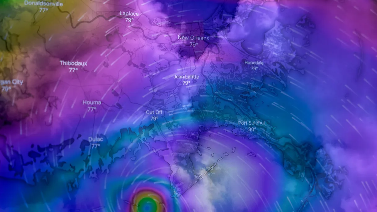
New Polar Vortex Forms, With Winter 2026/2027 Disruption
A new Polar Vortex is forming over the North Pole, starting the 2026/2027 season stronger than last year. Long-range forecasts, however, signal a significant mid-winter slowdown, raising the risk of disruptive weather patterns across North America and Europe.
A new Polar Vortex is forming over the North Pole, with rapid stratospheric cooling and a pressure drop already visible. According to analysis from Severe Weather Europe, it is starting the season stronger than last year, but long-range forecasts show a very different signal for Winter 2026/2027. Seasonal trends agree on a notable slowdown of the Polar Vortex around mid-winter, with weakening winds and rising pressure in the stratosphere.
A strong Super El Niño developing in the Pacific adds another factor affecting the Polar Vortex's winter development. The article examines what a major disruption or collapse could bring for winter weather across the United States, Canada, and Europe.
The Engine of Winter Circulation
The Polar Vortex is the broad winter circulation over the Northern Hemisphere. It acts like a spinning wall over the polar regions, rising from the surface into the stratosphere and keeping cold polar air contained. The vortex is divided into two layers: the stratosphere and the troposphere. The upper stratospheric part is more symmetrical and stronger, spinning freely high above the ground.
The lower structure is much more uneven and wobbly. Terrain, mountains, and strong pressure systems act as obstacles, creating wave-like distortions. Cold arms extending from the vortex can push colder air and snowfall into lower latitudes, fueling strong winter storms and Arctic outbreaks.
The most impactful disruptions often come from a Sudden Stratospheric Warming event. In these dramatic winter events, temperatures high in the stratosphere increase by several tens of degrees in just a few days, accompanied by a pressure rise. This rapid warming can weaken the Polar Vortex's strong winds or cause them to reverse, affecting the lower atmosphere.
A Strong Start for Winter 2026/2027
In the stratosphere, cooling usually starts in August and intensifies through September and October. This creates a strong temperature difference versus warmer southern areas, causing pressure to drop and a cyclonic Polar Vortex to develop. Current forecasts show ongoing cooling over the North Pole, with a cold core starting to form.
A cold core is the heart of the Polar Vortex; the colder it gets, the stronger the vortex can become. Pressure is also dropping rapidly. Analysis shows a visible low-pressure core with a well-defined closed center already developed over the polar regions. This is the brand new Polar Vortex growing for the upcoming winter.
Late-month forecasts show the Polar Vortex becoming more developed, rapidly increasing in size and depth. As pressure drops, it increases the vortex's wind speed and depth. Wind forecasts for the mid-stratosphere show a clear circular or donut-shaped wind stream, indicating the vortex is organizing properly. However, latest trends suggest it will likely have a bumpy winter season and lose strength.
Forecast: From Strength to Slowdown
When forecasting the stratospheric Polar Vortex, analysts try to determine which mode it is in. The stratosphere is sensitive to vertical wave energy from below, which determines the vortex's behavior and strength.
A strong Polar Vortex usually means strong polar circulation and jet stream. This can trap colder air within the Arctic Circle, creating milder conditions for most of the United States and Europe. A weak Polar Vortex can disrupt the jet stream pattern. It then has a harder time containing cold air, which can escape more freely into mid-latitude regions.
The most common way to monitor Polar Vortex strength is by observing wind speeds around the polar circle. Strong positive westerly winds indicate stable conditions. Weak or negative easterly winds indicate a complete reversal and breakdown.
The latest extended forecast shows normal to perhaps above-normal Polar Vortex strength currently, expected to drop to around normal in October. This is fairly typical for early Fall. Seasonal forecast data, however, shows a dramatic change expected. It indicates a stronger Polar Vortex in early winter, followed by a clear deceleration and a potential disruption trend starting in early January.
The forecast line goes far below the long-term average and the model's own normal, indicating a power drop for the Polar Vortex in January and February 2027. Inspecting pressure anomalies over the Polar regions provides another view. A seasonal pressure forecast shows a low-pressure anomaly in early winter, indicating a stronger early Polar Vortex.
The main focus is on a strong high-pressure anomaly in the middle and lower stratosphere extending downward. This clearly indicates a Polar Vortex slowdown and disruption around mid-winter. An analysis of the actual mid-stratosphere pressure anomaly forecast for January 2027 supports this trend of rising pressure and a weakening vortex structure.