Arizona faces flash-flood risk from heavy
The Weather Prediction Center has issued a Moderate Risk for excessive rainfall across parts of Arizona on September 16, 2026, warning of dangerous flash
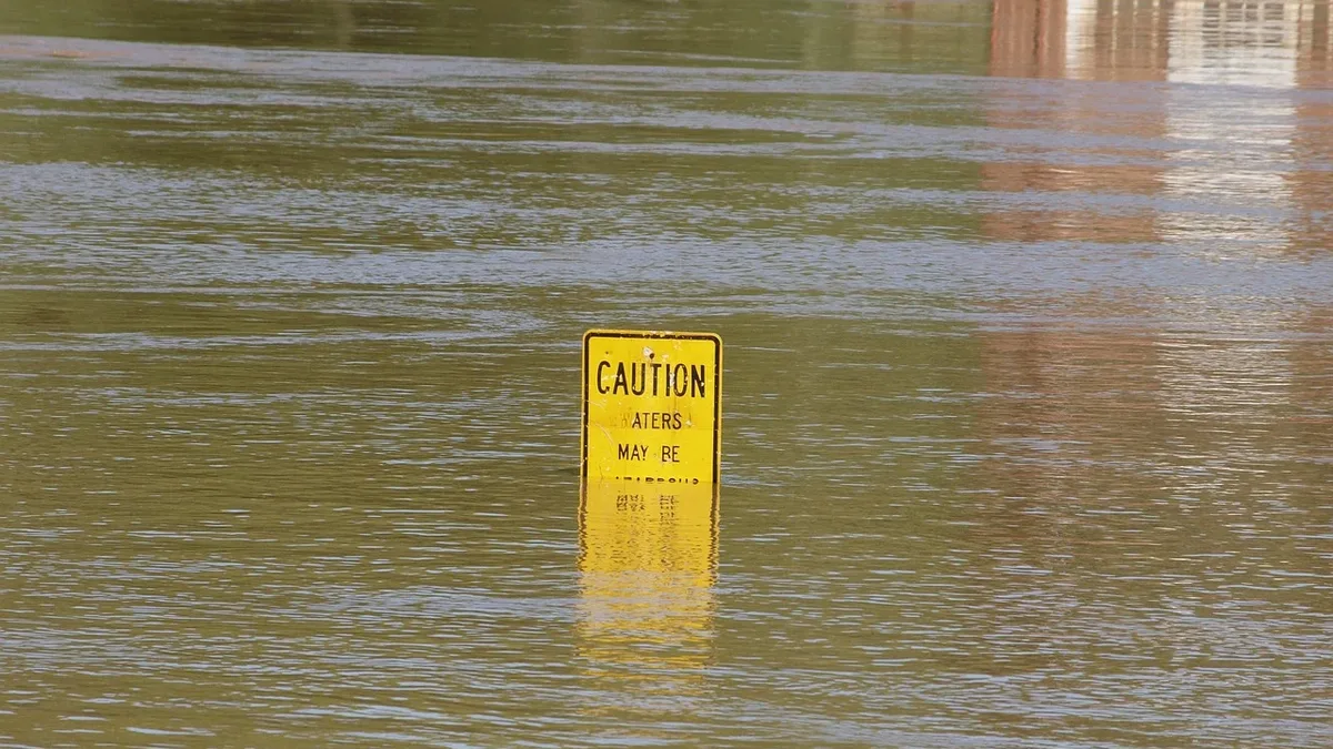
Heavy rainfall and repeated thunderstorms are elevating the flash-flood threat across Arizona on September 16, 2026. The Weather Prediction Center has placed parts of southern and central Arizona under a Moderate Risk of excessive rainfall, with Flood Watches covering much of the state.
According to the WPC's outlook updated at 16:00 UTC, the Moderate Risk is valid through 05:00 MST on September 17. The agency said guidance showed individual storm cells producing rainfall rates of approximately 25 to 65 mm per hour, tracking farther west and north and increasing the flash-flood potential.
Risk Levels and Forecast
The National Weather Service office in Phoenix stated the Moderate Risk, which is Level 3 on a 4-tier scale, extends across most of Maricopa County and the Phoenix metropolitan area. Meteorologists describe this level as representing at least a 40% chance of flash flooding within 40 kilometers of any given point. Slight and Marginal Risk areas were extended farther west toward La Paz and Yuma counties.
Flood Watches remain active across large parts of the state. NWS Phoenix has watches for Maricopa, Pinal, and Gila counties through 23:00 MST on September 16, with additional coverage across most of La Paz County and northern Yuma County. The office provided the following rainfall forecasts:
| Area | Forecast Rainfall |
|---|---|
| Phoenix and areas to the west | 15-25 mm (0.5-1 inch) |
| Eastern higher terrain | 50-75 mm (2-3 inches) |
| Localized areas | Above 75 mm (3 inches) |
Rounds of showers and thunderstorms are expected across central Arizona through Wednesday. The Phoenix Flood Watch warns that many storms can produce rainfall rates exceeding 25 to 50 mm per hour. Training storms, where multiple cells cross the same location, can lead to even higher accumulations.
Specific Areas of Concern
Northern Arizona is also under Flood Watch coverage. The NWS office in Flagstaff forecasts persistent showers and thunderstorms, with heavy rainfall and flash flooding as principal hazards. Its messaging specifically identifies recent burn areas, slot canyons, and already saturated ground as locations requiring particular attention.
Burn scars can respond rapidly to heavy rainfall because wildfires remove vegetation and alter the soil's ability to absorb water, increasing runoff. NWS Flagstaff said the greatest shower and thunderstorm coverage is expected across its southern zones on Wednesday, with widespread activity continuing into Thursday morning and elevated flash-flood concern over recent burn scars.
Current Conditions and Seasonal Context
Localized flood hazards had already moved beyond watch-only conditions in parts of Arizona by late morning MST on September 16. Showers are expected to linger into Wednesday night before activity decreases as drier conditions develop later in the week.
The event is occurring within Arizona's monsoon season, which runs through September 30. Heavy thunderstorms and localized flash flooding remain seasonally consistent hazards for the region during this period.