Rainfall Intensity Change
Origin and history
Rainfall Intensity Change is a meteorological concept developed to quantify alterations in the rate of precipitation delivery over time. Its historical development is intrinsically linked to the advancement of hydrology, climatology, and the widespread installation of rain gauge networks. The need for this metric grew from recognizing that total rainfall volume alone is insufficient for assessing flood risk and hydrological impact. Analysis of historical precipitation records provided the foundational data required to identify shifts in intensity patterns. The formalization of this concept occurred as computational capacity increased, allowing for the statistical analysis of high-resolution temporal rainfall data. It represents a key diagnostic variable in understanding how precipitation regimes are responding to broader climatic changes.
What it is for
This metric serves to inform the design and resilience of urban drainage systems, culverts, and flood control infrastructure. It is used by civil engineers and hydrologists to update intensity-duration-frequency curves, which are critical for infrastructure standards. Emergency managers and planners utilize assessments of Rainfall Intensity Change to evaluate evolving risks for flash flooding and surface water inundation. The concept aids water resource managers in understanding potential shifts in runoff patterns and groundwater recharge rates. Within climate science, it acts as a specific indicator for tracking the hydrological component of climate change, beyond simple temperature increases. It provides a factual basis for revising public warning thresholds and community preparedness messaging related to heavy rainfall events.
Pros and cons
A primary advantage is its concrete, measurable nature, providing an evidence-based foundation for adapting infrastructure and warning systems. It moves risk assessment beyond hypothetical models to observed changes, which can be more persuasive for policy development. A significant drawback is that localized, short-term natural variability can obscure the longer-term trend, leading to debate over its immediate relevance. Municipalities often regret relying solely on historical data without accounting for these changes, resulting in chronic street flooding and overwhelmed drainage during now-commonplace storms. A common mistake is applying broad regional trends directly to a specific, small watershed without downscaling analysis, leading to inaccurate engineering solutions. Furthermore, public communication of this technical metric is challenging, potentially causing a gap between scientific understanding and community risk perception.
Who it suits
This analysis suits civil and environmental engineers who require robust data for designing and retrofitting infrastructure to withstand contemporary rainfall events. It is essential for climatologists and hydrologists focused on detecting and attributing changes within the hydrological cycle. Urban planners and risk mitigation officers in flood-prone regions benefit from its implications for land-use zoning and emergency response planning. Insurance and reinsurance companies utilize such data to model evolving physical risk and adjust actuarial tables accordingly. Government agencies responsible for setting building codes and environmental regulations rely on these findings to update official standards. It is less immediately suited for general public consumption without careful translation into concrete impacts and actionable guidance.
Latest Rainfall Intensity Change news
Latest reporting

Florida Shatters Rainfall Records Amid Widespread Flood Emergencies
Record-breaking rainfall triggered flash flood emergencies across Florida, with over 20 inches falling in some areas.

Hawaii braces for Hurricane Nolo as El Niño fuels Pacific storms
Hurricane Nolo, a strengthening Category 2 storm, is approaching Hawaii's Big Island with threats of extreme rainfall and dangerous surf.

UK summer 2026 was hottest on record, Met Office confirms
Summer 2026 was the UK's hottest on record, with temperatures 2.4°C above average and rainfall 23% below normal, leading to widespread drought.

Hurricane Polo threatens Mexico with torrential rain
Hurricane Polo, a powerful Category 4 storm, is threatening Mexico's west-central coast with torrential rainfall and high surf.
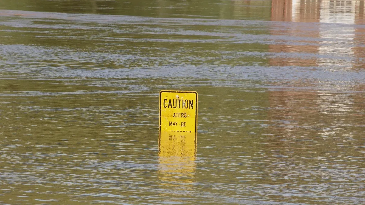
Arizona faces flash-flood risk from heavy rainfall
The Weather Prediction Center has issued a Moderate Risk for excessive rainfall across parts of Arizona on September 16, 2026.
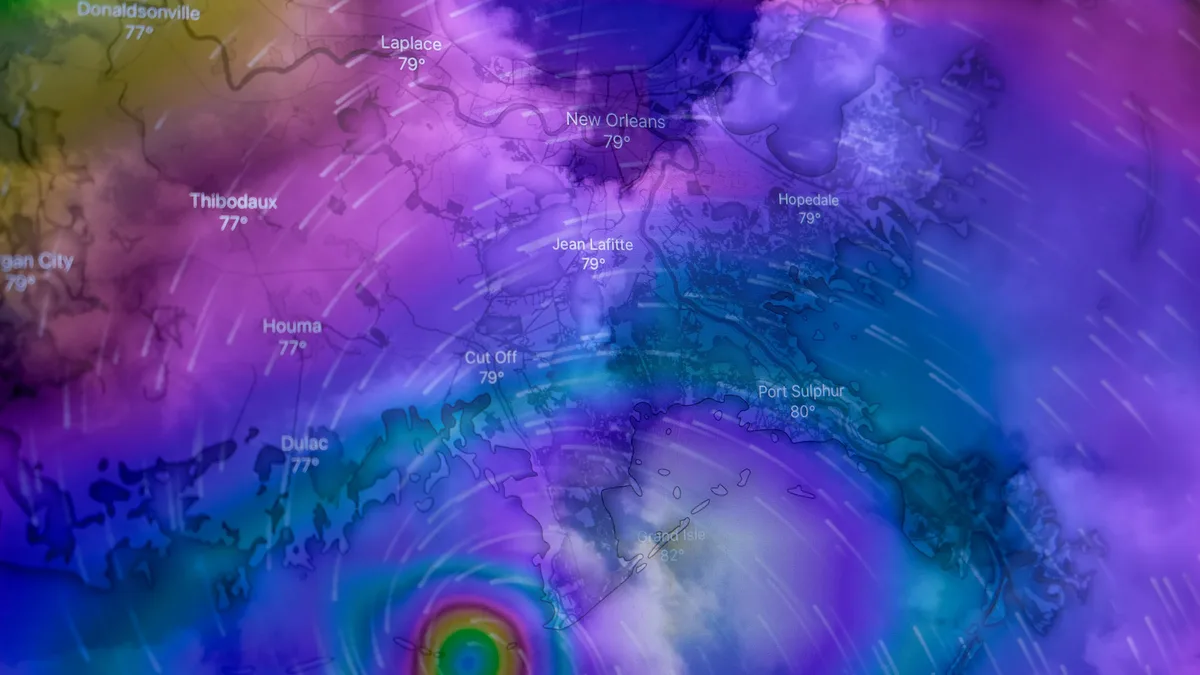
Climate Change Raises Hurricane Risks in Multiple Ways
A new analysis outlines ten potential ways climate change could worsen Atlantic hurricane impacts, from stronger winds and heavier rain to longer...