El Niño temperature record broken months before peak 2024
The current El Niño has shattered the 150-year temperature record for the Pacific Ocean, reaching 3.05°C above average and surpassing the 2015 peak months

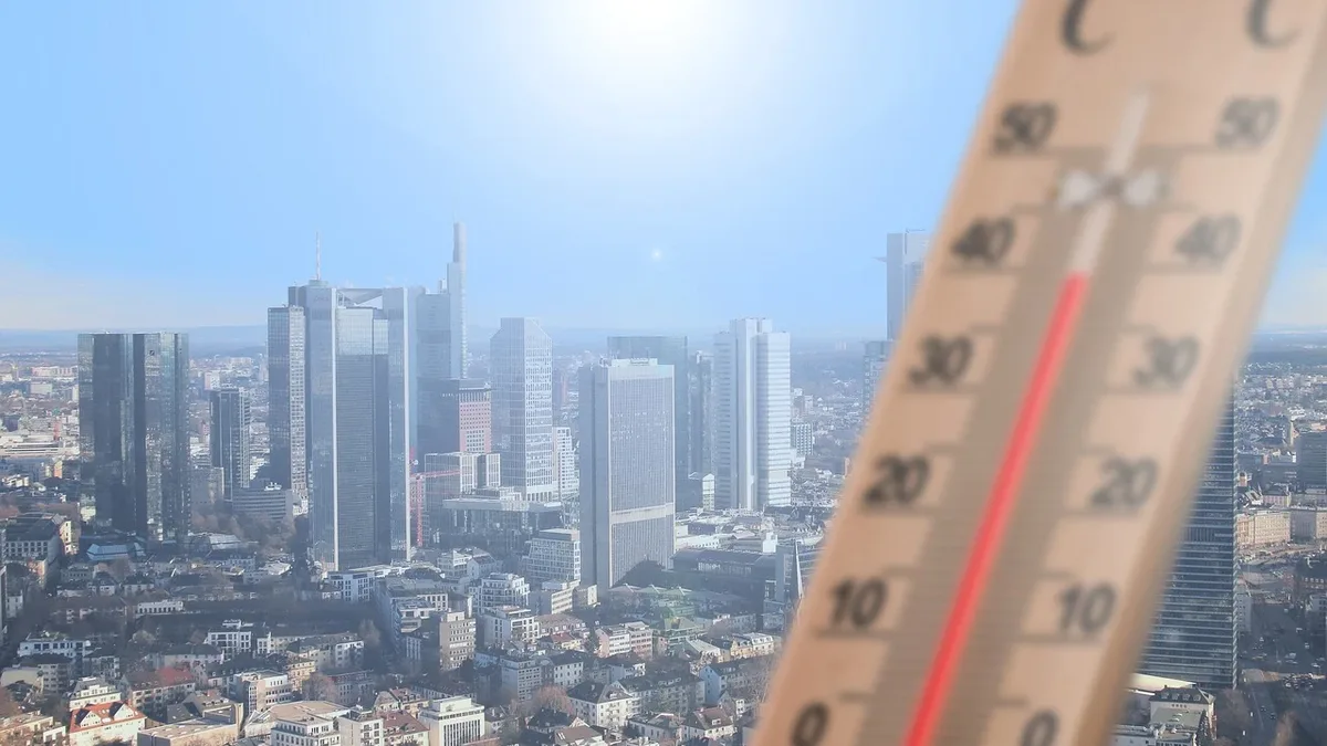
The current El Niño has exceeded the 150-year temperature record in the Pacific, reaching 3.05°C above the 1991-2020 average. This surpasses the previous record of 3.02°C set in late November 2015, months before the event's expected seasonal peak. Scientists predict it is likely to be the largest El Niño in at least 1,000 years. It will pile extra heat into an atmosphere where temperatures are rising rapidly due to human-caused global heating.
Forecasts predict a peak of 4.0°C in November and December based on the average of 14 different models. Zeke Hausfather assessed the 14 models and described the predicted peak as mind-blowing. Others have described it as Godzilla-level. The climate crisis, caused by pollution from fossil fuels, is already boost extreme weather and killing people. This El Niño will ratchet up those impacts.
Prof Bill McGuire said, "What is happening in the equatorial Pacific is jaw-dropping and could well mark one of the biggest global weather upheavals in a millennium." The event is a huge redistribution of energy in the climate system. It is dangerous because it is unfolding on top of a much warmer, human-influenced climate system. El Niño comes and goes, but occurs on an increasingly hotter baseline due to fossil fuel burning.
Global consequences are already emerging
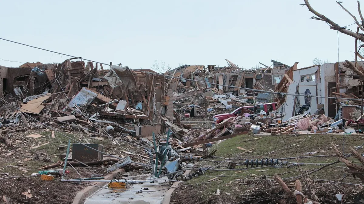
It has already begun to affect regions across the planet as weather patterns are altered. Very strong El Niño events like those in 1997/1998 and 2015/2016 were associated with hundreds of billions of dollars in damages globally. In many places, never-before-experienced heat extremes are expected with consequences on health, food security, and water stress. This makes it much more difficult for communities to deal with the consequences.
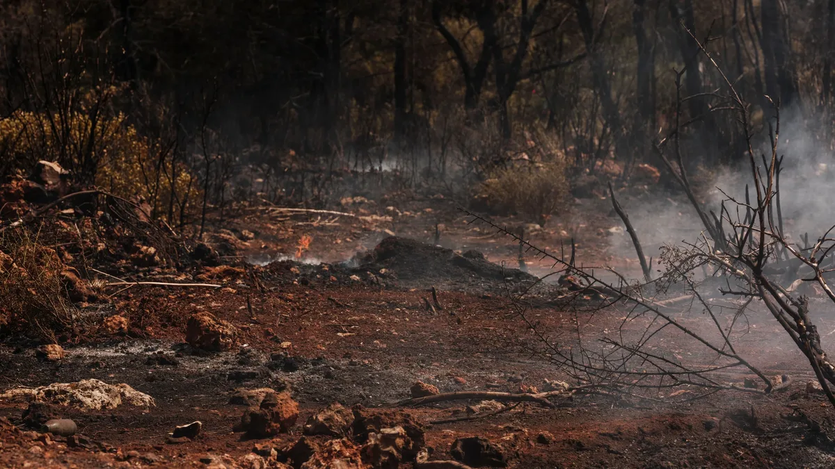
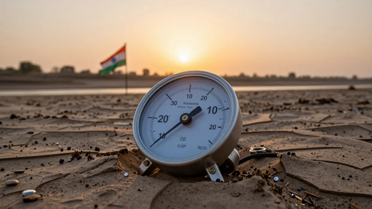
Hot and dry conditions in Indonesia have spurred record wildfires and fatal levels of air pollution. India has seen vital monsoon rains curtailed. Drought conditions in Central America and the Caribbean are causing crop losses. Low water levels in the Panama Canal are slowing trade. The World Food Programme said in August that El Niño impacts are likely to push about 50 million people into acute hunger. It will also drive prices up.
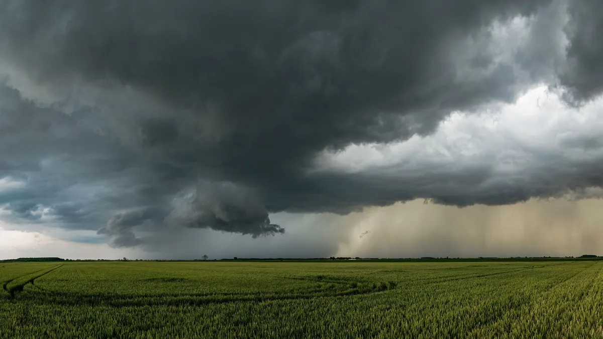
El Niño years see more intense rains and flooding in some regions. Peru and Chile are already suffering from intense rains and flooding, with access to Machu Picchu disrupted. The Horn of Africa is very vulnerable to increased downpours. The southern US is expected to experience fierce rains in the winter.
The southern hemisphere summer is predicted to be hotter and drier due to the El Niño. This means greater wildfire risk and droughts in Australia and southern Africa. Typhoons in the Pacific are expected to be more intense. Atlantic hurricanes are suppressed by El Niño. Unusually, no Atlantic hurricane has occurred yet this year. Scientists are concerned that the climate crisis could shift El Niño patterns.
Any temperature rise above 0.5°C is deemed an El Niño. Above 2°C is officially called a 'very strong' El Niño, often referred to as a 'super' El Niño. The El Niño is expected to peak at 4.0°C in November and December, based on the average of 14 climate models, which would far exceed previous records.