Hurricane Polo Nears Category 5 Strength Off Mexico
Hurricane Polo is forecast to approach Category 5 strength by midweek in the Eastern Pacific, threatening Mexico's coast.
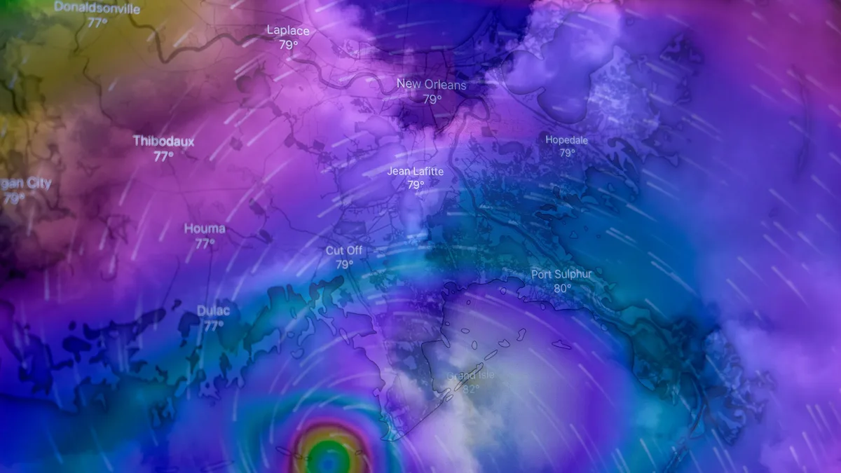
Hurricane Polo could reach Category 5 strength by Wednesday as it drifts toward Mexico's Pacific coast. The storm's forecast rapid intensification occurs amid record-warm sea surface temperatures, which human-caused climate change made 100 to 200 times more likely along the path of a now-fading Atlantic storm, according to Climate Central's Climate Shift Index.
This development highlights a stark seasonal contrast driven by a powerful El Niño. While the Eastern Pacific is frenzied, the Atlantic hurricane season remains anemic. Tropical Storm Fay, which formed in the Atlantic southwest of the Azores, has already weakened, with its winds dropping from a peak of 70 mph to 50 mph.
The National Hurricane Center projects no Atlantic hurricane development for the next two days and just a 20% chance over the next seven.
Polo's Unprecedented Intensification Forecast
Hurricane Polo organized in exceptionally prime conditions. Designated a tropical depression on Sunday, it became a tropical storm within six hours and a hurricane by Monday afternoon. The official forecast from the National Hurricane Center brings Polo from 65 mph winds on Monday to Category 5 strength with 160 mph winds by Wednesday.
Veteran NHC forecaster Eric Blake noted the extreme forecast. Every model responds to these conditions by showing rapid intensification, and the SHIPS rapid intensification index is showing percentages as high as I have ever seen them, he wrote. The SHIPS model gave Polo an 84% chance of becoming a Category 3 storm by Wednesday, odds more than 14 times higher than long-term climatology would expect.
The storm is fueled by light wind shear, a moist atmosphere, and sea surface temperatures near 31°C (88°F). The Eastern Pacific has a history of blistering intensification, including Hurricane Patricia in 2015 and Hurricane Otis in 2023, which jumped from 70 mph to 160 mph winds in 12 hours.
Track Threatens Mexican Coast
Polo is expected to execute a slow loop before accelerating northwestward later this week. Models suggest it will pass dangerously close to the Mexican coast on Thursday, potentially bringing significant impacts from Acapulco to Mazatlan. A tropical storm watch was already in effect from Tecpan de Galeana to Punta San Telmo.
Track uncertainty increases toward the weekend. Long-range models suggest steering currents could push Polo on a more north-northwest track, potentially bringing it toward Baja California and sending moisture into the southwestern United States. The forecast is complicated by Tropical Storm Odalys, which formed northwest of Polo and is predicted to become a hurricane, with the two systems possibly interacting by Friday.
Broader Weather Impacts
Moisture from Polo will combine with seasonal monsoon flow, triggering heavy rain and flash flooding in New Mexico by Wednesday. Forecasts call for widespread 1-2 inch rains and localized totals of 3-5 inches or more. Flash flooding across the Navajo Nation has already claimed three lives in the past week.
Separately, the season's first nor'easter is expected to develop off North Carolina on Wednesday. While track details are uncertain, it is likely to bring moderate to major coastal flooding to the Mid-Atlantic and Northeast through Saturday. NOAA's forecast for Wednesday calls for major coastal flooding in Virginia's Chesapeake Bay.
The National Weather Service in Wakefield, Virginia, predicts offshore winds could reach 40 mph with gusts to 50 mph, with seas building to 10-14 feet. The European model forecasts 2-4 inches of rain from Friday through Saturday for coastal areas from New Jersey to Massachusetts. There is about a 20% chance this storm could transition to a named tropical system late in the week.