Super El Niño Builds Hurricane Shield for U.S. Coast
A powerful Super El Niño is creating an 'atmospheric hurricane shield' over the Atlantic, drastically reducing hurricane development and U.S.
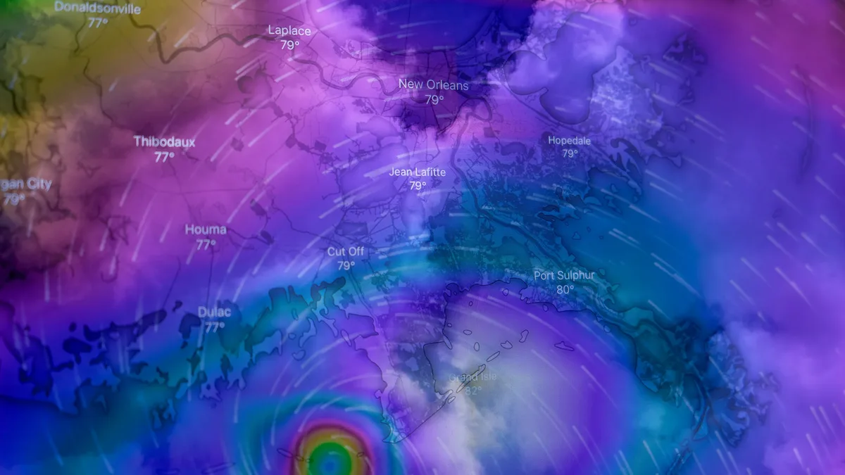
A powerful Super El Niño event in the Pacific is actively suppressing the 2026 Atlantic hurricane season, creating what one analyst calls an 'atmospheric hurricane shield' for the United States. This shield lowers the overall risk of hurricane development and U.S. Landfalls by build hostile conditions over the Atlantic basin.
Ocean temperature anomalies in the tropical Pacific play a critical role in the global weather system. The current strong El Niño phase, characterized by warm ocean waters, is driving large-scale atmospheric changes. Rising air over the central and eastern Pacific corresponds with descending, stable air over the western Pacific and Atlantic regions.
Analysis of NOAA-CRW data shows significant warm anomalies across the tropical Pacific, with peak temperatures exceeding 7°C (12.6°F) above normal in eastern areas. Forecast models from NCEP CFSv2 indicate this event will reach and exceed the Super El Niño threshold, potentially becoming the strongest such event in over a century. A strong subsurface Kelvin wave is providing a stable energy supply, expected to maintain the El Niño's strength well into the winter.
How the El Niño Shield Suppresses Storms
The impact of El Niño on hurricane season is well-documented. During El Niño phases, the number of hurricane landfalls in the United States is typically at its lowest. The emerging Super El Niño is amplifying this effect, creating a hostile environment for tropical storms through three main mechanisms: increased wind shear, sinking air (subsidence), and drier mid-level air.
So far in the 2026 season, this suppression is strikingly evident. The Accumulated Cyclone Energy (ACE) index, which measures the total strength and duration of storms, is at only about 8% of the normal value for this point in the season. Only five short-lived named systems have formed, none reaching hurricane strength.
A key factor is wind shear. Data analyzed by seasonal hurricane forecasting expert Dr. Philip Klotzbach shows Atlantic wind shear in July and August 2026 is the highest on record for the period in the last 47 years. Strong vertical wind shear tilts and tears apart developing storms. Also, analysis of NOAA CORe data reveals below-normal moisture in the lower atmosphere over the main Atlantic development region, consistent with the broad drying effect associated with strong El Niño events.
Forecast: Continued Suppression Through Peak Season
Despite entering the seasonal peak, the Super El Niño's influence remains dominant with no immediate U.S. Landfall threats indicated. The ECMWF model forecast for Accumulated Cyclone Energy in mid-September shows very low activity in the Atlantic, far below the long-term average.
Medium-range forecasts for the next 15 days highlight significant suppression across the Atlantic basin. Probability forecasts show only limited potential for tropical depression formation near the West African coast, with systems expected to fade in the hostile atmosphere. A corresponding rainfall forecast indicates below-normal precipitation over the entire main development region, the Caribbean, the Gulf of Mexico, and along the U.S. East Coast.
In a classic El Niño signature, this Atlantic suppression contrasts sharply with above-normal tropical activity forecast across all regions of the Pacific Ocean. The extended outlook into late September indicates a trend of above-normal atmospheric pressure over the tropical Atlantic, a condition unfavorable for hurricane formation. The ECMWF extended probability forecast reinforces the expectation of widespread Atlantic suppression continuing through the peak of the season.